
We showed up at the park mid-afternoon. Temps were moderate and, though overcast, there was no precipitation. There was only one other car in the lot. There's quite a bit of space in the lot. Interestingly, there was a large pile of wood chip mulch nearby.

The trails in the park are of two varieties. The inner trails (blue loop, orange loop, white trail, and part of the red loop) are mowed, wide, and grassy. In addition, an adjacent unnamed Eastern loop is laid out similarly. For the most part, these trails are dry and firm. Wendy has told me she's seen lots of cars in the lot when she drives by daily, so I do wonder how long these trails will remain clean. I can't help but think this is a preliminary state with a more hardened surface to be added in the future.

We hung a left onto the woodsy half of the red trail. My plan was to hike as much of the perimeter as i could find, taking left turns the entire time. The turn took us into the woods along the Western property lines.

There was plenty of infrastructure on these trails with blazes, bridges, and benches. Overall, it's a lovely and well-maintained trail system, especially here on the West side and in the central loops.


There was a lot of standing water and mud along the outer trails today, however I wouldn't assume this is the usual state of these trails. It is, of course, March and the ground is super-saturated. We'll definitely be back to see what it's like normally, but I assume it's mostly fine.


Above you can see the outer portion of the red loop's varying conditions. The surfaces are actually fairly firm; the wet spots aren't terribly muddy.
Note that there is an offshoot from the red loop on the Southwest corner marked with green reflectors. This spur trail leads around a couple of neighborhood properties and disappears near 146. I'm not sure whether it leads to another parking area on 146 or the nearby neighborhood, but it was getting too close to private property for my tastes, so I turned around.

There are properties bordering the red and white trails on the West side. Some of them have their own little trails leading into the park, this one marked with reflectors.

We were soon at the red/white/blue trail junction. We took the white trail along the perimeter of the park. This trail borders a few farms and some dogs (behind fences) scolded us as we passed by. The white trail is much like the inner red and blue trails, but a little more rugged.
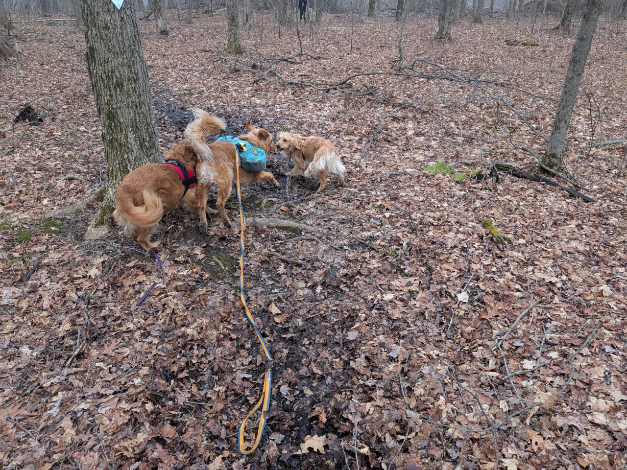
As we reached the white/yellow junction we met up with a couple more golden friends. I let Sunny off-leash so they could freely play for a few minutes. I chatted with their mom for a bit while they played.


The yellow trail is an offshoot of the Northern end of the white trail. It starts by meandering along the top of a ridge.

There were some verdant pools up there today, but otherwise the trail was mainly dry. There are lots of placards along the trails, even along this more rugged section. They describe the wildlife, plants, and other features of the trail which is really cool.

The trail makes a hard right before entering private property and becomes a bit of a country lane, straight and true downhill along property lines. It leads past a junction and a small pond. I stopped here after seeing some buildings in the distance. I believe the pond is right on the public side of private land, though the lane continues onto this land.

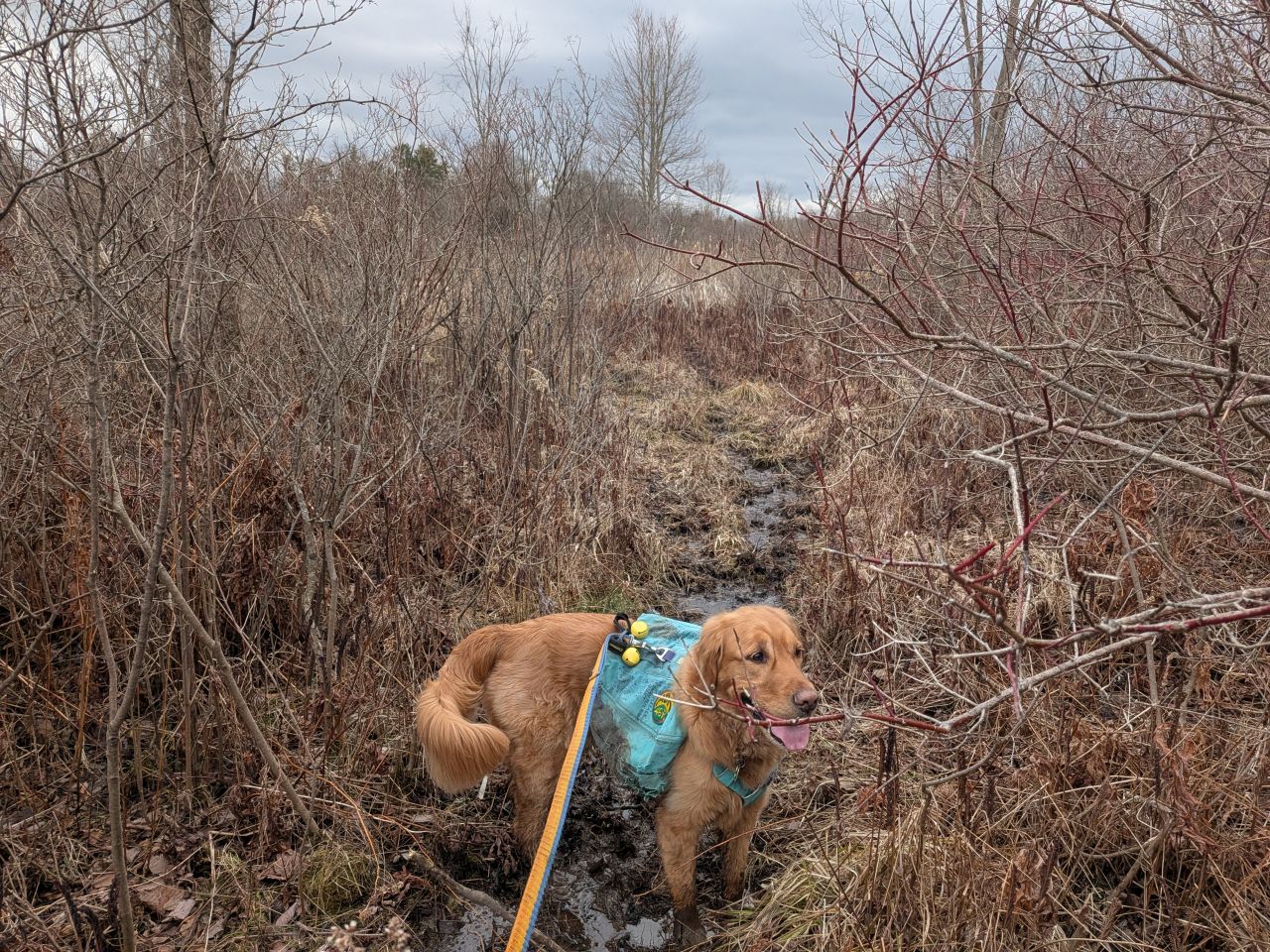
We turned around and continued on the yellow trail. At this lower elevation below the ridge, the terrain was extremely muddy. I'd nearly put on my gaiters before leaving the house today, but I'd decided it wasn't worth the hassle. As I was wearing my trail runners today, I kind of wished I had since I did get some water in my shoes.

Despite the mud, it was nice to be on a real trail.There were some more informational placards along the trails down here anyways. I bet this is quite a great spot to bring kids for a nature walk in drier months.

We eventually climbed back up to the ridge and the yellow/white/blue junction. The grassy blue trail leads to an open area with a bat roost in the distance and benches. This would be a really fun place for an event of some kind. It's actually kind of close to the parking area, so it would be a neat place for a more secluded picnic away from more popular parks.

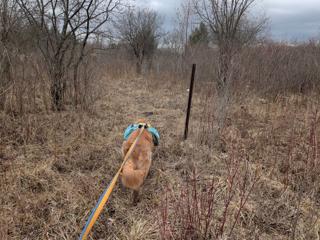
The blue loop circumnavigates the big field and features a few trail offshoots. The AllTrails map doesn't really detail these, but I followed the main one to the East. These trails are mowed grass surrounded by land that definitely appears to be former farmland slowly being reclaimed by nature. At the moment it's mostly grasses and low plants all around.

Here you can see how the trail here is a natural surface of mowed and compacted field grasses. This Eastern trail isn't marked, but it's hard to miss anyways.
We found some infrastructure pointing to the field's former purpose.
There were several herd paths heading off into the grass along the way and I feel like many of them are literally herd paths for deer. We did see some droppings today. We followed one of these herd paths because it looked like it might reconnect with the blue trail later. However, it got steadily more and more muddy until it came to a place with tall reeds. I didn't bother sloshing further on because I figured we'd end up in standing water before too long.

We backtracked to the grass trail and headed out back onto another open field.
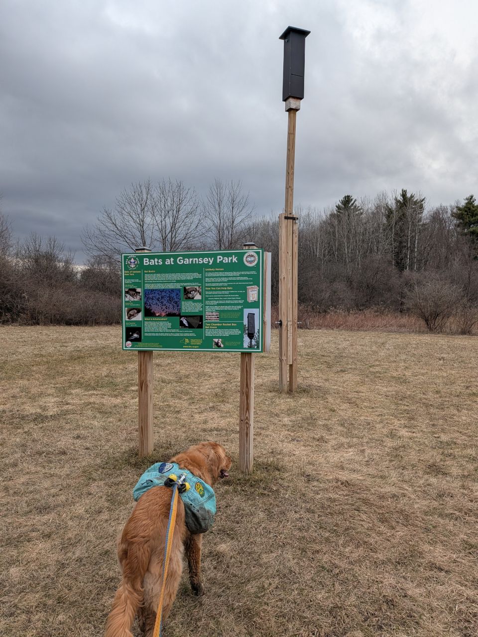
It was cool to see there are lots of birdhouses and two bat roosts here in the park. It's a neat idea. I wonder if it helps to keep the mosquito population of the park down.

Our 3.5+ mile hike was nearly at an end. Again, in an effort to hike the entire perimeter, we took a left and exited the blue trail to follow a path on the other side of the hedgerow.

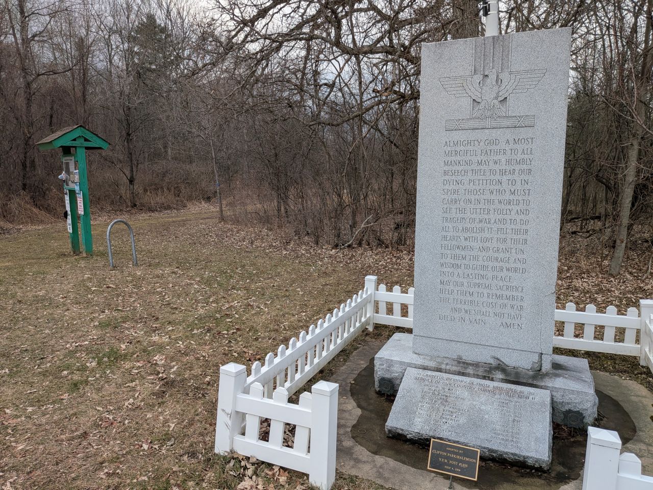
There's a lovely patio garden in memory of Maria L. Sciocchetti out here by the parking lot. It features benches, a community library, and flowerbeds. It seems to be quite a peaceful location to relax
Garnsey Park is a cool place for a neighborhood hike. I've seen pictures of the trails in warmer months and I look forward to getting out here later in the year. I do wonder if there might be grander plans for the trails in the future, but what they have here is perfectly serviceable as-is. I bet this place is also fun for snowshoeing and cross-country skiing and I think we'll be back next winter to give it a try.
Route Map

Evening_hike_at_Garnsey_Park_Trail.gpx (188.3 KB)