2000' of Fun Times and Waterfalls
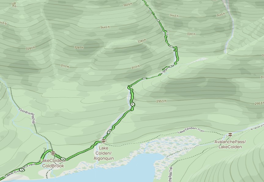
After strong effort climbing over Marshall, we were ready to take on one of the steepest official trails in the High Peaks, the Algonquin Trail from Lake Colden to the col between Boundary and Algonquin. This section of hike is 1.5 miles with 2000' of elevation gain with 1000' of it on the last half mile.


The trail starts off trying to trick you into thinking it's gonna be a mud pit the entire hike, but it quickly morphs into a rocky stream climb.
The first leg of the climb, as usual, follows a drainage over ancient piles of scree that have collected soil, trees, and plants over the millennia. As such, we were hiking in the stream and over piles of rocks for a while.
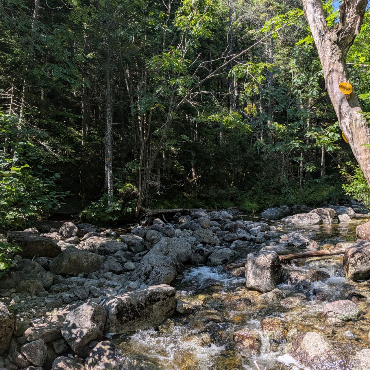
On this lower portion, the trail does sometimes duck into the woods a few times, but anyone hiking this shouldn't get used to it.
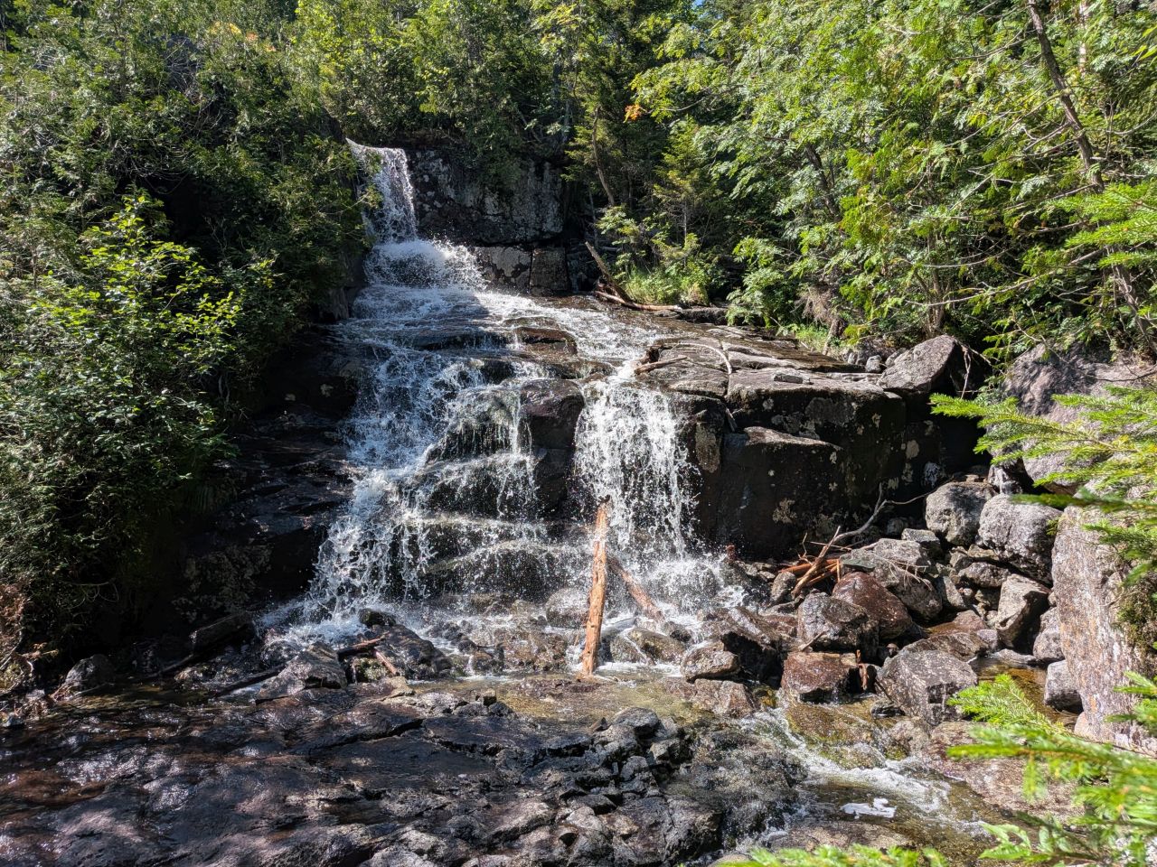
A big waterfall and swimming hole marks the start of the real climb about a half mile and 300' of elevation into the trail. It's a really cool spot. It was so difficult not to dunk my head in the cool waters. Then, I spotted a lost water bottle lodged in some roots and that was all the encouragement I needed. I was clearly obligated to go get it.
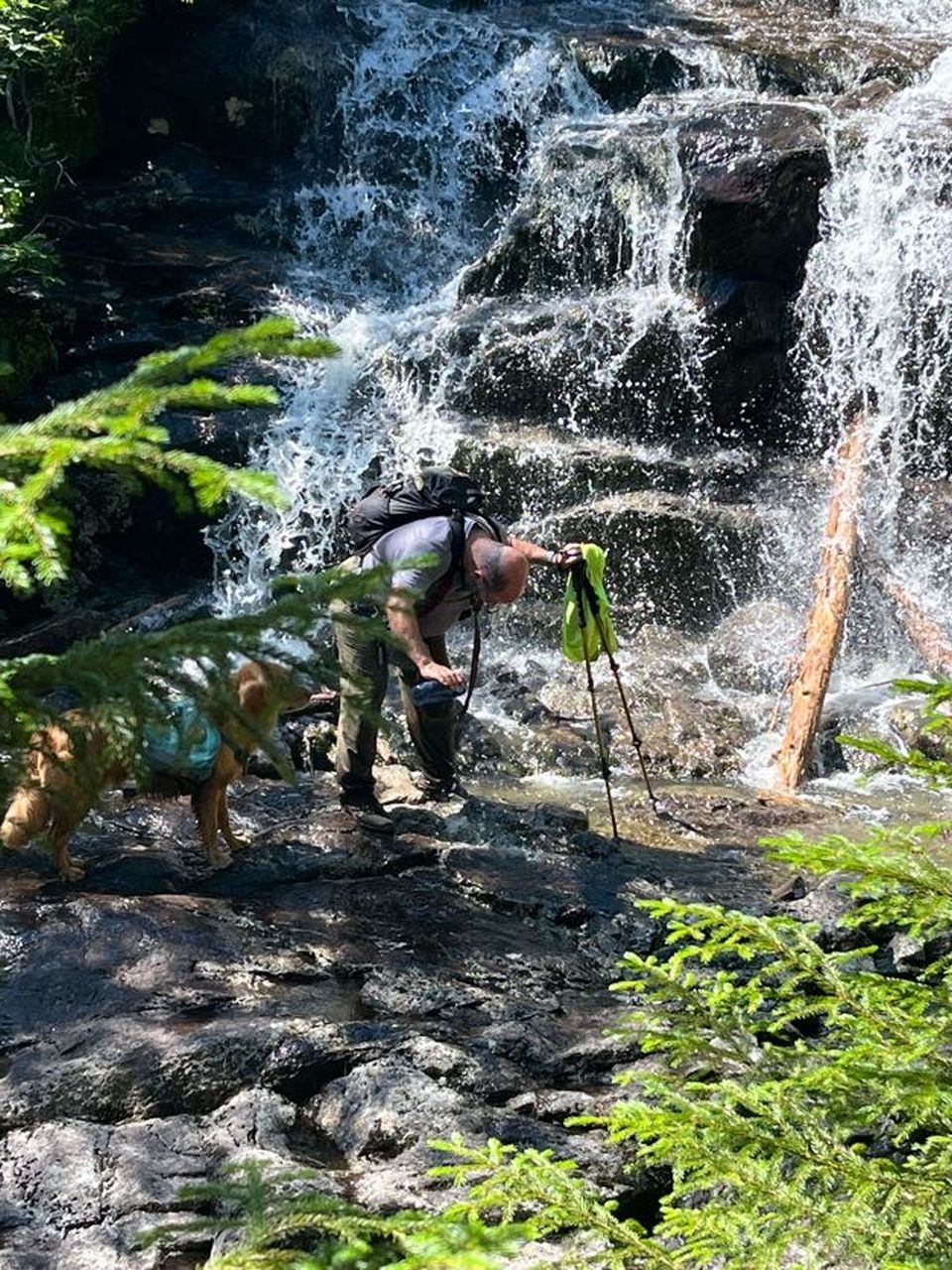
I doused myself with fresh water from the waterfall and it was an absolute delight. This bottle wasn't the only trash we packed out that day, but this was by far the most rewarding.
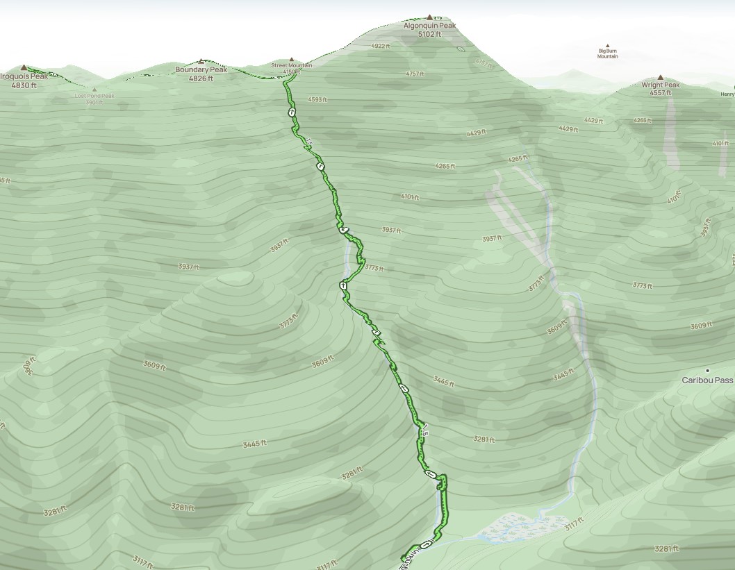
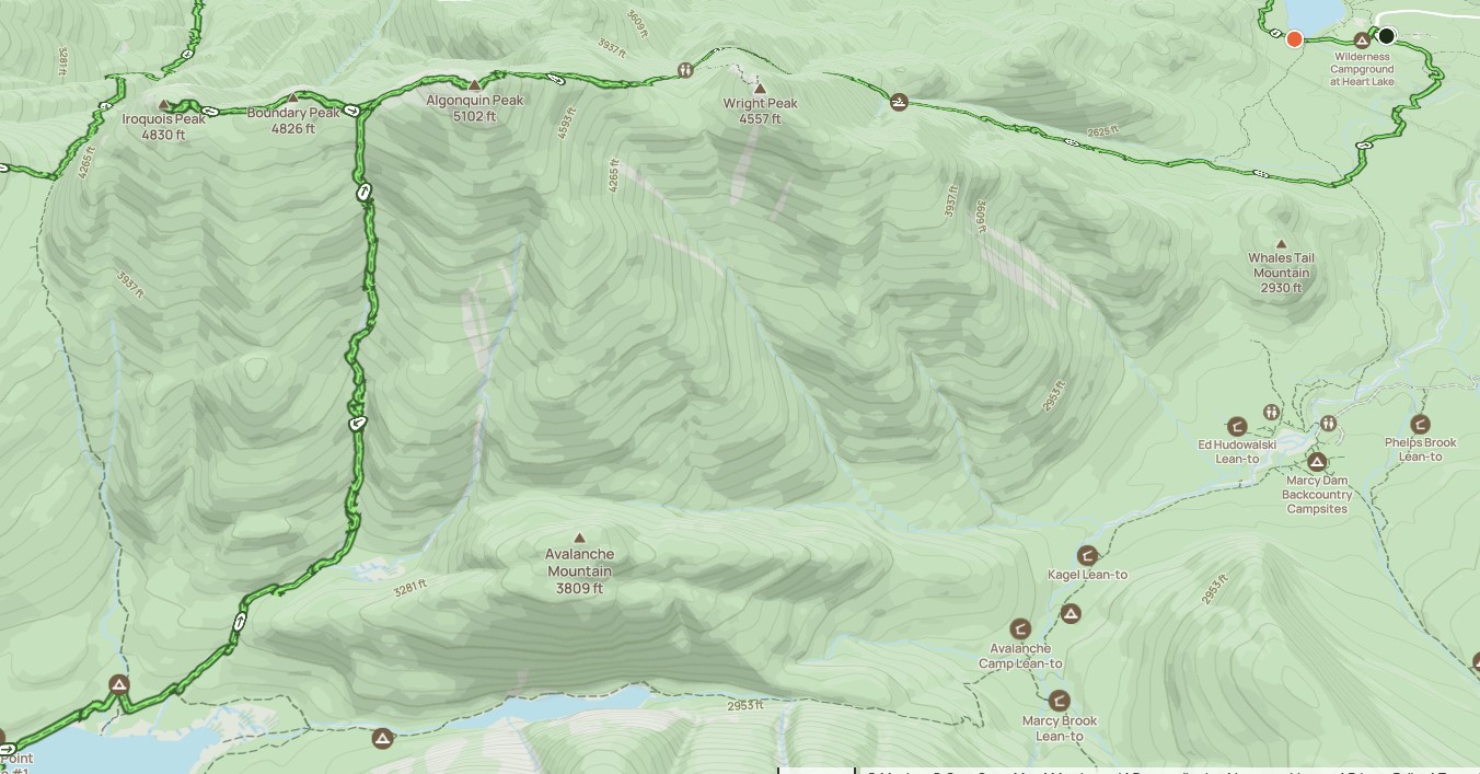
We were undaunted by the tale the map was telling.


There are lots of ledges to scale going up the 2nd half mile of the hike. Charissa and I managed them fairly well while Sunny just crushed it. We met several folks, especially young ones, on this trail today. They were all mighty impressed with Sunny. I think a youth group of some kind was especially happy to see him, saying that he really lifted their spirits.

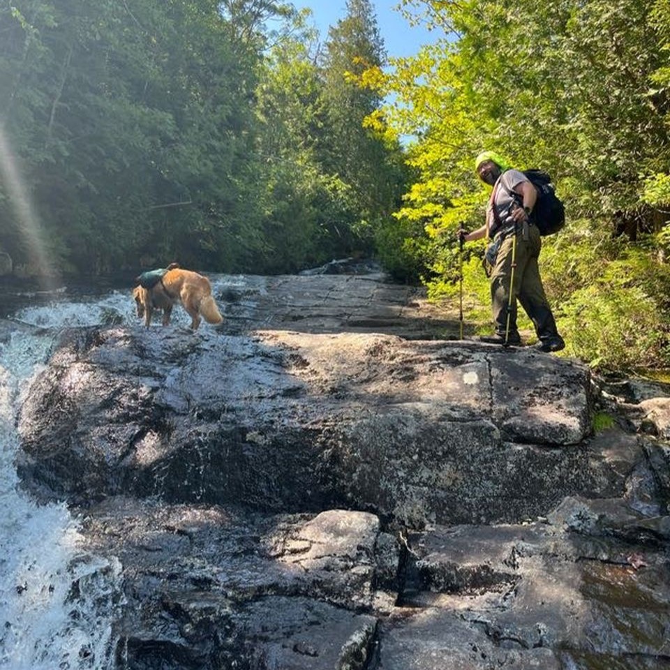
Long, exposed sections of stepped slabs make up a lot of the trail through here. Water cascades right beside you as you climb. Even when wet, however, the porous granite that makes up the side of the MacIntyres is quite grippy and safe to scale even when it was super steep.
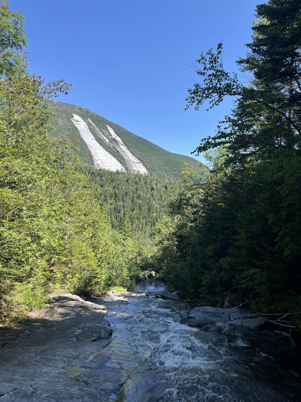
I was starting to get a bit fatigued as we climbed the side of the mountain. I had to stop every couple hundred feet to breathe and take a drink. It was now that I realized I should have brought six sandwiches instead of three. The next time I hike more than 12 miles, I will be sure to do that. Fortunately, every time we stopped, we were blessed with an incredible view of Mount Colden. This also gave us a reasonable gauge of how close we were to the ridge because the peak of Colden is about as high as the col between Algonquin and Boundary.
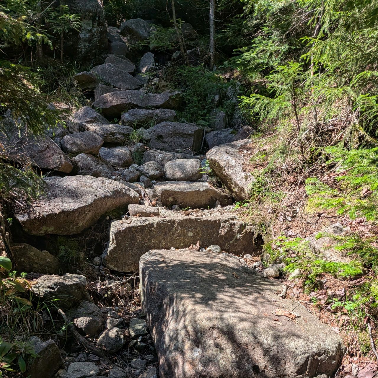
There are some spots where the trail leaves the stream and goes up stone stairs. Some of the stairs were put there by trail crews, but others were not. I genuinely don't know which this is. Looking at sections like this, Charissa and I remarked many times that we were very glad we weren't descending on this side.
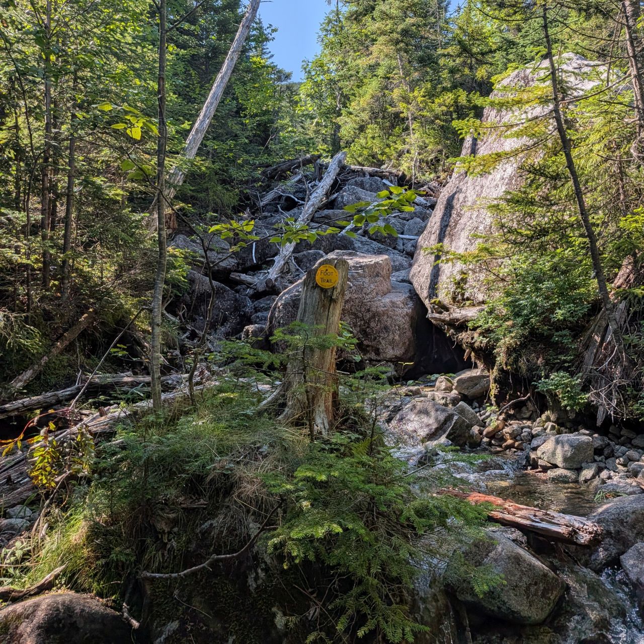
This is one of my favorite photos from the day. It really encapsulates this trail. "Yeah, dawg. Climb this stream. It's all good."

There's a lovely swimming hole at the base of the ultimate climb a half mile from the ridge. If you've got the time, take a moment to enjoy it before climbing the final thousand feet of elevation. Sunny certainly did! After this, the climb could be accurately described as "steep as fuuuuuuuuuuck."


Ladies and gentleman, the trail! Once again, I must reiterate that I never felt in any kind of danger. The rock here is so porous that we were kind of making quick work of it all things considered. It had only taken us an hour to climb from the junction to this point. However, going would naturally be a lot slower with 1000' over 0.5 mile to contend with.
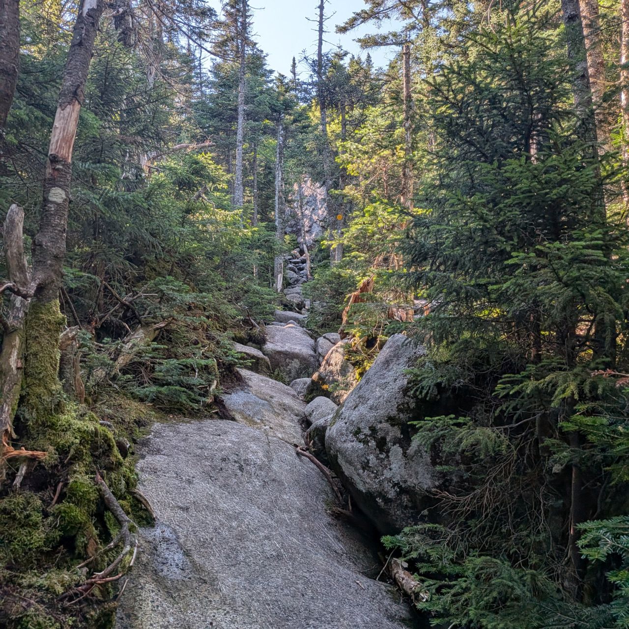
The terrain up here is so fractured and interesting. The soil is so very thin, I was glad to see hikers tended to stick to the trail here. It was easy to do so with so little mud and the rock being so grippy.
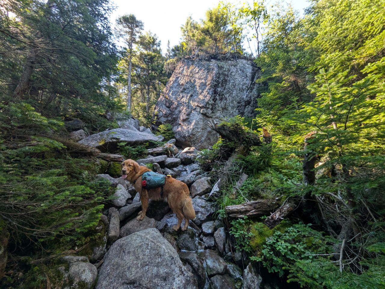
You know I'm a sucker for a big rock with trees growing on it. I'm just glad I didn't have to climb it.
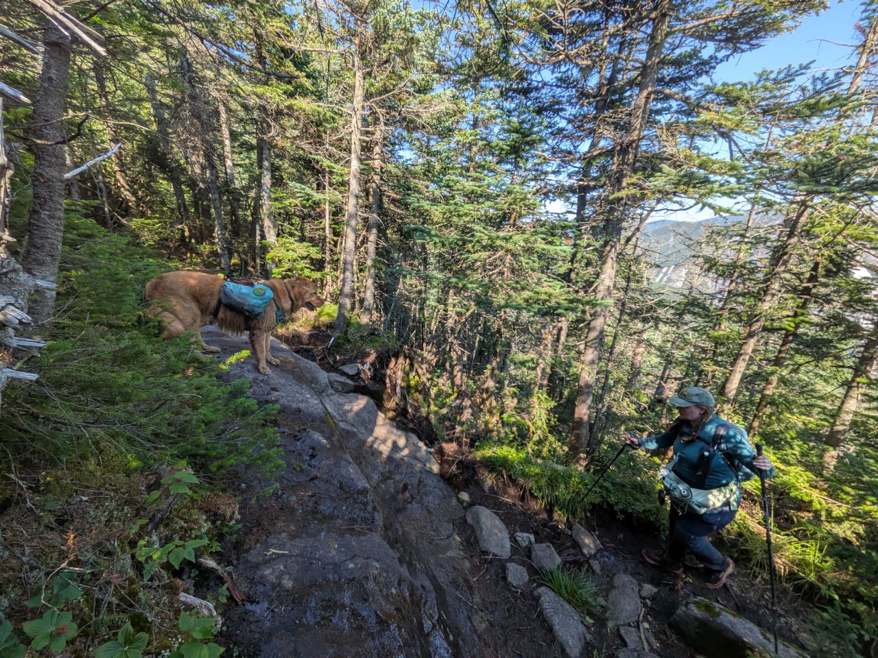
Sunny was cheering Aunt Charissa on. Personally, I was slowing down quite a bit, taking every 100' or so with a water break. I really wanted that last sandwich, but I dared not eat it quite yet. The supply of Welch's fruit snacks were sustaining me in the mean-time.
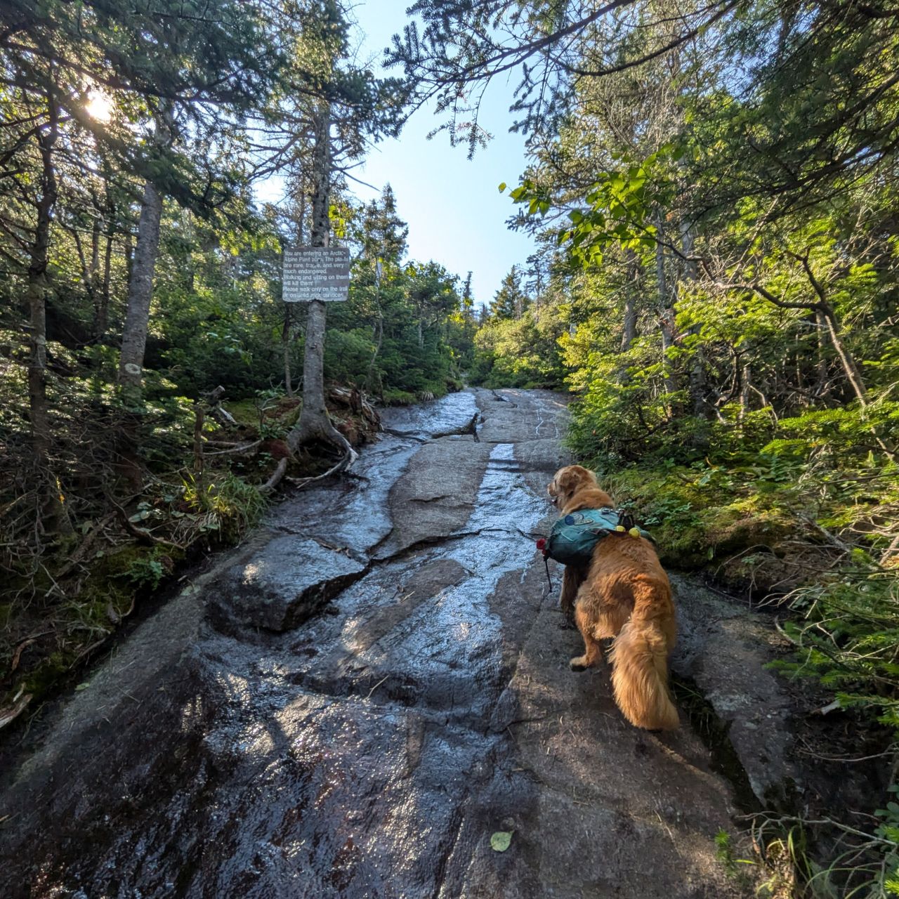
We knew we were on the final push when we were climbing up a wide, bare slab and passed the Alpine Zone sign. Sunny was a good boy and stuck to the trail as usual.

We took one last water break before breaching the ridge. As you can see, we've nearly reached the summit of Colden, just on the other side of the pass.
MacIntyre Ridge
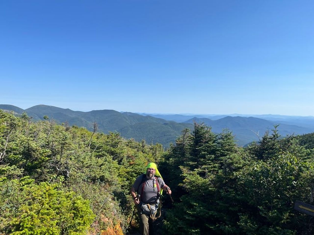
We breached the ridge at 4:40, exactly two hours after leaving the Lake Colden Trail junction. In retrospect, we actually made pretty great time for the effort involved. We were so excited to be on the ridge. It was an absolutely perfect day.
Before moving on, I messaged Wendy to let her know we were now running about 20-30 minutes behind. We'd be hiking out in the dark, but not terribly late.
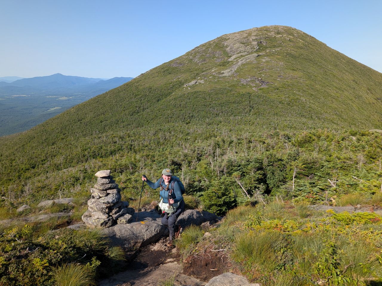
We immediately made our way over Boundary (and the PUD between Boundary and Iroquois). It was a very different experience than in the Winter, that's for sure. The path was a lot more circuitous, but it was good to not have to worry about spruce traps.
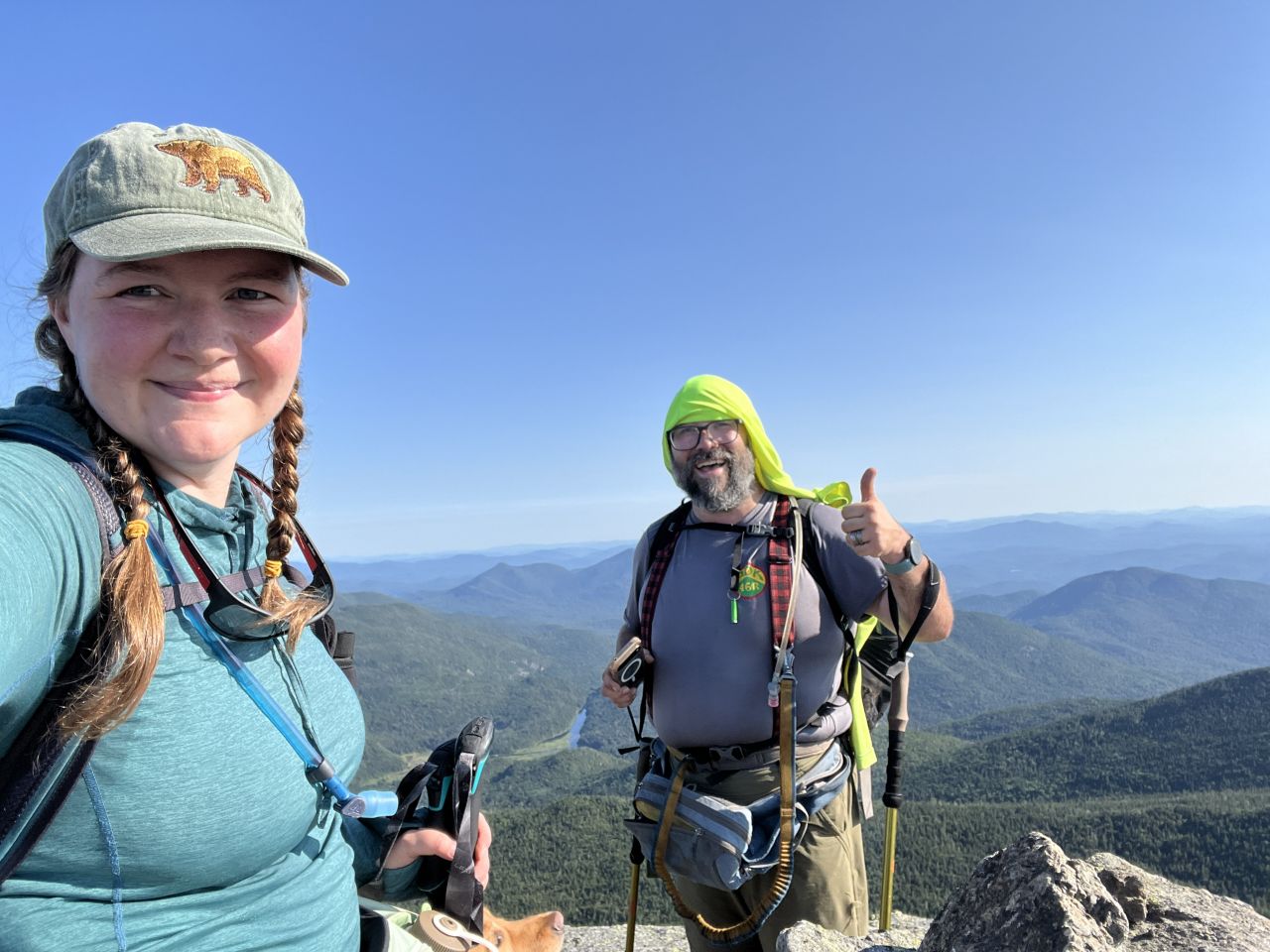
We made it to Iroquois by 5:20. Here I ate my sandwich and had a celebratory beer. Charissa and I hashed out a game plan for the rest of the hike. I was pretty sure I didn't have enough gas for Wright and we were approaching the possibility of a 15-17 hour day and I wasn't sure it was good for Sunny to push up the mountain either, at least not without more fuel. I was keen to wait for her, however, so we decided to call an audible later at the junction.
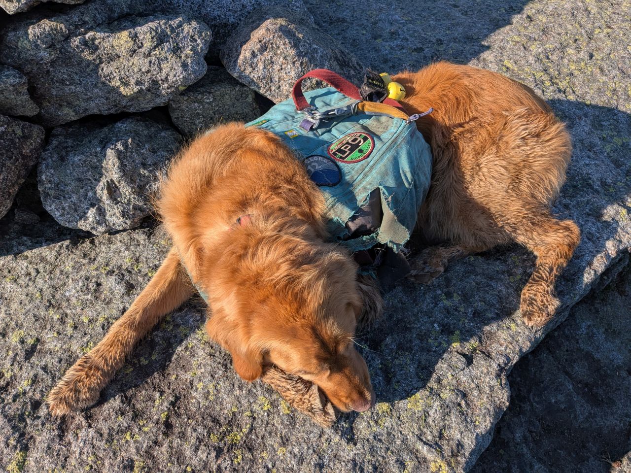
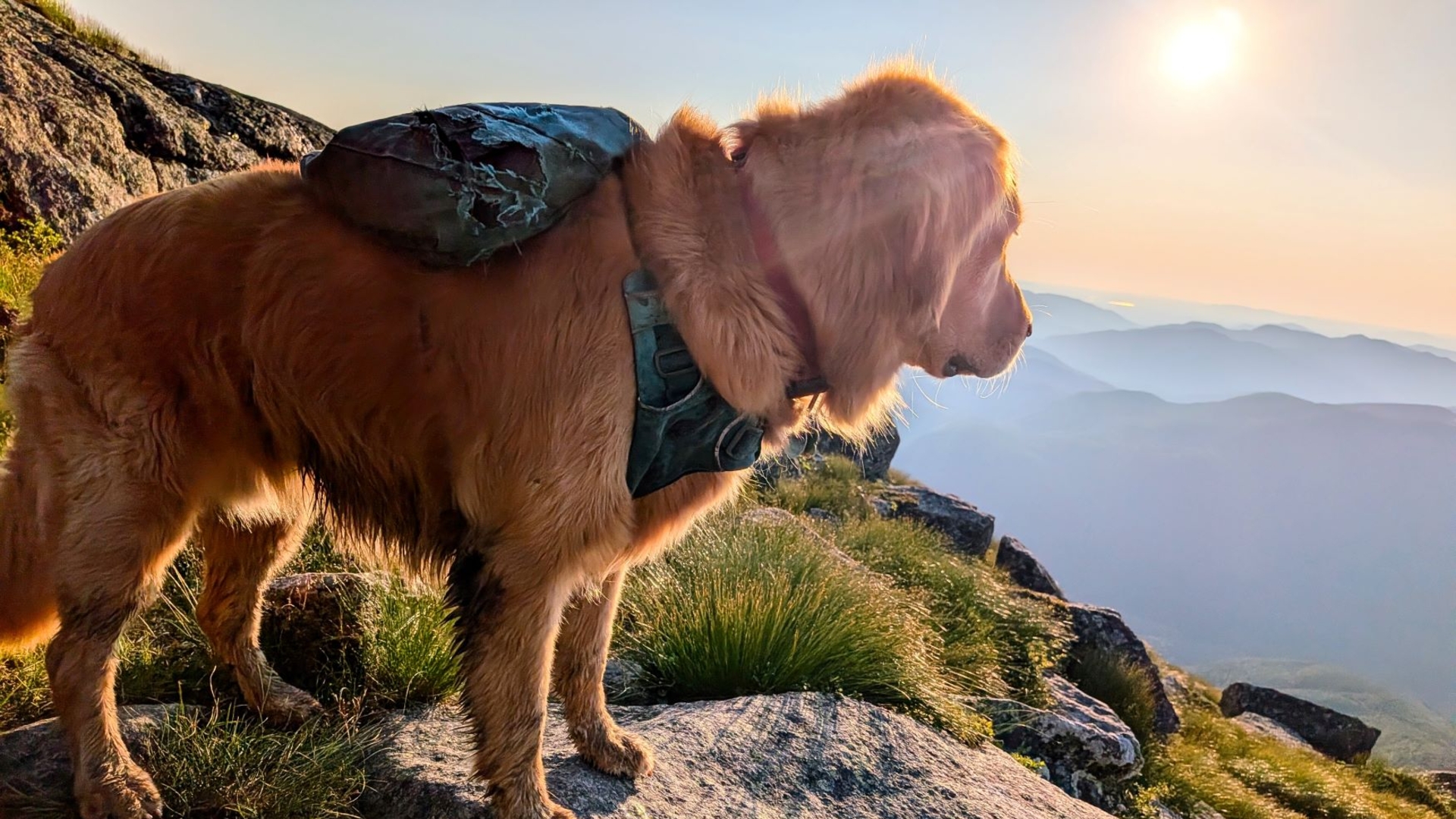
To punctuate the point, Sunny took a nap.

I still love looking down on Marshall from Iroquois. We marveled at the fact that we'd just been over there five hours ago and that we'd hiked all this way already. Other people might be faster, but we're tough cookies.
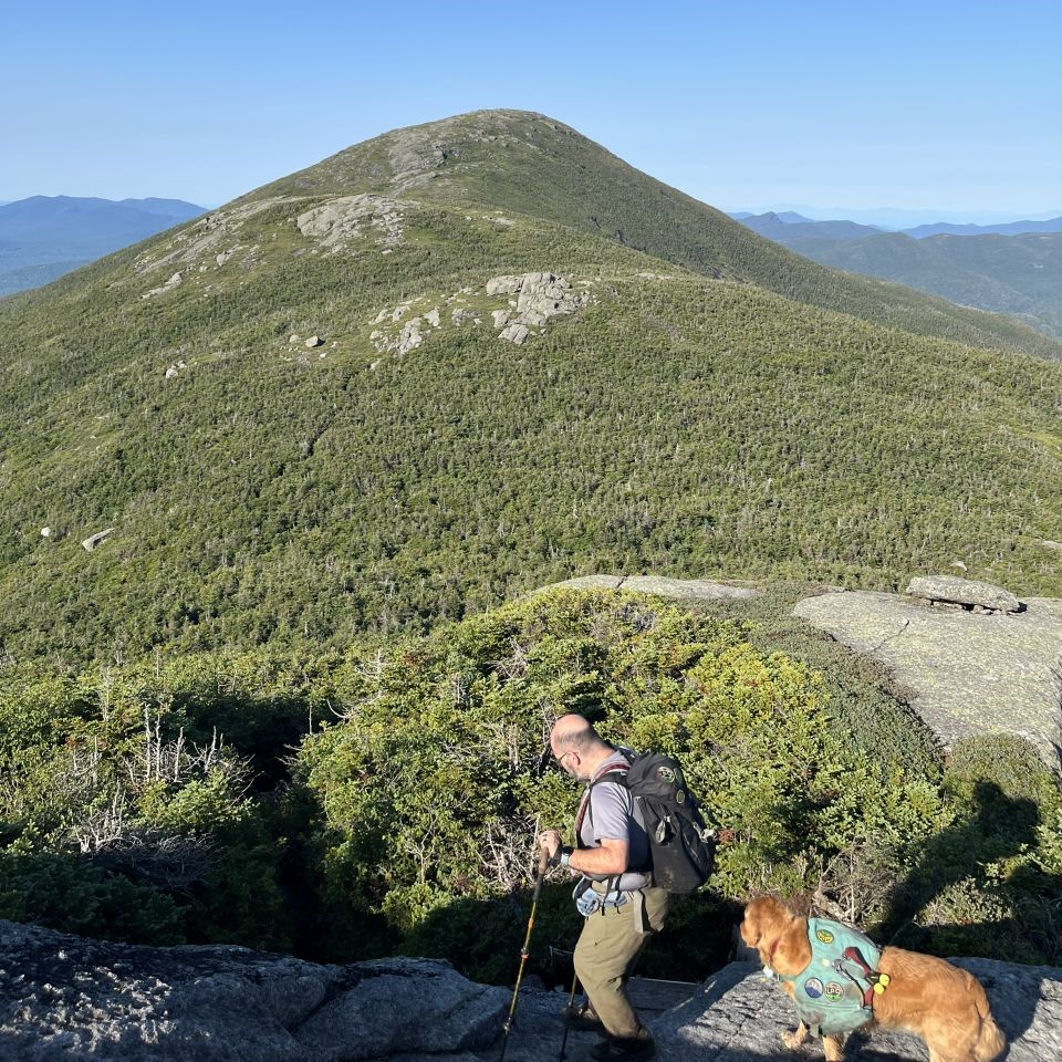

As the sun began to wane, we made quick work of the 0.8 mile between Iroquois and Algonquin.

Well, quick-ish. It took me about 50 minutes. Charissa definitely got there shortly before I did. Regardless, Sunny and I made our fifth ascent of Algonquin with no regrets.
Here, we ate, drank, and changed our socks while we made a game plan. Charissa would forge ahead while Sunny and I took an extended break on Algonquin. We would wait for her at the Wright junction when we descended.

Sunny wasted no time taking a nap in the shade.

He was roused a bit later by a couple of fellas on the summit waiting for the sunset. I chatted with them a little while I repacked everything. Sunny's pack had a pretty substantial hole in it, so I moved some things around to avoid losing anything. I'm not sure it'll be repairable at this point because it isn't just the superficial external layer that's ripped, but the sturdy, water-resistant internal one as well.
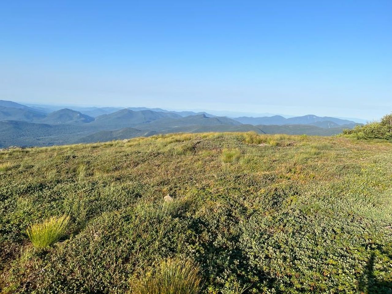
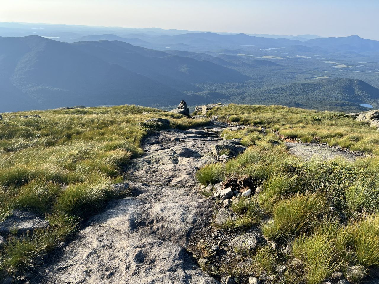
Meanwhile, Charissa was making her way down the mountain. The restoration of vegetation on Algonquin really seems to have been a pretty great success. The alpine meadow up there is gorgeous right now.

Sunny and I started our descent at 7:05, about 20 minutes after Charissa left. On the way down, we passed two groups heading up for the sunset. Algonquin is kind of the perfect sunset hike because it's really close to the trailhead and offers great views in any direction. Also, you can take advantage of the cheaper half-day parking at the Loj and you'll probably find a spot without issue.
When we reached the Wright junction, Charissa was waiting for us and told me that she'd just arrived there. Something was screwy with her shin. We quickly called an audible on climbing Wright. It was too late and we didn't have the gas for it. Fortunately, Wright is a very easy single mountain to hike and either one or both of us could bring a kid along for the adventure depending on schedules.
The Long Walk

The sun set as we descended the mountain. Fortunately, the Algonquin Trail is a very well-maintained and clear trail. It was very easy to descend with headlamps on. In addition, we had 5G for a while as the trail wound around Wright with lots of open exposure looking towards Lake Placid. As such, I was able to keep Wendy apprised of our progress for a bit.
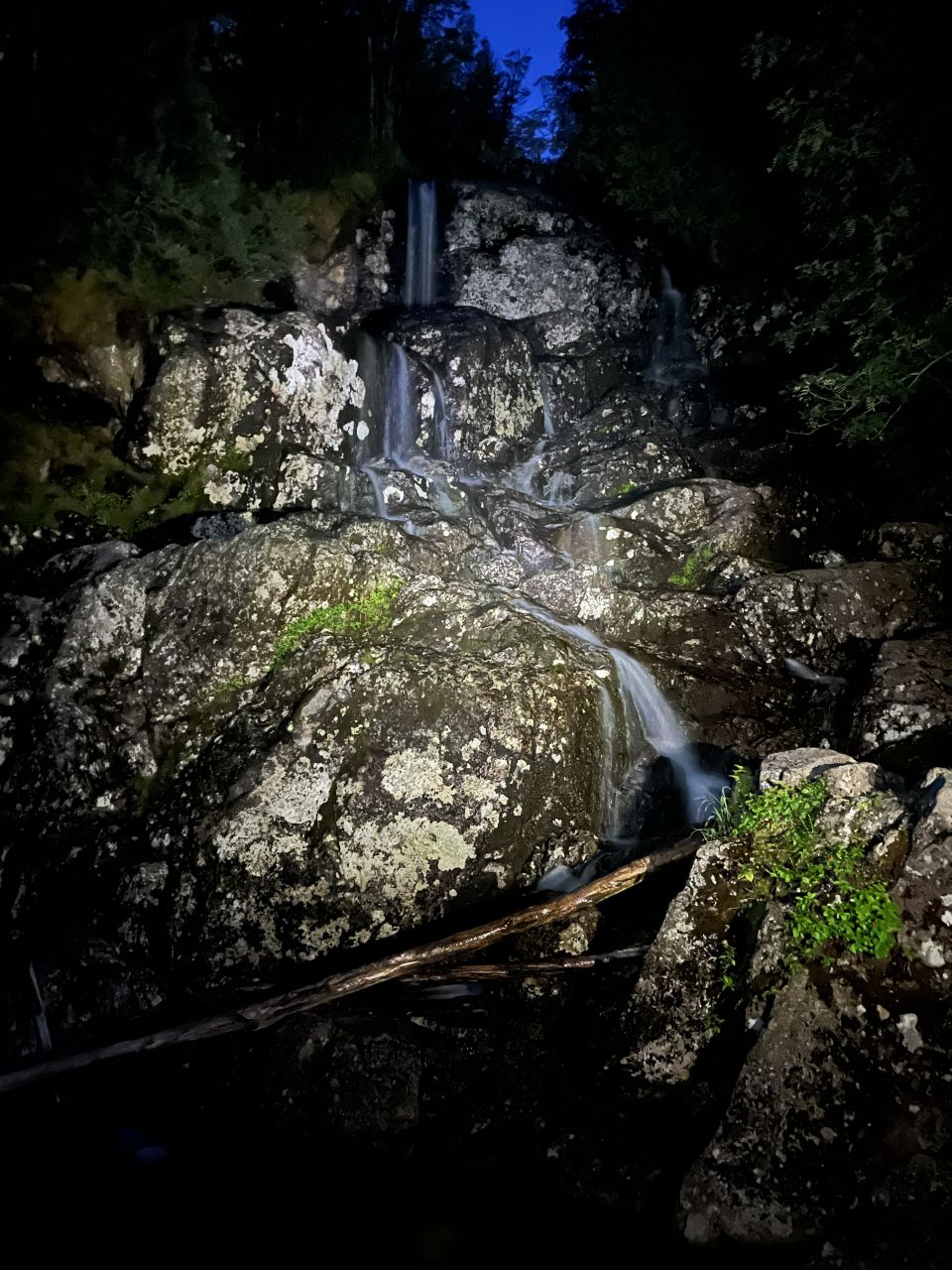
Of course, when we came to MacIntyre Falls, we figured we might as well take one last waterfall photo of the day, even if it was in headlamp light.
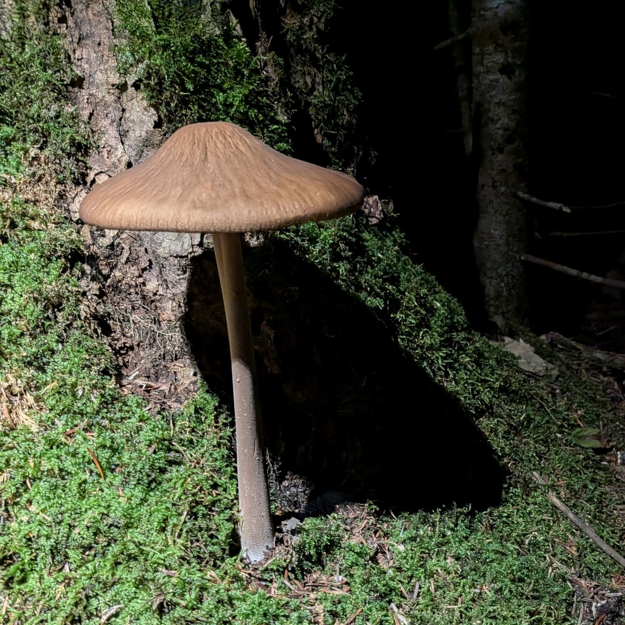
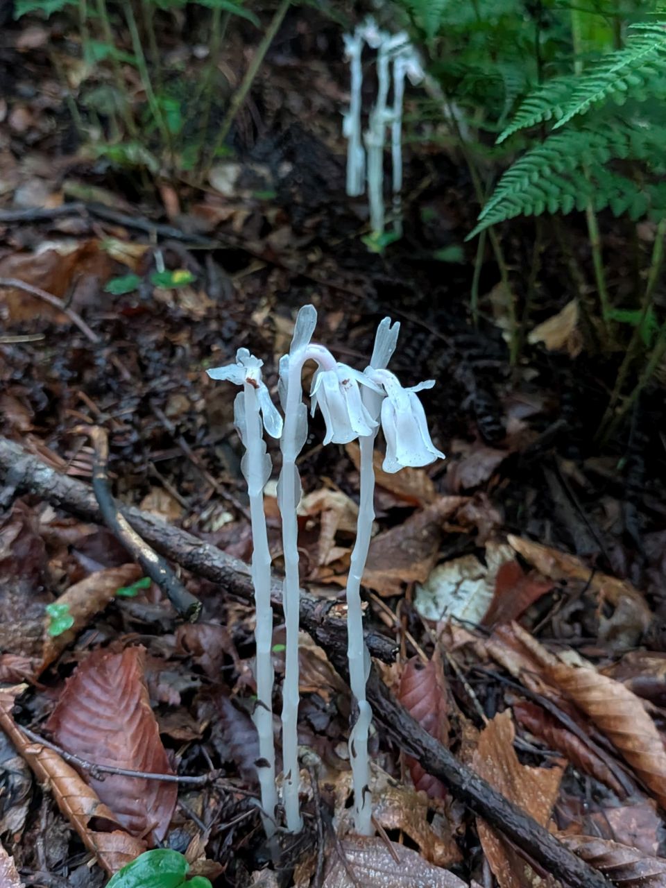
And, sure, why not one last mushroom photo, too. Google seems to think this big fella is of the Hymenopellis genus, a Rooted Collybia.
Only one of the sunset groups passed us on the way down. Only one of the other groups had said they were camping at MacIntrye falls. We hoped the other group had as well.
We arrived back at the Loj at 11:10, four hours after we'd left the summit of Algonquin. This was about an hour slower than the last time we'd hiked Algonquin in the Summer, but considering the huge miles and elevation we'd done today, I consider it pretty reasonable. The descent and then subsequent hike out had been arduous to be sure, but we were doing fine.
I immediately slugged the Gatorade I had stashed in my cooler. I was ravenous. I definitely need to pack more food for the bigger days and I'll remember to do that next time.
Today's hike had been awesome. Allison said later that she'd also had a day on this trail that lasted a week and that rings pretty true. There's so much to see and a vast variety of terrain. It definitely felt like a whole adventure. I'm glad Charissa chose the route she did because I got to se three sections of trail I've wanted to try for a while. Hopefully the log here will help others in the future.
The only regret I have is the late drive home. The drive home is always the most dangerous part of any hike and it was made more dangerous with the lateness of the day. I drank caffeine and ate snacks the whole way home and was wrecked the next day.
Still, I'm glad for the experience. It was an absolutely stellar day in the woods and on the mountains. Congrats to Charissa on #33, #34, and #35. She still has the Upper Great Range, Lower Wolfjaw, the Sewards, Porter, and Cascade remaining.
For my part, I'm hoping to at least join her for her finish on Cascade. Wendy, Quinn, and I will be going on vacation in Maine soon. I don't know if we'll do any hiking out there, but I'll be doing a bit of adventuring at our annual Geekend as I mentioned before. I might ask Erica to join me on Scarface so Sunny and I can finish our Saranac 6er.
Route Map