


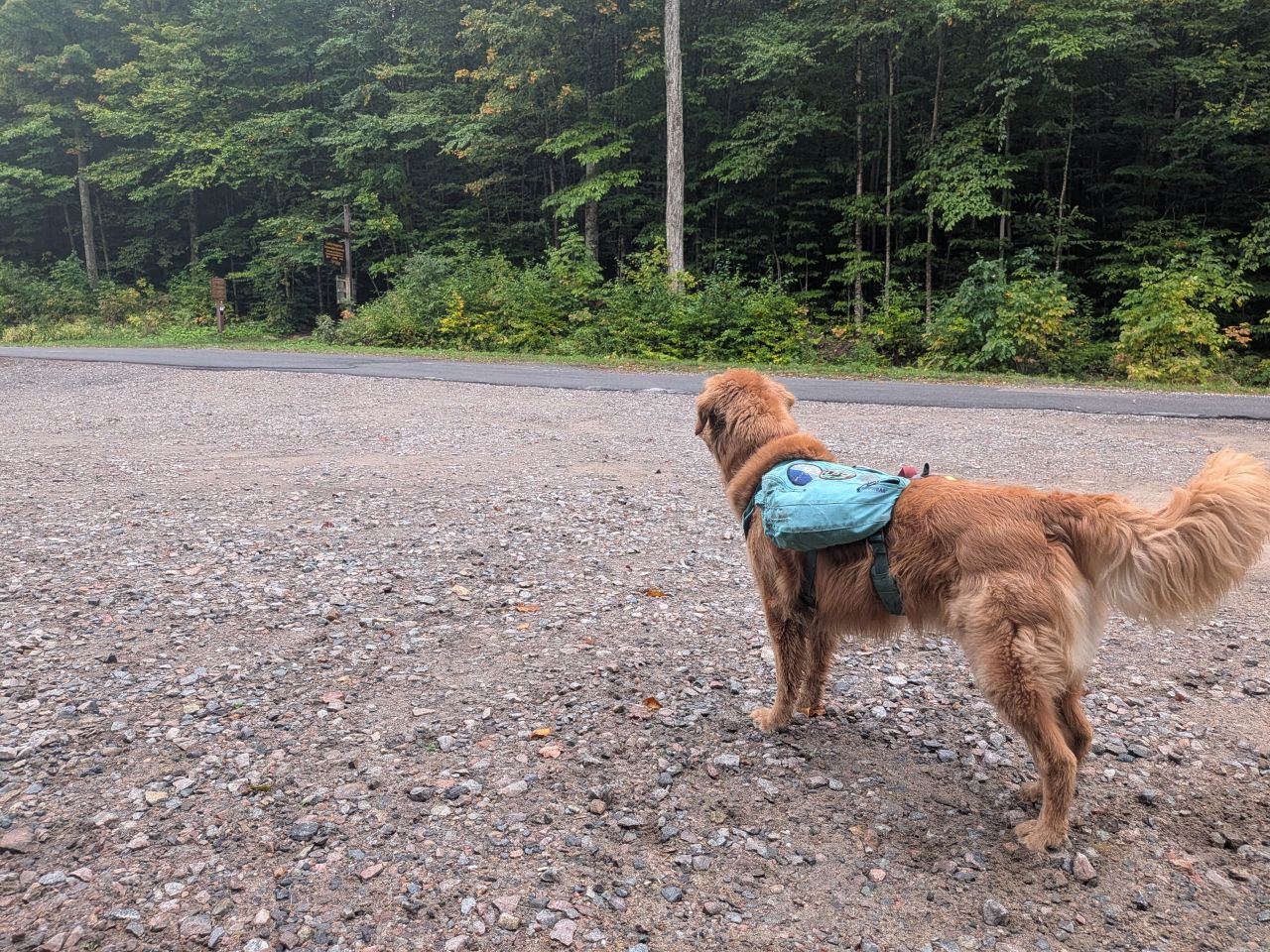
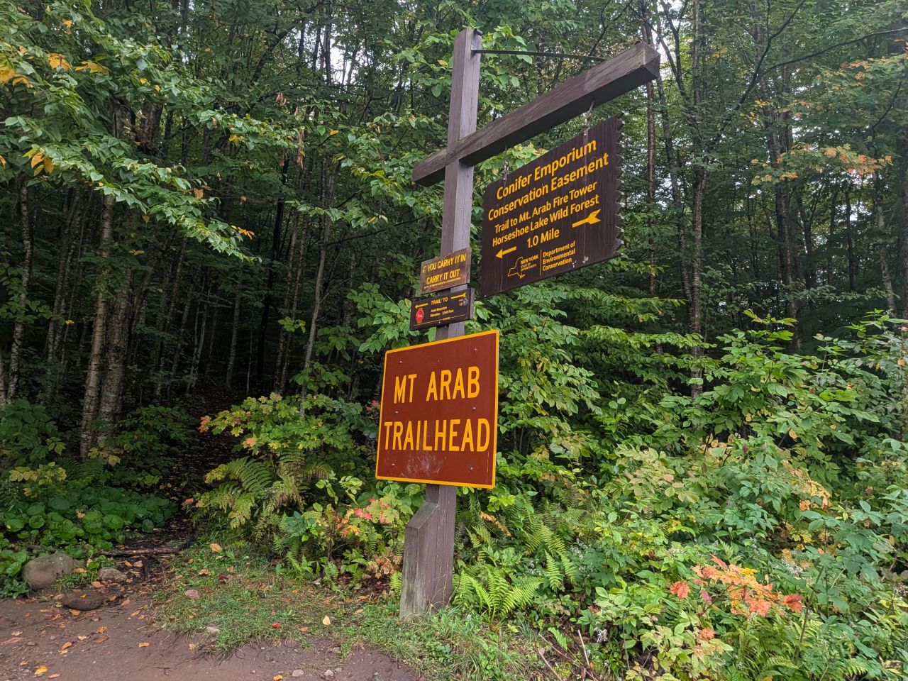
Arab is almost 3 hours from Clifton Park, so we got started around 8:40am. The day was overcast, but we were in a good mood. One group had started ahead of us and they were dog lovers so I just let Sunny go for this hike.
I'd left my trekking poles on the trash bin at home, so I picked up a stick to use for the ascent.
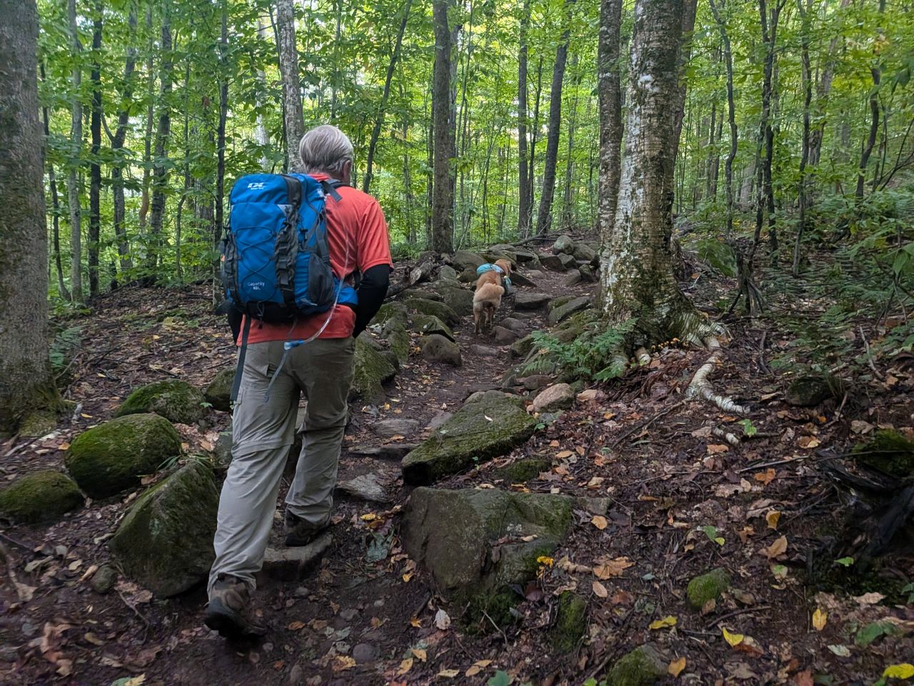
The climbing starts right away, but the terrain is fairly tame. I was huffing and puffing, largely because it's been a bit of a light month of activity since the MacIntyre hike. The good news is that I've lost 5 pounds this summer regardless, so that's something.
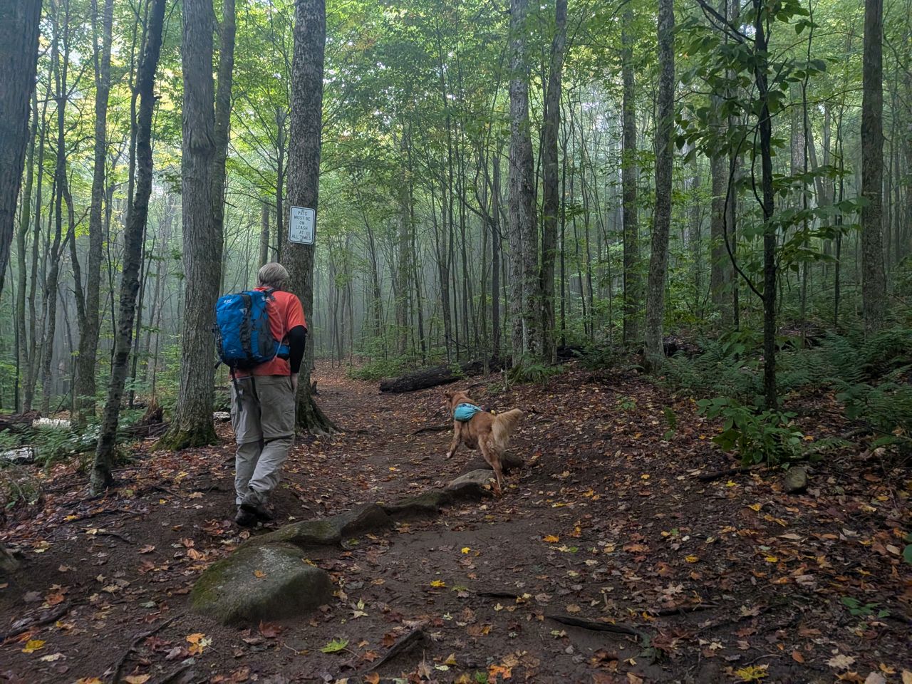
We did pass the family on our ascent and Sunny got lots of pets. Again, I felt like we were fine to let Sunny go considering everyone on-trail were kindred spirits.
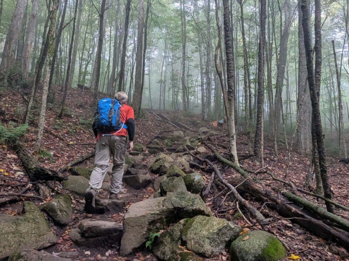
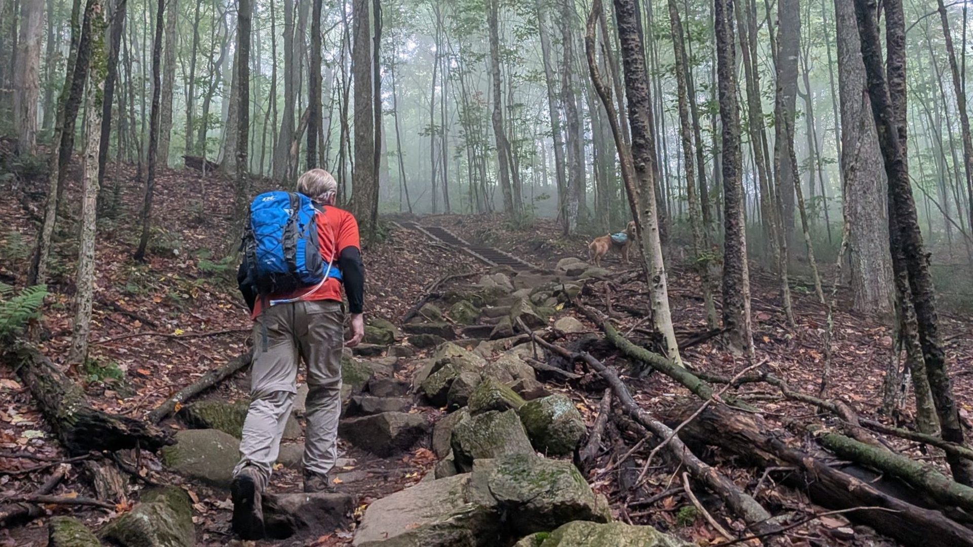
The trail itself is extremely well-maintained, sometimes with stone steps and one long section of wood stairs. After a while, we started climbing through the clouds. We could tell by this point that we wouldn't be getting an inversion and the summit would probably be socked in. That was ok. It was a lovely and spooky hike.
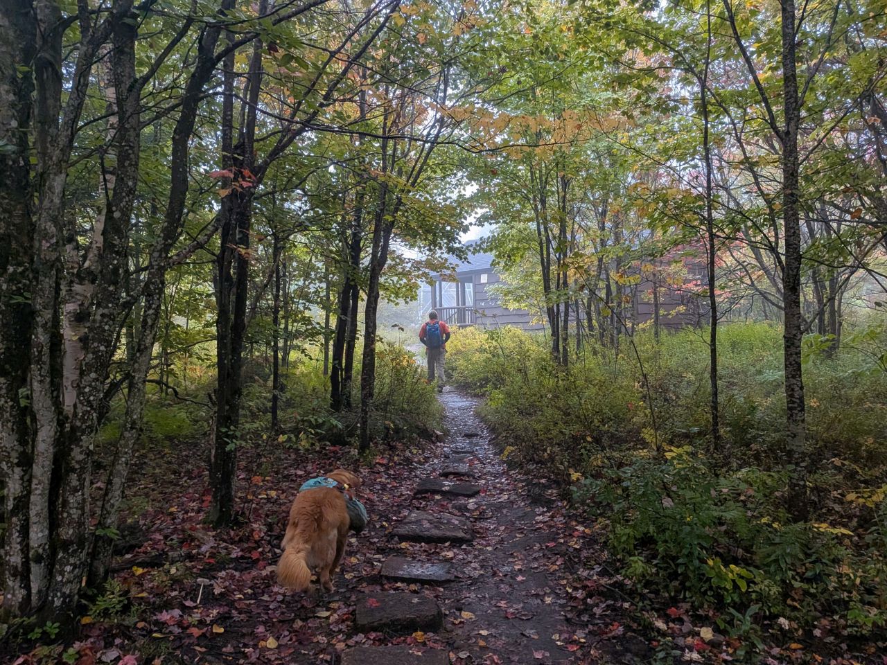
We reached the summit by 9:10am, thirty minutes after we'd started. The cabin at the top is in great shape thanks to the incredible volunteers.
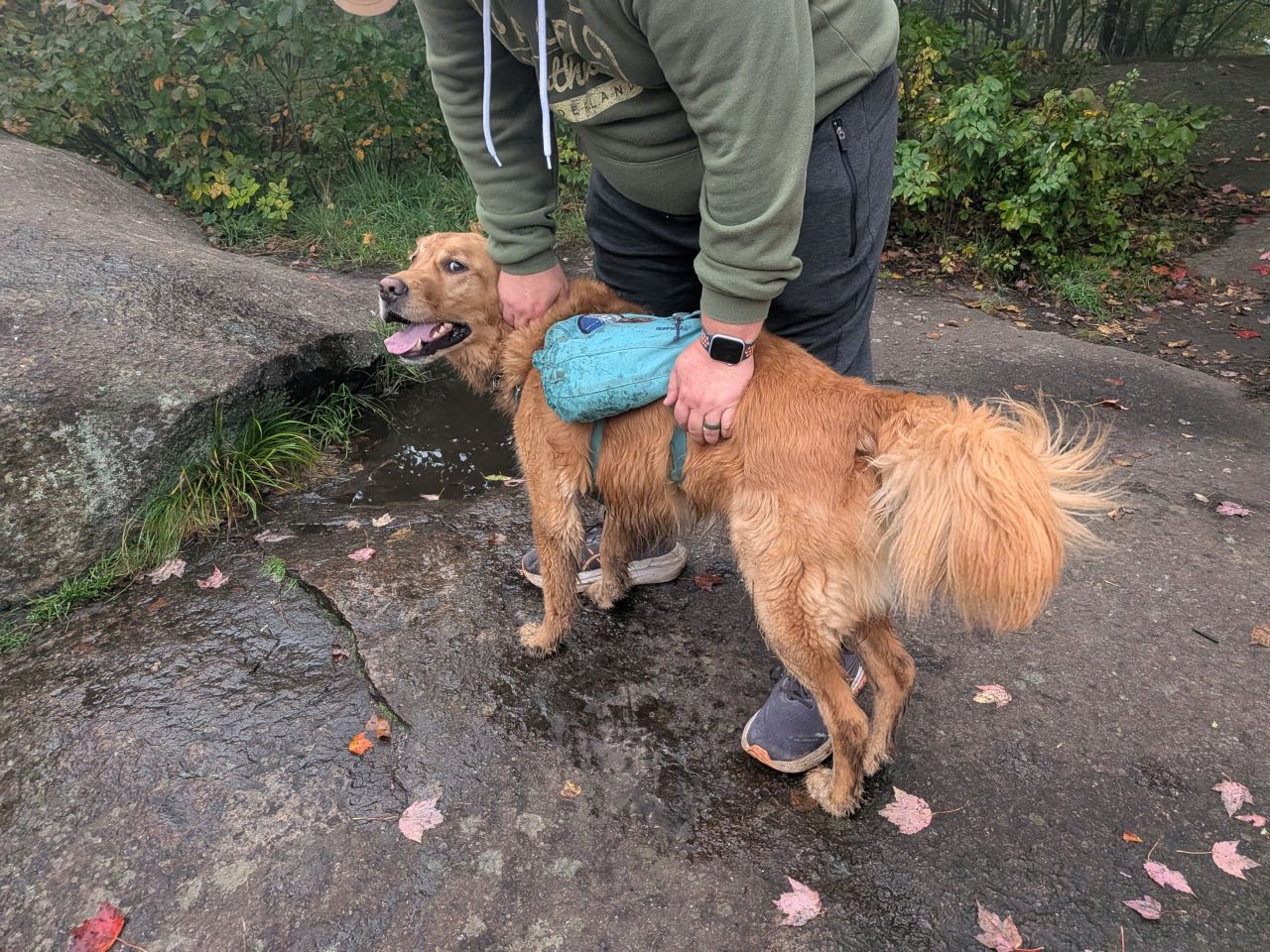
Sunny got lots more pets.
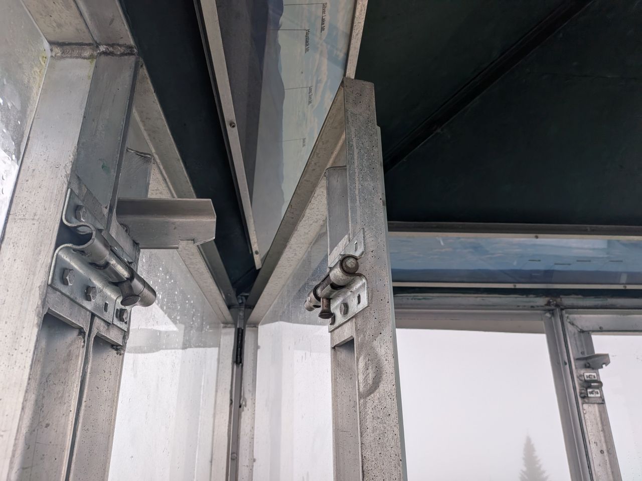
We took turns climbing the fire tower, also in incredible condition. The windows are intact on this one. What a lovely fire tower!
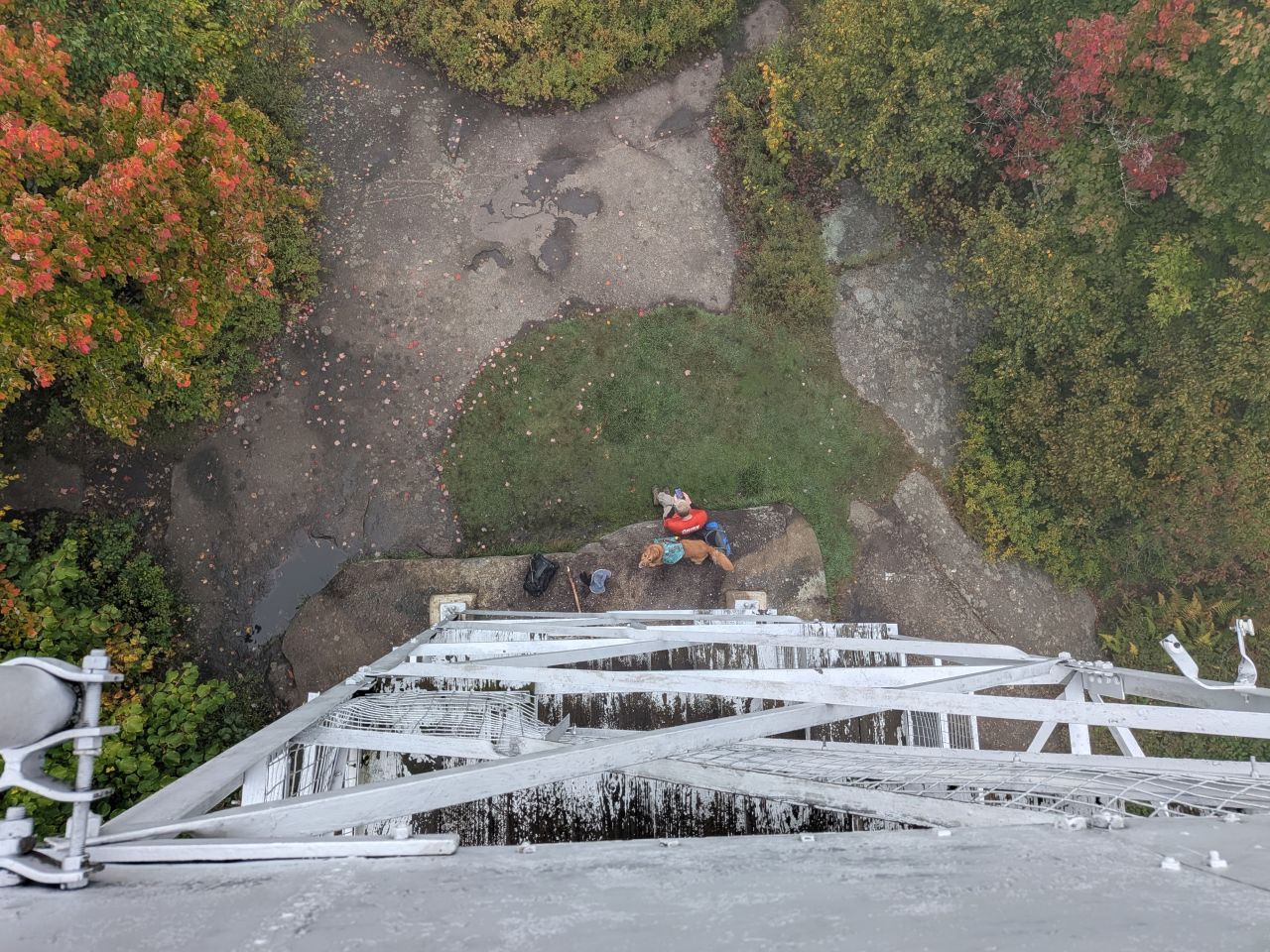
Dan helped Sunny wait patiently for me to return.
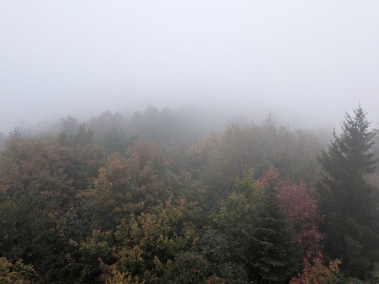
Our view was short and spooky. You can tell from this photo that we were hiking on a day that was about a week shy of peak foliage.
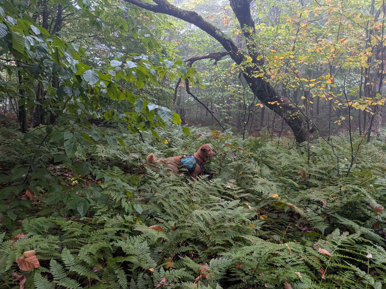
Sunny and I followed the trail past the summit. The map indicated a campsite out here and I wanted to see if it was the real deal.
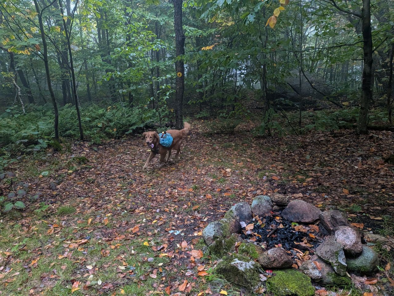
It turns out that, yes, there is a designated campsite out here with an extant fire ring. Dan and I agreed that this would be an excellent spot for a sunrise or a sunset.
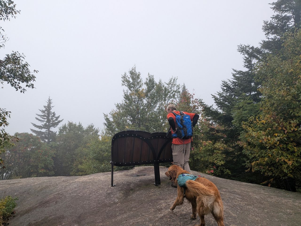
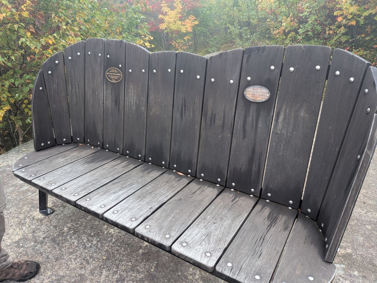
Before heading back down to the car, we wandered over to the true summit (or at least the USGS marker) where there's a really cool bench. I'm sure the view here is incredible on a less foggy day.
We started back down around 9:30 and were back at the trailhead by 10am. I had Sunny leashed most of the way down because I figured more people would be coming up and I was right. By the time we reached the car, the sun was starting to peek out. It was a little disappointing, but I'm sure I'll be back here with Quinn someday.
We packed up and headed to Ray Brook to climb Scarface.
Route Map
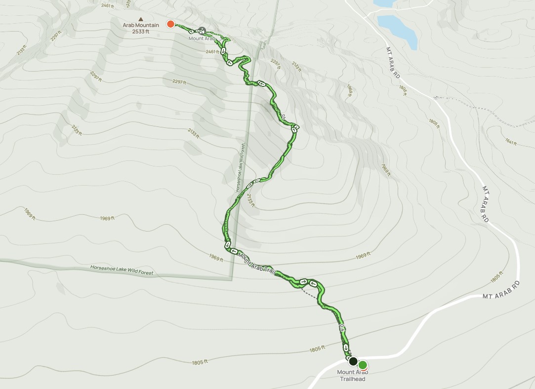
Morning_hike_at_Mount_Arab_Trail.gpx (133.94 KB)