
Sunny and I arrived at the Loj bright and early. The morning was crisp and a bit overcast. Sunny got lots of pets from other hikers. We also helped a few hikers find their correct trailheads. I remember the first time I'd come here and how confusing the maps were about where the register was. I think the ADK would do well to put up a sign or two directing people to the location down on Lot 1.
Nick and Stella arrived shortly after accompanied by Ben, Laura, and Steven. We greeted one another and chatted a bit about our plans before heading off.
Paths Well-Traveled
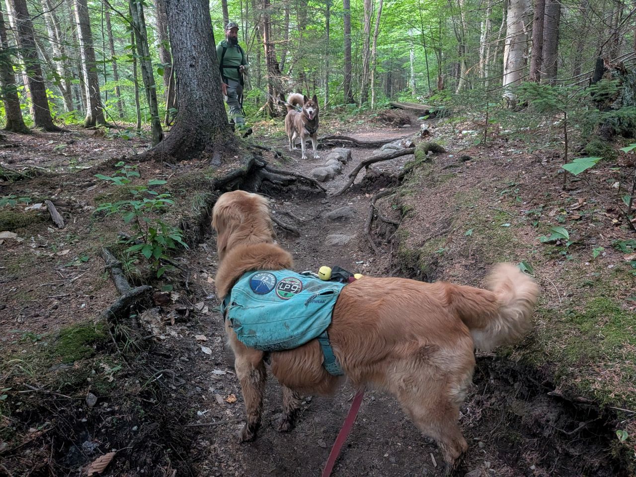
We were on the move by 6am. The Van Hovenberg trail was fast this morning. I won't go into too much detail about the first part of the hike since we've been up this way so many times, but I'll go over it briefly.
As usual, Sunny remained on leash for this portion of the hike.

By the time we arrived at Marcy Dam at around 6:50, the sun was burning off the less substantial clouds. We'd have a blissful partly cloudy with temps in the high 60s and 70s most of the day. The temperatures were comfortable, but the air would grow muggy as we progressed.

We made quick work of the lower section of Avalanche Pass Trail, hitting the junction in less than 30 minutes. Some recent social media posts by the Adirondack 46er Trail Crew have shown some really incredible progress on the rebuilding of the trail through the pass including rock work and new bridges. I'm looking forward to seeing it first hand.
The climb up to Lake Arnold from the junction was as much of a slog as ever, however I still marvel a bit at how much easier it is today than it was the first time I did it in 2022. I know that my legs and heart are better conditioned for the activity, but I still hold that hiking is at least 75% a mental challenge. At least in the non-Winter months.
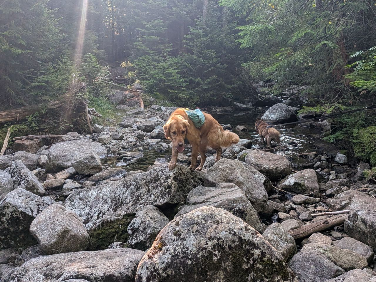
We took a quick break where the trail bends close to the brook (at the Lake Arnold Crossover junction). The pups and humans both took a drink, ate some snacks, and moved on.
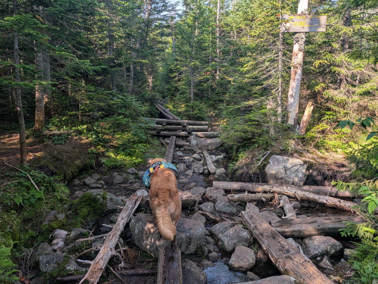
Sunny and I were lagging behind a little, but we hit the Lake Arnold camping area by 8:30, having taken us an hour to climb up from the Avalanche Pass junction including the break. It was at this point that we would be hiking a section of trail we'd never before seen. I was both intrigued and a bit nervous about the infamous floating logs section that was coming up.
Lake Arnold to Feldspar Crossing

As expected, the first portion of the trail resembled the trail prior... old boardwalks over wet terrain. Most of the boardwalks were in terrible condition up here which is unsurprising.
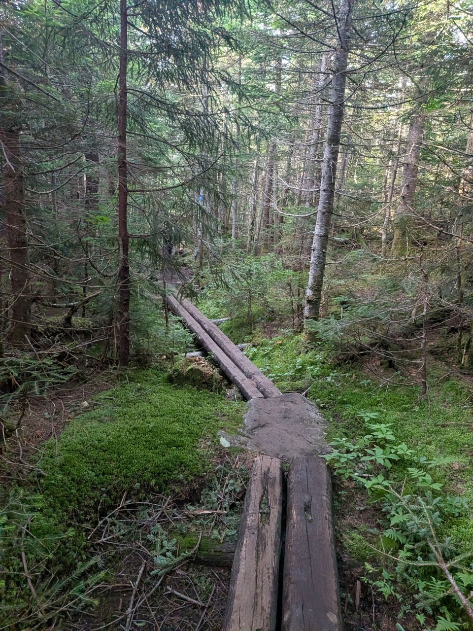
As the trail ascended to the summit of the pass, the terrain began to dry and the weathering on the boards was less pronounced.
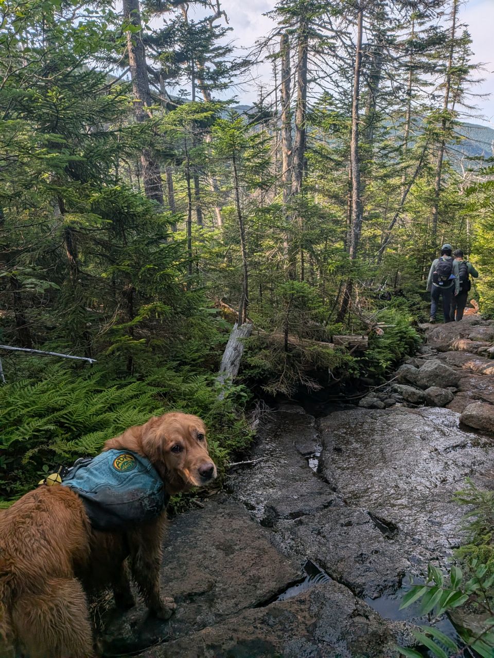
Soon we caught up with the others and we were crossing over rock and stone again. The trail was descending down at last.
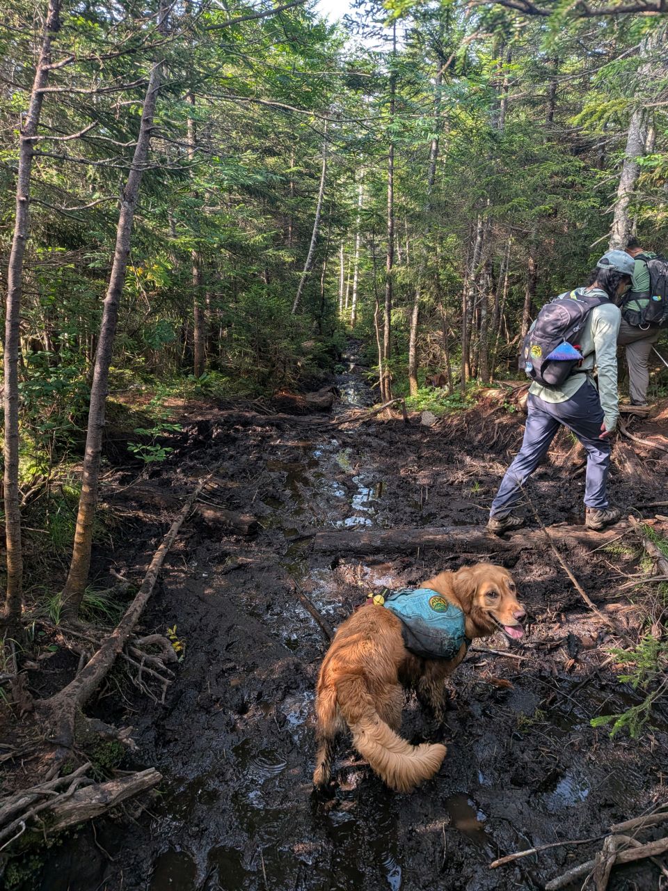
There are a few spots through the descent that feature muddy spots with no chance of drainage. These areas could use some serious rock work, although with conditions as dry as they were, I was able to keep my feet from sinking in the mud.

There is a lovely stretch of pine forest at the end of the descent from Lake Arnold that we all enjoyed quite a bit. The trail was firm and dry, the woods were cool and open, and we could see views of the mountains peeking through the tall, skinny trees. Sunny kept running between the members in our group, making sure everyone was accounted for. We did gather to take another quick break in the woods at a spot where the Opalescent and the trail meet before descending into the swamp.

We came to the floating logs at 9:15am. It was clear, however, that the dry conditions were certainly on our side. It would be no problem to cross at the main set of logs today. However, Sunny sniffed out a side trail to the right where it seemed most hikers had crossed recently. Indeed, someone had set up alternate logs and boards to cross over there. Nick commented that this is the route Charissa mentioned in a message the other day (she'd done Marcy, Grey, Skylight, and Colden on Friday).
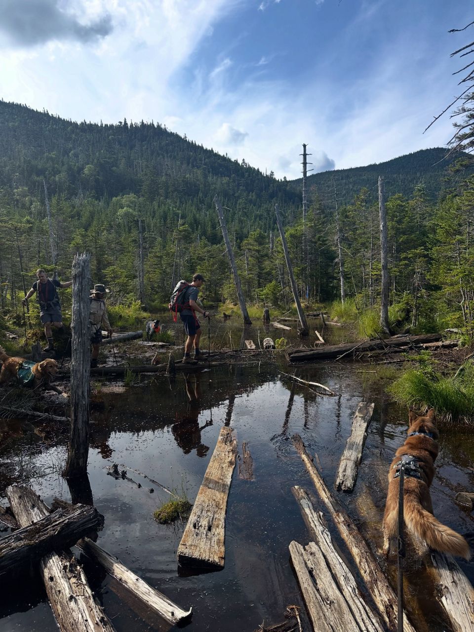
Nick, Stella, Laura and I crossed over to the right while Ben, Steven, and Sunny took the center route. Nick was able to take this great photo of Ben and Steven crossing. This trail definitely needs some love.
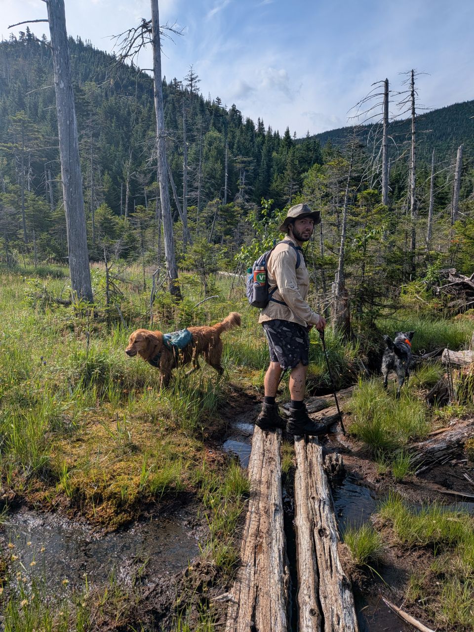
Steven seemed to always be in great spirits. It was hard not to be; it was a beautiful day even in a swamp!

This is Rosie. We crossed paths with her a few times on this hike. I said she was like Aunt Trixie, but her owner said she acted more like Muffin. She and Stella had a few words for each other on occasion, but overall we remained more or less cordial.
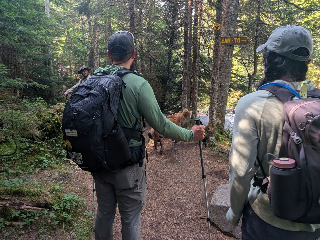
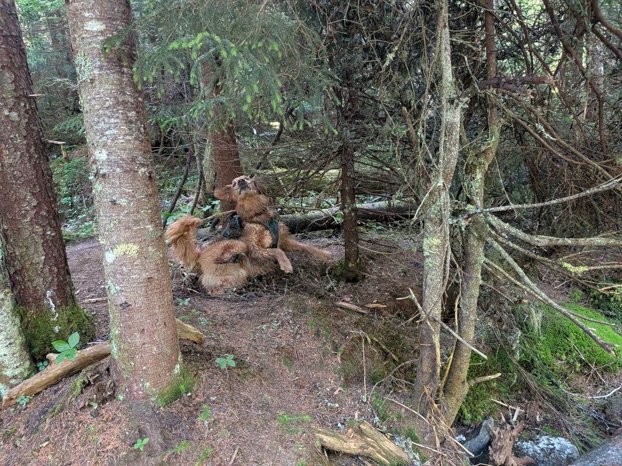
The Feldspar camping area seemed to sneak up on me. The others were keen to go, but I asked if we could have a quick stop to fill up water (including electrolytes) and everyone was kind enough to oblige. The day was shaping up to be quite beautiful and we were making good time. It had only taken us just under an hour to hike here from Lake Arnold, over a mile and a half of quite rough terrain.
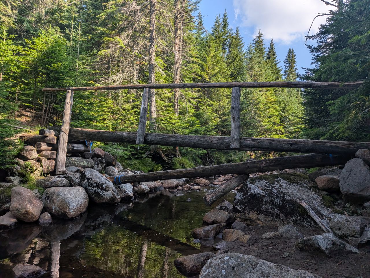
Interestingly it seemed as if someone had flagged and sawed one of the logs crossing the Opalescent to Feldspar Lean-to. The log looked to be in pretty bad shape and I guessed that the log had been cut as a safety measure, avoiding someone breaking it while crossing.
#45
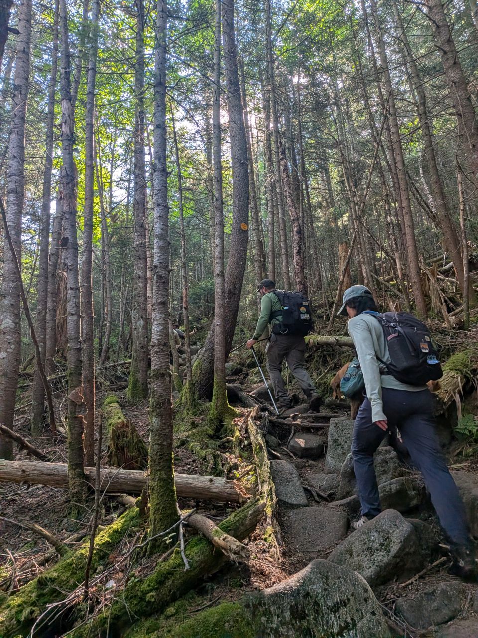
The climb up to Lake Tear is still the mettle-tester of this hike. If you don't recall, the main climb is 1000' over the course of a mile. It is steady, steep, and relentless. The climb was definitely one of those where we would tackle 100', stop, take a sip of water, and repeat. Sweat was pouring down my face despite the cool temperatures. The entire hike up I was looking forward to (hoping for) the breeze coming across Lake Tear of the Clouds -- or at least at the summit of Grey.
I did misjudge the length of the climb a few times, but we still finished the climb in about 45 minutes. We were, in fact, greeted by a lovely breeze off Lake Tear and took a quick break at the boulder marking the herd path up Grey. Here, we enjoyed a quick break. Nick considered taking some "highest source of the Hudson" water home with him while I considered going to the thunderbox down the trail instead of hiking Grey. In the end, we both reconsidered.
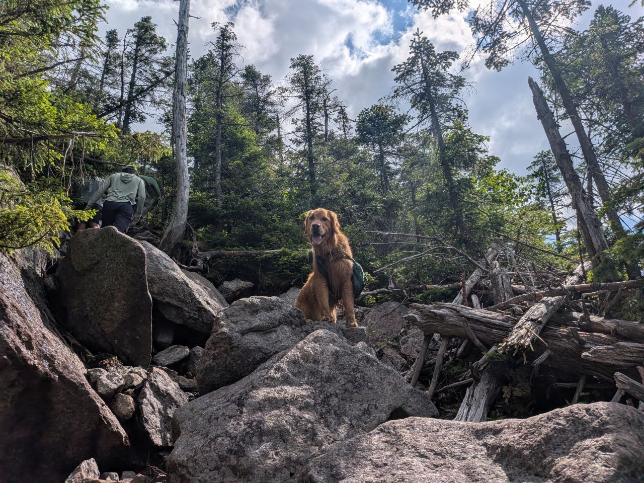
Grey is actually the steeper of the three peaks over here in the Marcy Group; it's just short. We scaled the 0.3 mile up Grey in about 40 minutes or so. I don't have a ton of pictures from this since it's old news, but it felt quick.
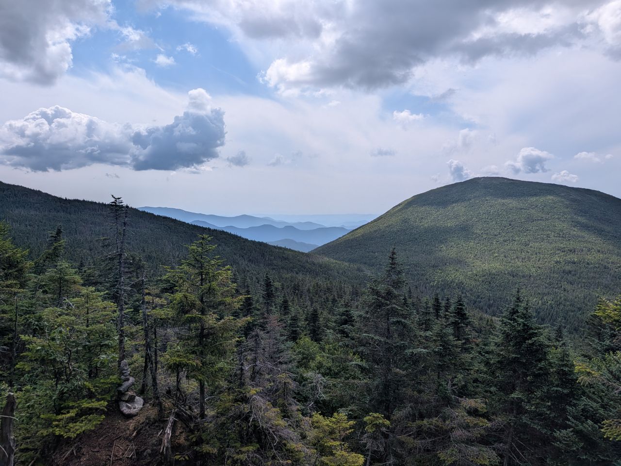
We had lovely views of Skylight as we climbed.
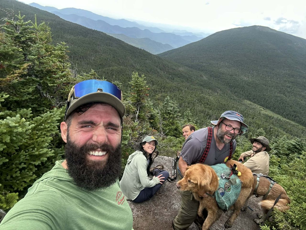
Nick caught this shot of the group lounging on the overlook.
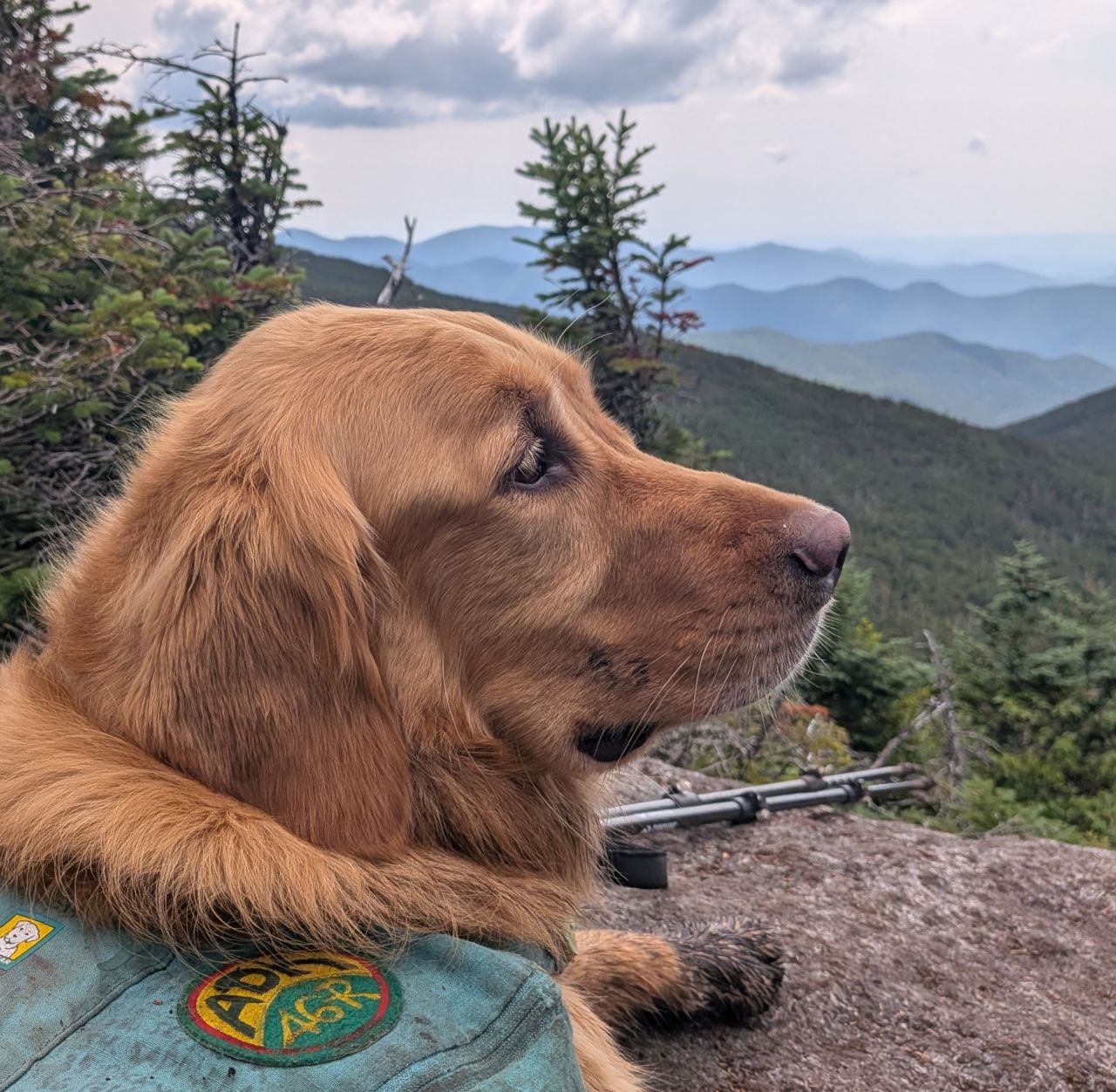
Nick and Laura walked the 20' over for a photo at the summit sign. Sunny and I decided to be lazy.
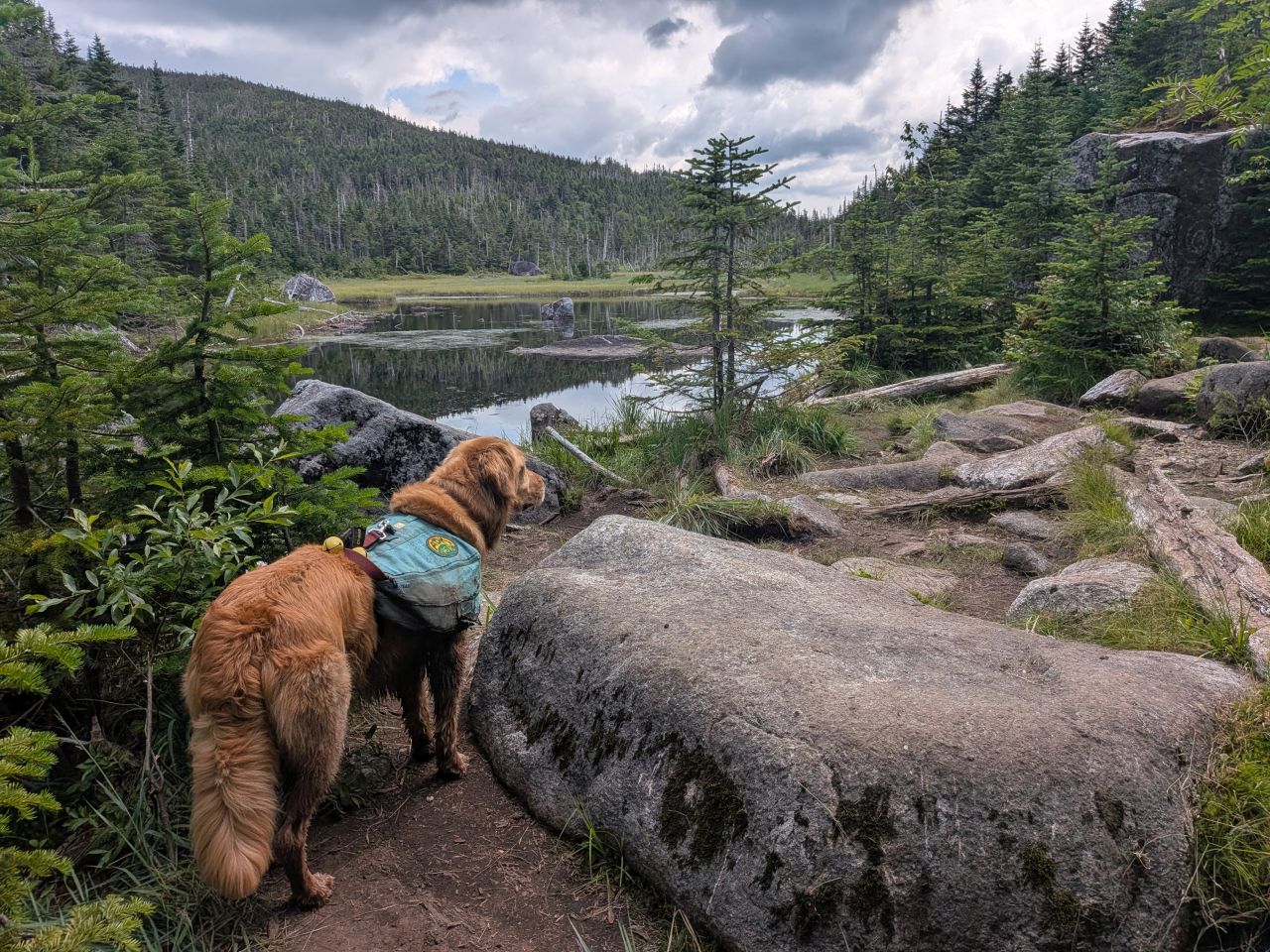
We descended the mountain in about 30 minutes. While the group took a break at the junction, Sunny and I ran for the thunderbox at the four corners. It was a bit more uppy-downy than I remembered, but we zipped over quickly due to the necessity of the situation. The rest of the group joined us at the junction shortly after.
#46

We chewed up the elevation to Nick and Stella's 46th High Peak with gusto. We did stop a few times to catch our breath and enjoy the views of Marcy in the distance. Skylight is such a lovely hike.
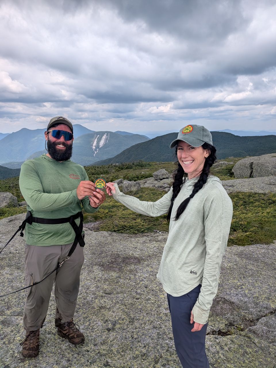
We achieved the summit at 12:30, six and a half hours, 10 miles, and 5000' of gain after we'd started. Laura, who'd been with Nick on over 23 High Peaks summits, awarded him the patch off her own bag. It was a cool moment.
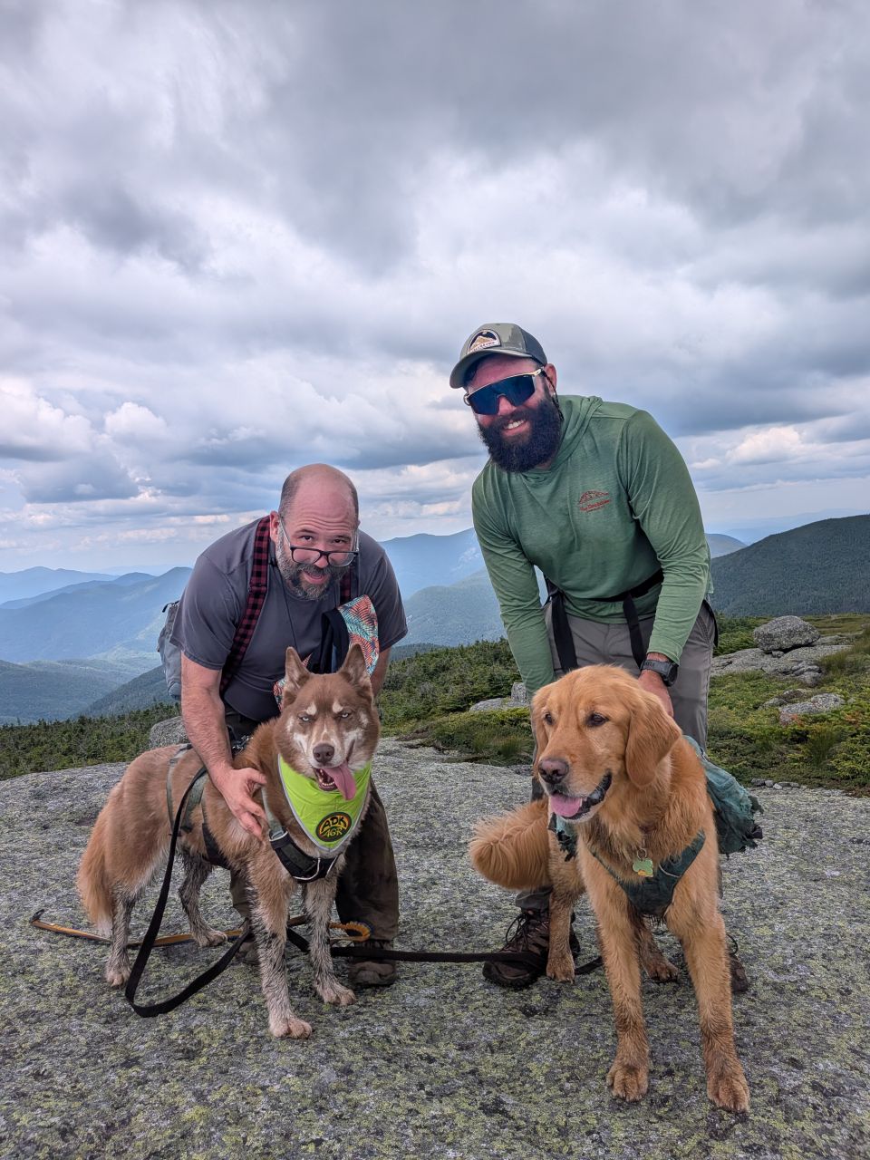
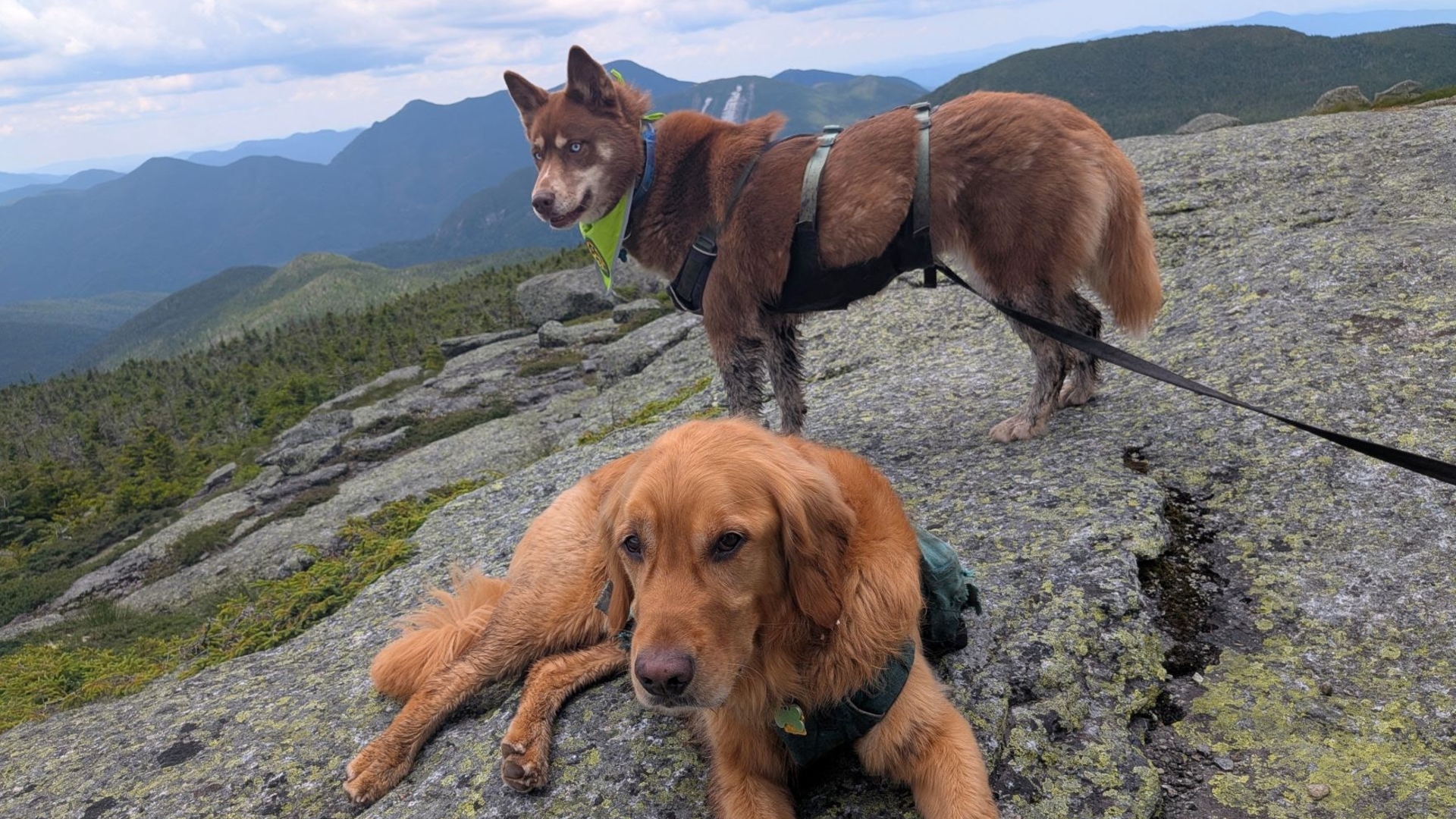
Sunny, who'd joined Stella on several High Peaks adventures, awarded her patch. Laura held a lot of treatos in her hands in order for us to achieve this photo.
We couldn't have asked for better weather at the summit. As a meteorologist who often works in the White Mountains, Ben was partially credited with this. Sunny was, of course, also given honorable mention.
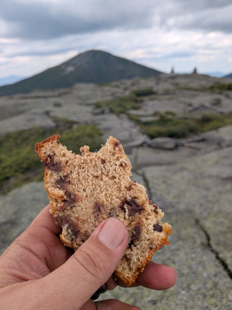
We tarried at the summit and enjoyed the moment for a little over half an hour. Ben had made a loaf of banana bread for the summit and it was delicious... spongy and moist. It really hit the spot. So did Nick's Yukon Jack and the IPA I'd brought.
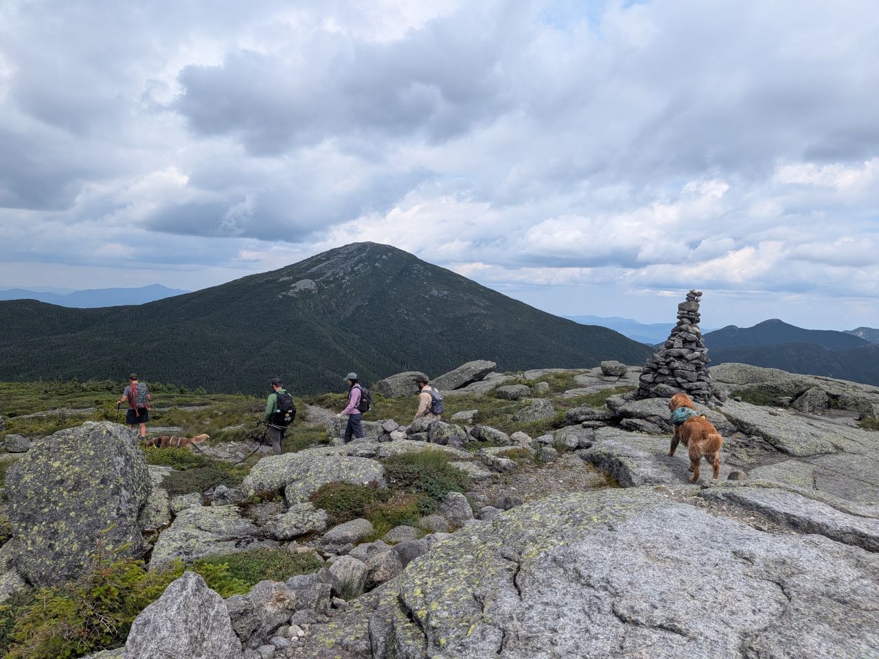
There was a brief discussion about the path to take home. It would be farther and less elevation (about 400' to get over Lake Arnold) if we went back the way we came. It would be shorter with more elevation gain to go over Marcy (about 800'). However, we all knew that the trail down the other side of Marcy was much drier and way more forgiving.
Also, Marcy is a great summit regardless. Nick said that he was keen to follow the same approach his brother, Chris, did on the day he climbed his 46th peak. The idea of getting up there and being able to visually account for every mountain he'd hiked to get to this point was appealing.
I think the decision was unanimous that the extra elevation to get over Marcy would be worth it.
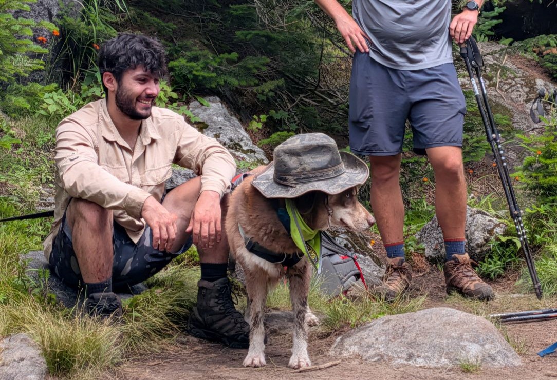
We were back at the four corners about twenty minutes later. Stella tried on Steven's hat and I think she really pulled it off.
Marcy and Fresh Views on the Van Ho Trail

I was really feeling the burn on the climb up Marcy. It helps that the trail is so pretty with incredible views West, South, and East. It was also pretty nice that a cranky, little raincloud passed through about that time and protected us from the sun as we crossed over the exposed granite that makes up the top of Marcy.
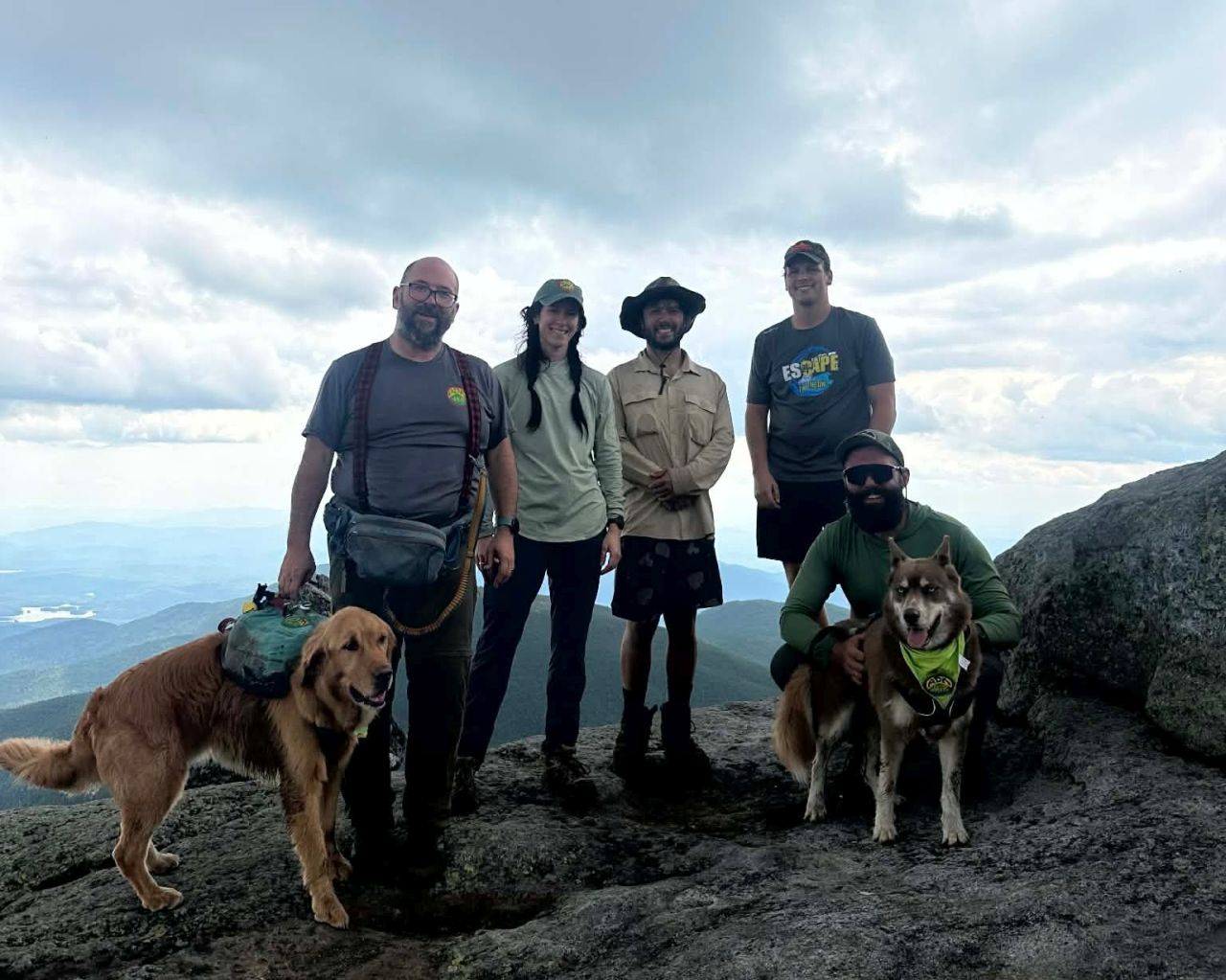
The summit steward was kind enough to take our group photo with Skylight in the background. I was starting to feel the effort of the day, but I was in good spirits, especially with the prospect of new trail ahead of us. I ate and drank some more before we headed off.
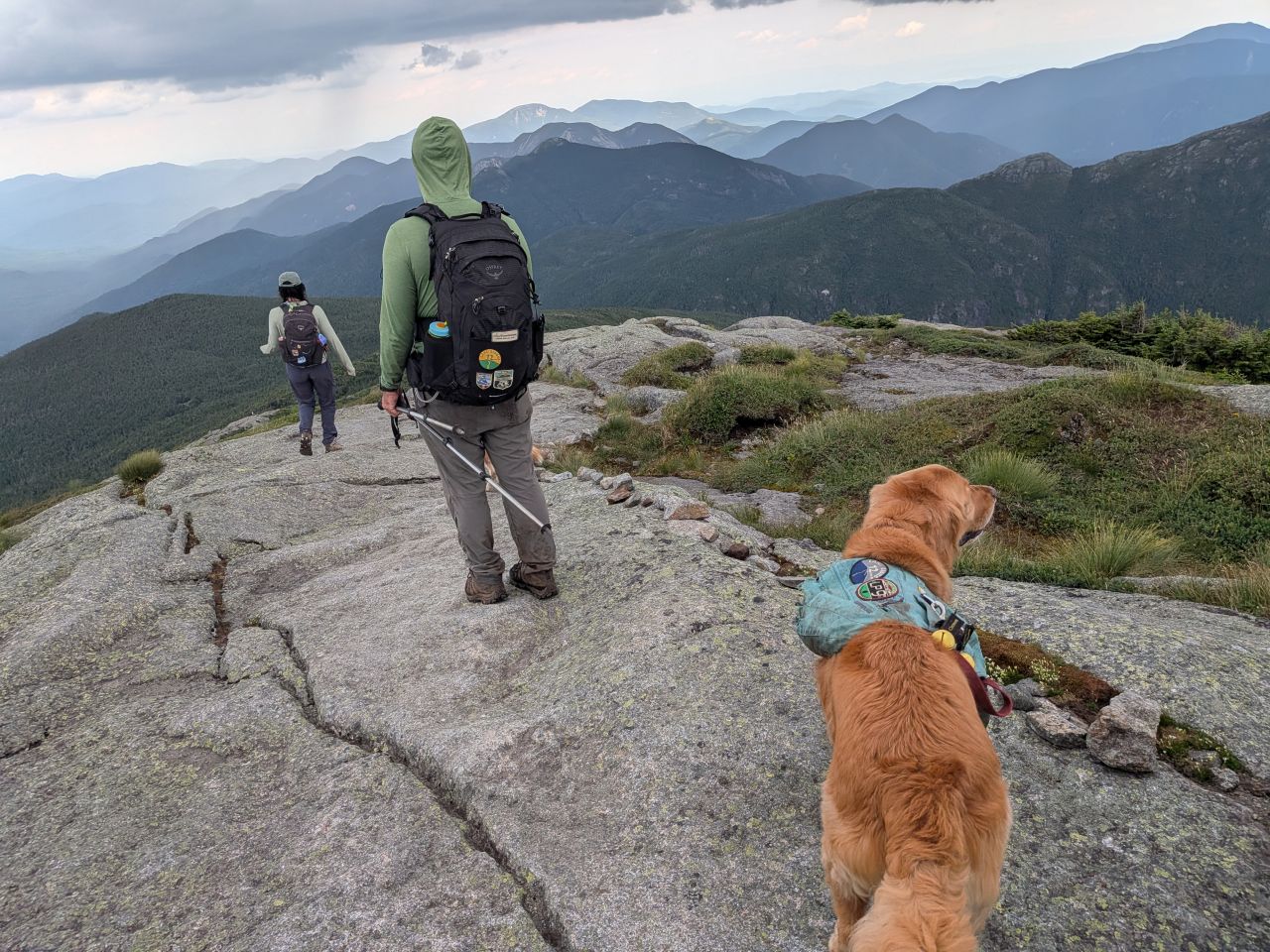
I caught a photo of Nick surveying all the mountains he'd climbed to get here.
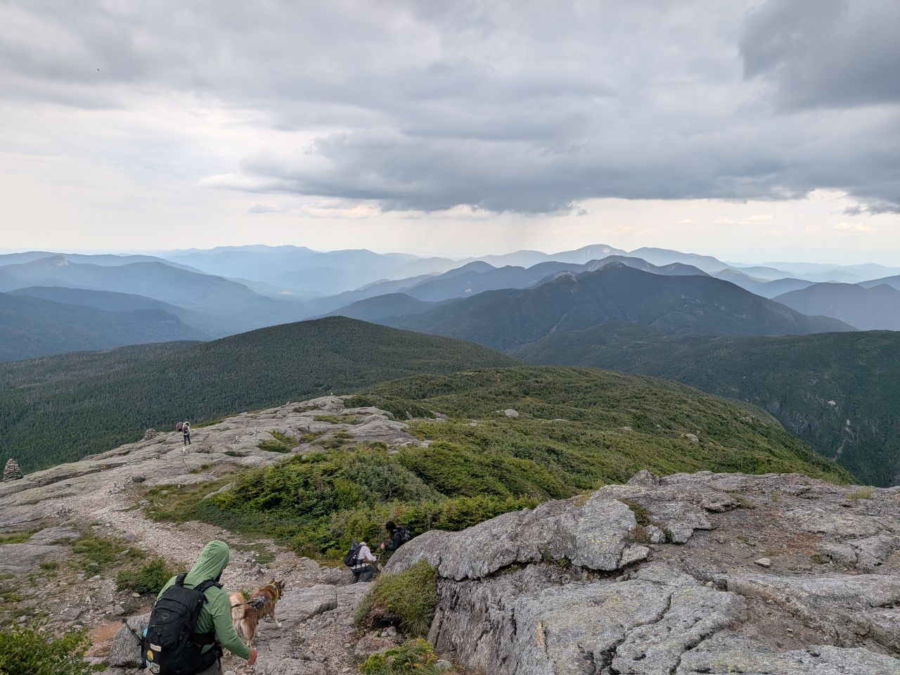
This isn't a particularly well-framed shot, but I thought it was awesome enough to share. The descent on Marcy's North side is incredible. I bet this is a hell of a lot of fun in the Winter and I actually think it's probably fairly doable.
Although this was the first time I'd been on this side of Marcy, the rest of the group had done this out-and-back before. They felt like ascending from the South and descending from the North was a pretty great way to tackle the mountain. Nick said that the hike up Marcy from the North can feel like forever because you can see the summit in the distance for a while before finally getting there.
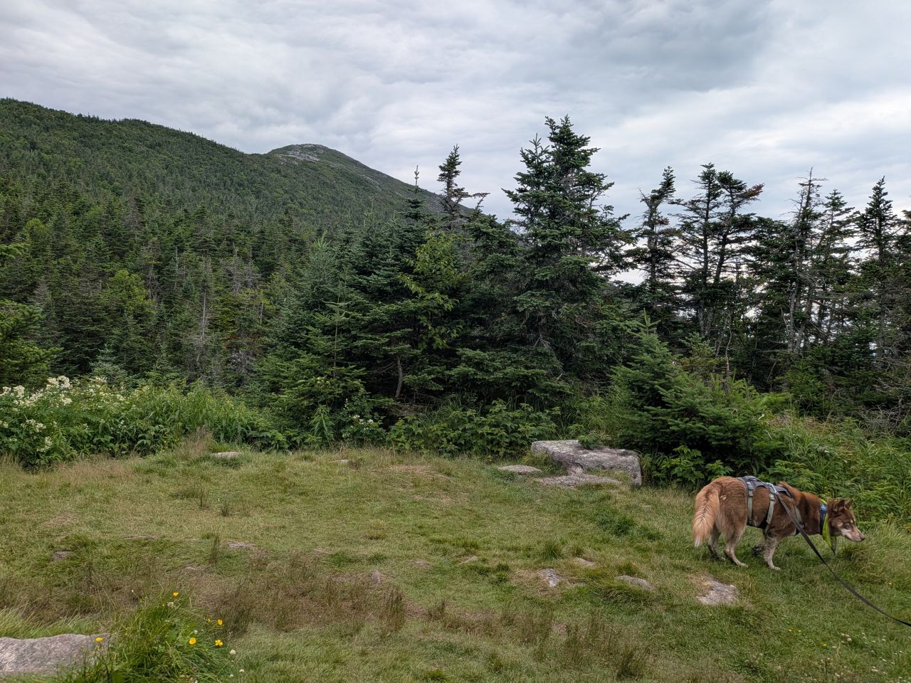
Both Sunny and Stella were intrigued by this little meadow. It was clearly too close to the trail for camping, but I was surprised I didn't see a red "no camping" disc here.
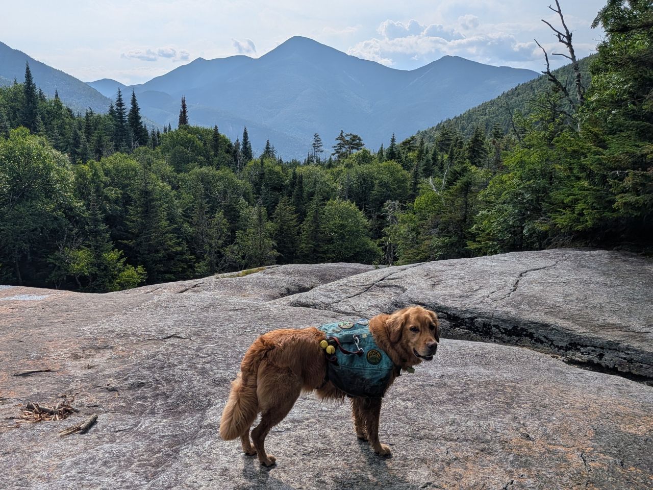
I was moving pretty fast down the trail to Indian Falls. I'm not sure if the Tylenol washed down with an IPA had anything to do with that or not. Narrator: "It did."
We made it to Indian Falls at around 4:25pm, exactly two and a half hours after we'd left the summit of Marcy. Earlier I'd wondered if we would be at this location around sundown and I think that may have concerned everyone a bit, but I've learned my sense of time is kind of garbage sometimes.
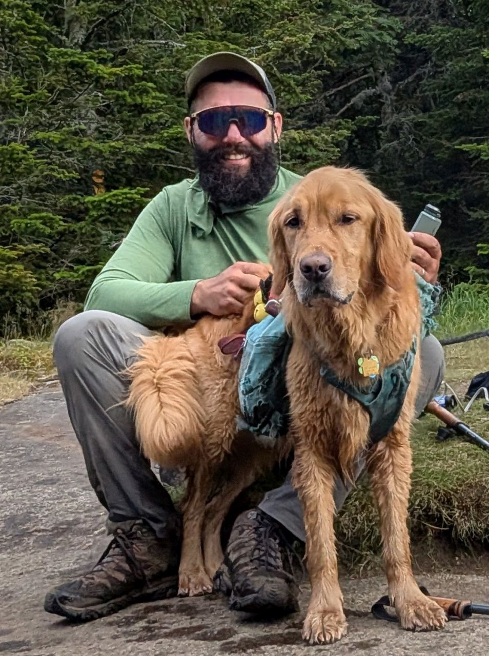
We hung out there for a while, taking an extended rest, eating more snacks, and refilling our water. The views today were incredible, if a bit hazy. For many of us, this is one of our favorite spots in the park.
While we were there, a group of three teenagers asked us if we thought the water going over the falls was good to drink. They'd run out of water. Naturally, alarm bells went off in our heads. I asked them if they were heading down or heading up. They were heading up. To Marcy. The alarm bells turned into klaxons.
We filtered some water for them and gave them some electrolyte packets. As we were leaving, I told them if they ran out of water again that they should drink from the stream anyways. At that point, Nick remembered that he had a spare filter to give them and he did. Later, I realized I should have asked them if they had a headlamp and given them one if not. Laura pointed out that the summit steward was still up there and would certainly come across them on the way down if they didn't turn back on their own. This made us feel a lot better.
One more long walk down the Van Ho

I definitely slowed down on our hike down from Indian Falls. I was pretty grateful when I came across a family (who had climbed Phelps) wanted to pet Sunny! Although the trail was rocky as usual, I was super glad we'd gone this way rather than Lake Arnold Trail again. It had been much more pleasant!
Just as the terrain leveled out, I re-leashed Sunny and immediately came across a pair of rangers, one of whom was one of the rangers I'd met on Indian Pass last weekend. We chatted amicably and once again they graciously thanked me for the work I was doing.
We took a short break at Marcy Dam where Sunny got even more pets from the gathered hikers. I told everyone the hike out was always bad for me and feel free to go ahead and enjoy the trailhead if they wanted. Nick and Laura still followed Sunny and me out which was nice.
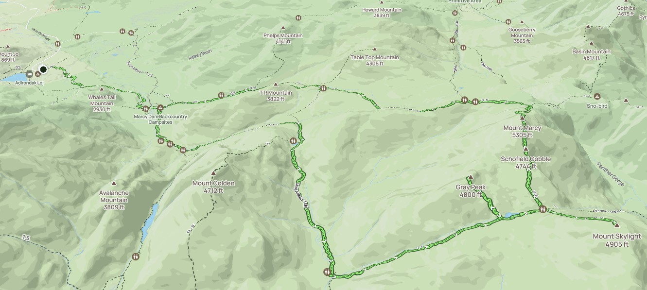
Still, we hiked the 2 and a quarter miles from Marcy Dam to the Loj in about an hour and I thought that was pretty good. All told, the entire 18 mile, 5000' hike took about exactly 13 hours. Most importantly we'd arrived in time for me to order a burger at the Hungry Hiker for Sunny and me (they close down the grill at 7:15).
We all relaxed on the Loj's patio with our snacks and a High Peaks IPA that Nick purchased for us.
I must say that I had a great time today. It was quite challenging, but manageably so. I can't believe that four years ago I'd come to the conclusion that I'd never hike more than ten miles a day. It's laughable now that I think of it. Now, sixteen to eighteen miles in ten to thirteen hours is just a pretty good day.
Nick's friends were all very welcoming to Sunny and me. They're pretty athletic hikers. Laura is a trail runner. Ben does triathlons. Steven is a 4-season 46er. Still, nobody ever made me feel less than. I really appreciate that.
I thought it would be funny to compare steps. The taller fellas had about 27,000 each. Laura had over 50,000. I had 33,000. Little legs!
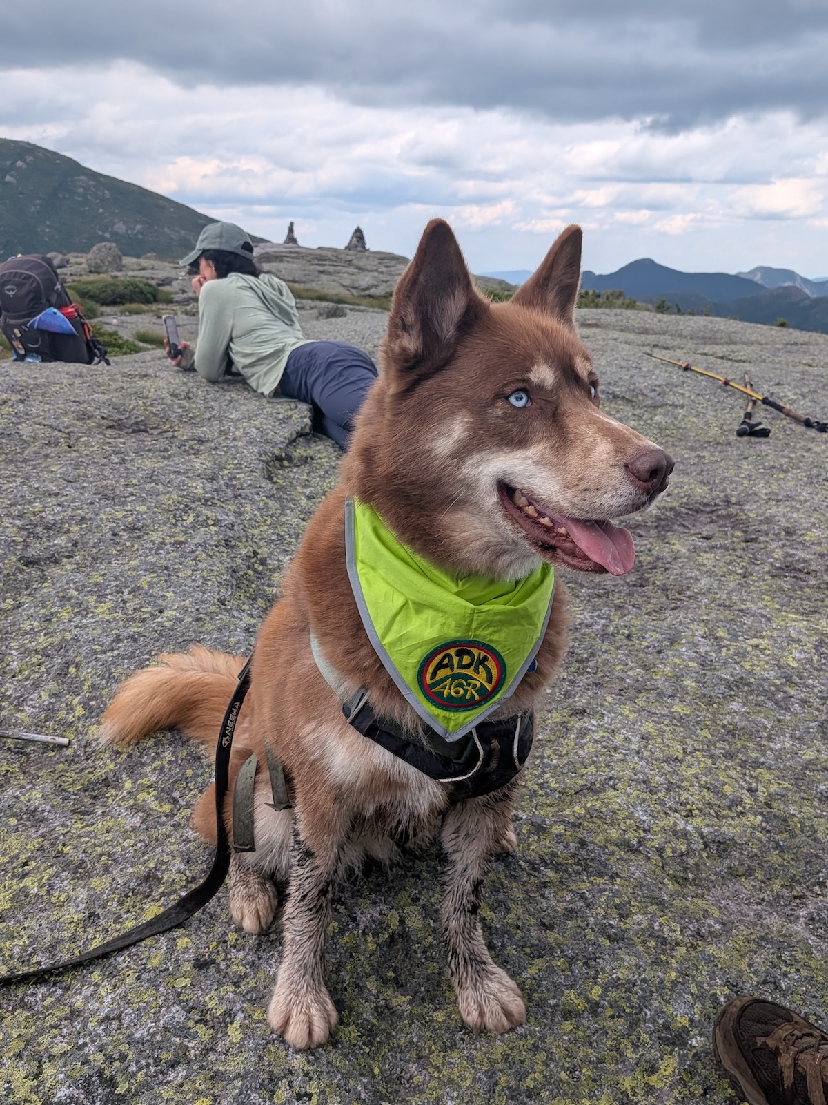
Congratulations again to Nick and Stella. I'm looking forward to seeing your very different adventures unfold in the coming months and I'll be around to join you for more fun in the mountains when you're ready.
Sunny and I have plans to do at least one more really big hike this Summer before our Maine vacation as long as the weather holds. After that, we'll have Erica coming for some mountain hiking and then Charissa's 46er.
Route Map