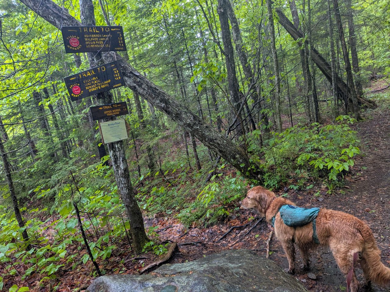
I met two people at the trailhead. The first was a man with his canoe, heading for Henderson Lake. The second was a young man in search of a water spigot so he could fill up before hiking Allen. I told him I didn't think there was a spigot. There are lots of them in the Catskills, but few and far between in the Adirondacks. I assured him there was plenty of water on that trail but he went down to the Hudson to fill anyways.
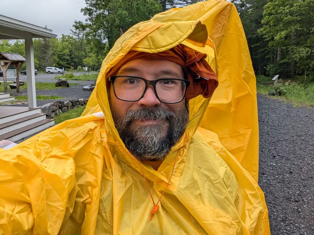
We were on the trail by 7:50am and the sprinkle had turned to a light drizzle. I was glad to have the poncho with extra material in the back designed to cover a large pack.
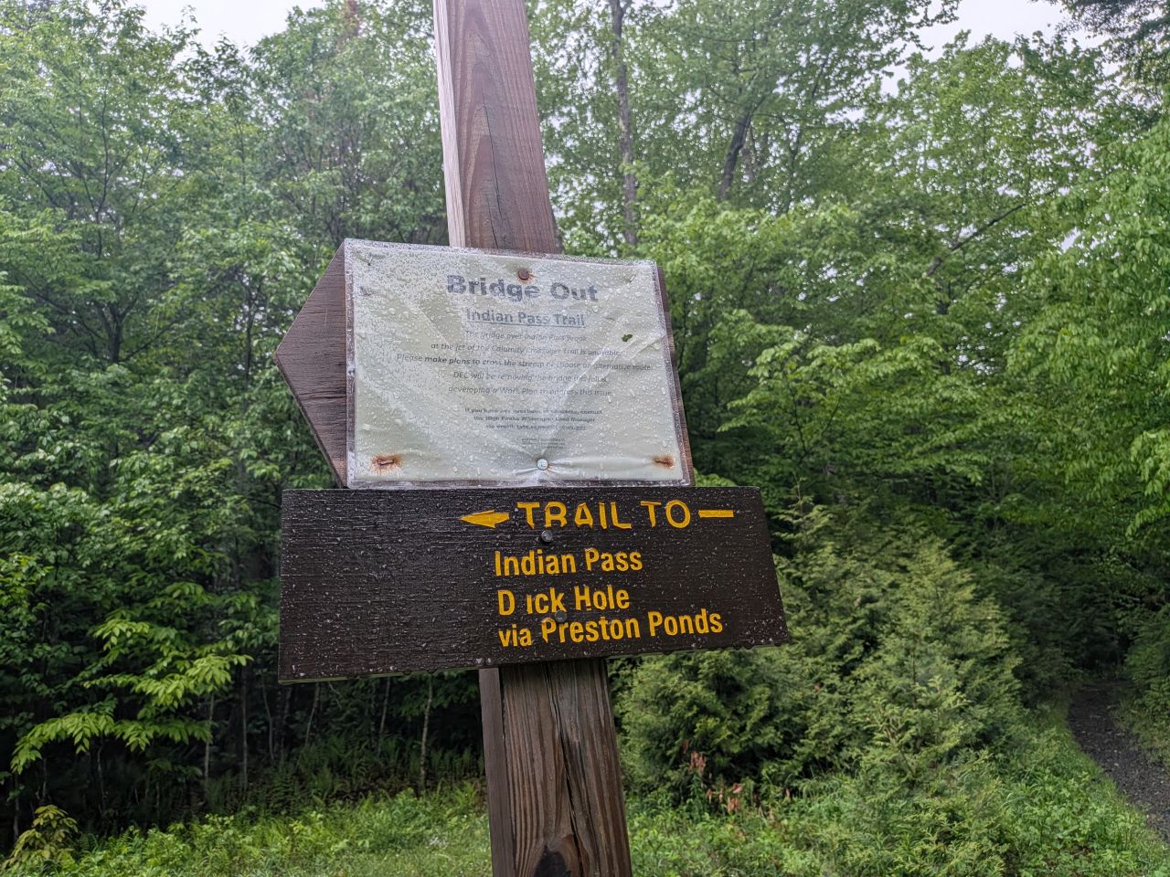
"Dick Hole"
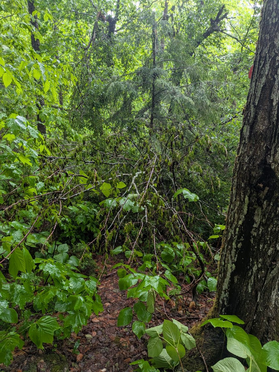
This log technically represents "easy under" but it was diverting people off the actual path and it forced people with overnight bags to duck. I also wondered about Dan's criteria of "what if I was carrying a rescue litter". As such, I took 25 minutes to chop through it so folks could walk through normally. When we have more people in our party, we can move both halves farther off trail.
My big mistake here was that I decided not to put my poncho back on after cutting through this log. I figured I was already wet and didn't have anything to protect in my bag that wasn't already wrapped in plastic. However, I got chilly and the bag became quite heavy as it got waterlogged. I've been fair-weather and winter hiking so long that I basically had to re-learn how one should hike in the rain.
Shortly after that, I was crossing one of the few well-designed crossings on this trail when my left leg slipped on a log and went straight into the hole. My body, along with my who-knows-how-many-pounds heavy bag continued forward. I tried leaning back to avoid injury and went down. I managed to pull myself up. My knee was a little sore but nothing major. After this slip and a few I took during the Gothics hike, I'm starting to think it may actually be time for new boots. Wendy told me I should probably get new ones but I was determined to make these last another season. We'll see.
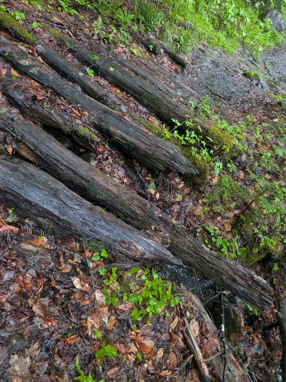
I did a little bit of maintenance on the drainages as we walked, but honestly the water was flowing through them rather well. We arrived at the Duck Hole junction by 9:20.
We noticed there were folks staying in the Henderson Lean-to and went up to say hello, but we heard a chorus of snoring, so we let them be.
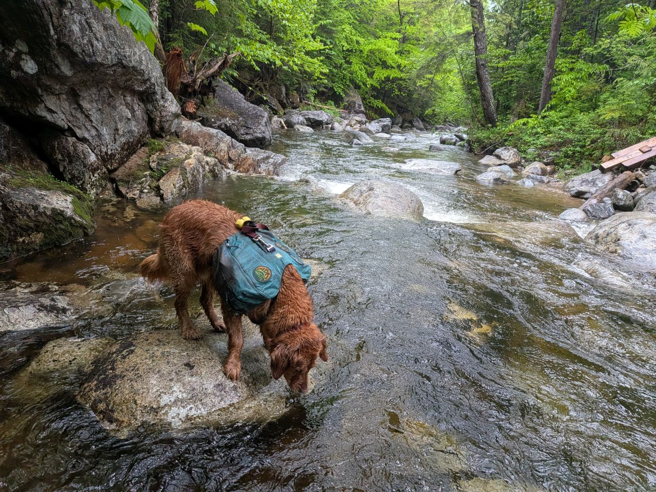
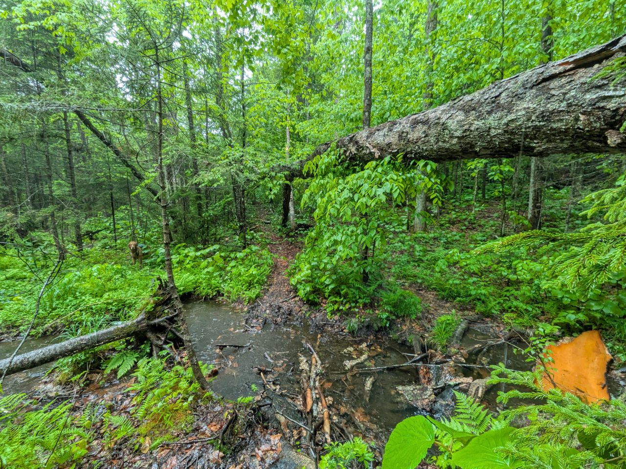
Indian Pass Brook was crossable, but about an inch or two higher than the last time we'd been here. We hiked a few yards upstream before crossing at a wide and shallow spot. I avoided getting my boots in the water which was a blessing, even with gaiters on.
After a lot more brush clearing, we eventually made it to Wallface Lean-to at around 10:50. Here I removed my shirt and squeezed it out before eating lunch. This time, I put my poncho back on and admonished myself for that silly decision to leave it off.
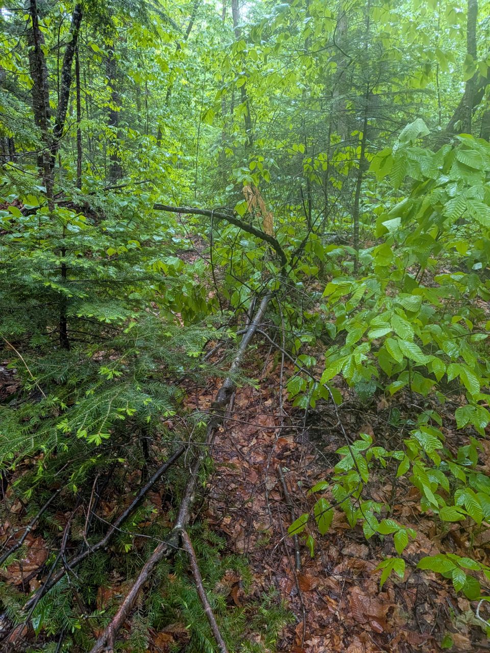
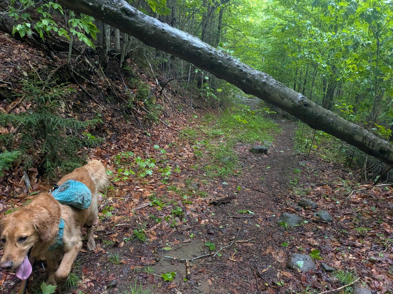
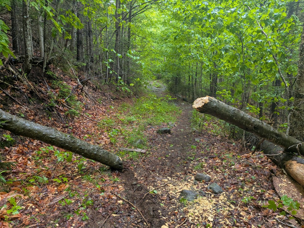
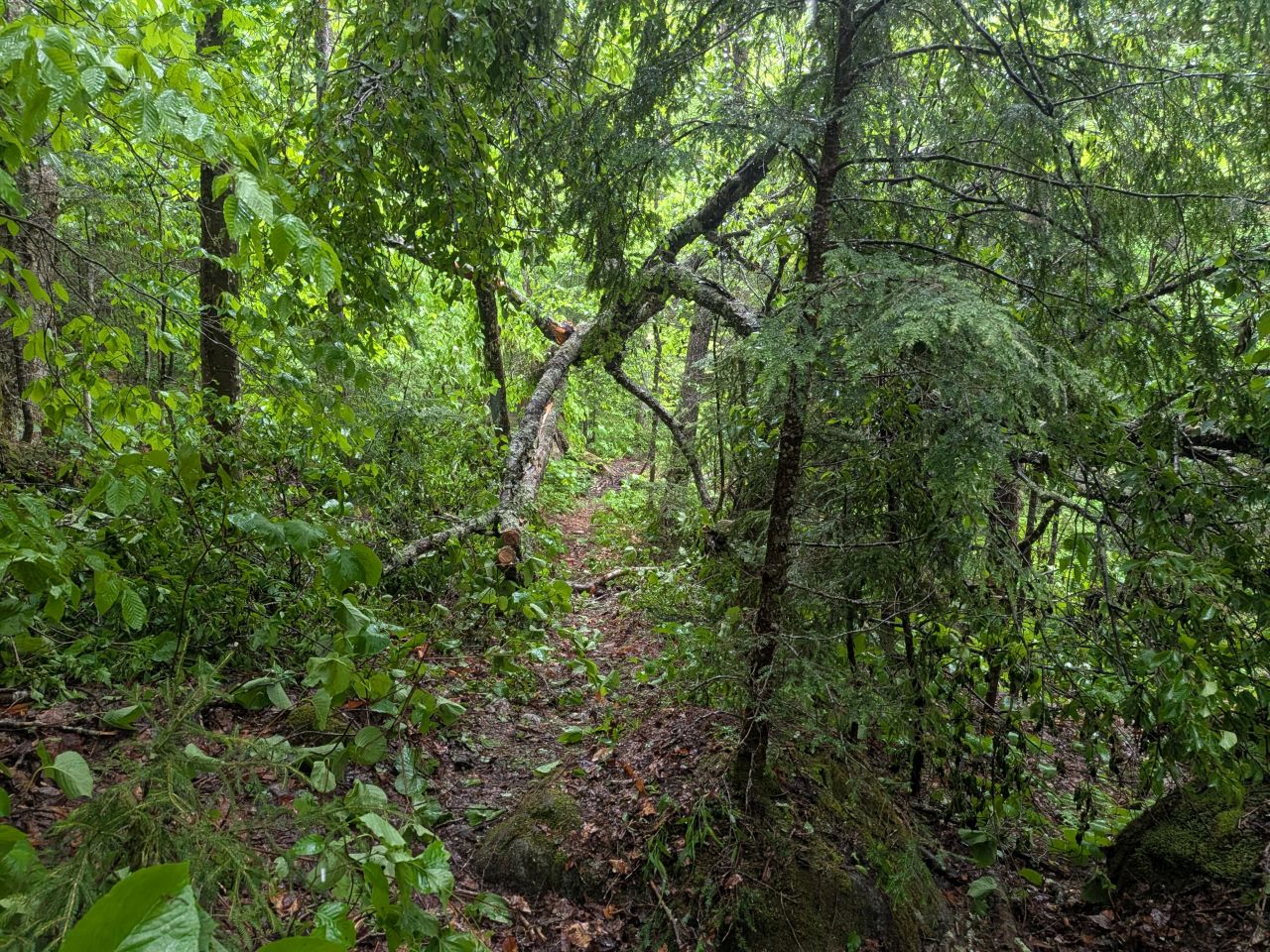
We faced a couple more blowdowns along the way which were easily cleared with loppers and saw. The loppers got a lot of work in today; with everything growing and in bloom, it was much easier to see what was encroaching on the trail and covering trail markers.
We are desperately in need of red trail markers and I really hope the forester gets back to us about it soon.
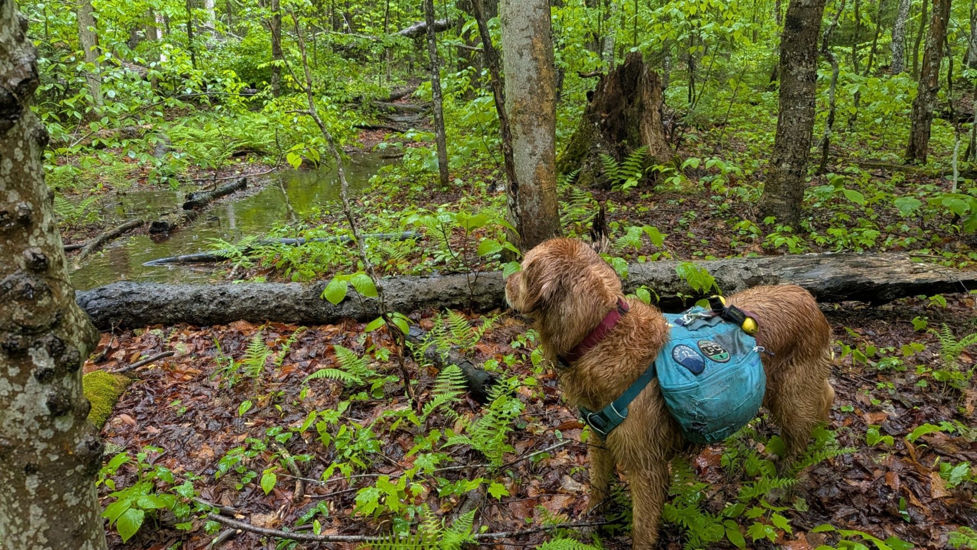
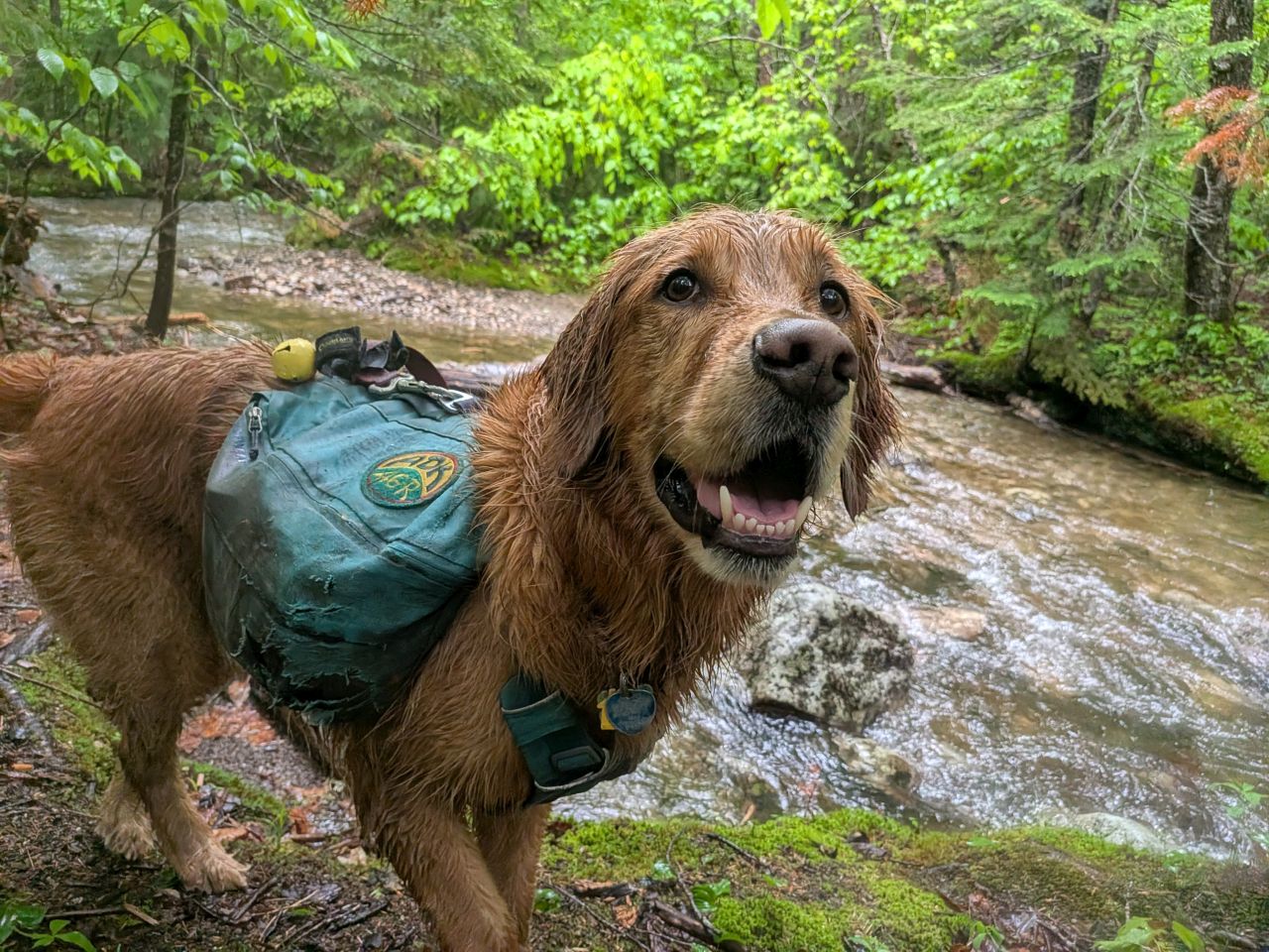
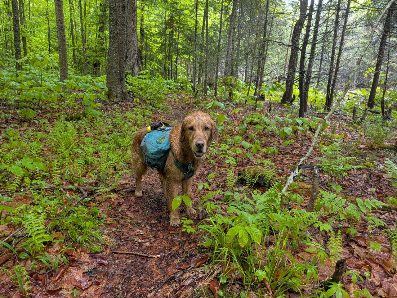
I could tell Sunny was quite confused about all the stopping throughout the hike. I had him leashed for the time being; I knew it was unlikely we'd come across people today, but I wasn't really sure about the wildlife situation here.
A short distance past the lean-to, we came to the big blowdown of the day. It was a huge, old, diseased tree which had fallen directly into the trail. I began by using the loppers to clear spaces for me to work.
As I came around to the other side, I noticed that the main trunk itself was suspended horizontally, supported by a thick branch. Concerned about Sunny's safety, I tied him off clear of the tree while I worked, cognizant of an "escape route" in case the tree started to shift. Sunny did not appreciate being tied up, but it was for the best.
After taking care of the stubby branches with the loppers, I had clear access to the thicker branches. Some of them were huge, so I took the time to cut these in several places so I could easily drag them off-trail. I didn't have to use the axe at all here.
As I worked, I kept trying to evaluate which branches were load-bearing. In the end, I decided the tree was in such poor condition that none of the branches could reliably be considered load-bearing.
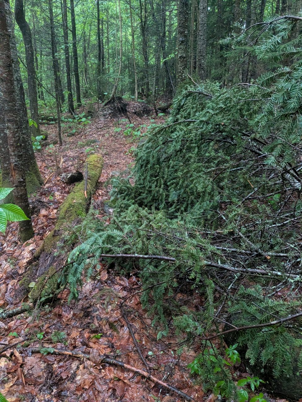
Here's the result of my work, looking North. There's plenty of room for hikers to pass through here for now. However, I think I'd like to revisit this in the Autumn to see if we can get rid of any more of it.
Here's a shot of the tree looking South across the little brook that's been undermining all the trees in this area. You can see how the big upper branch of the tree is supporting the main trunk. I should have gotten a shot of the rotten damage to the tree's midsection. It is quite impressive. As I was working, I did see grubs in some of the soft wood. I wonder if that's something the DEC would be interested in learning about.
At any rate, after an hour of work, we were on our way.
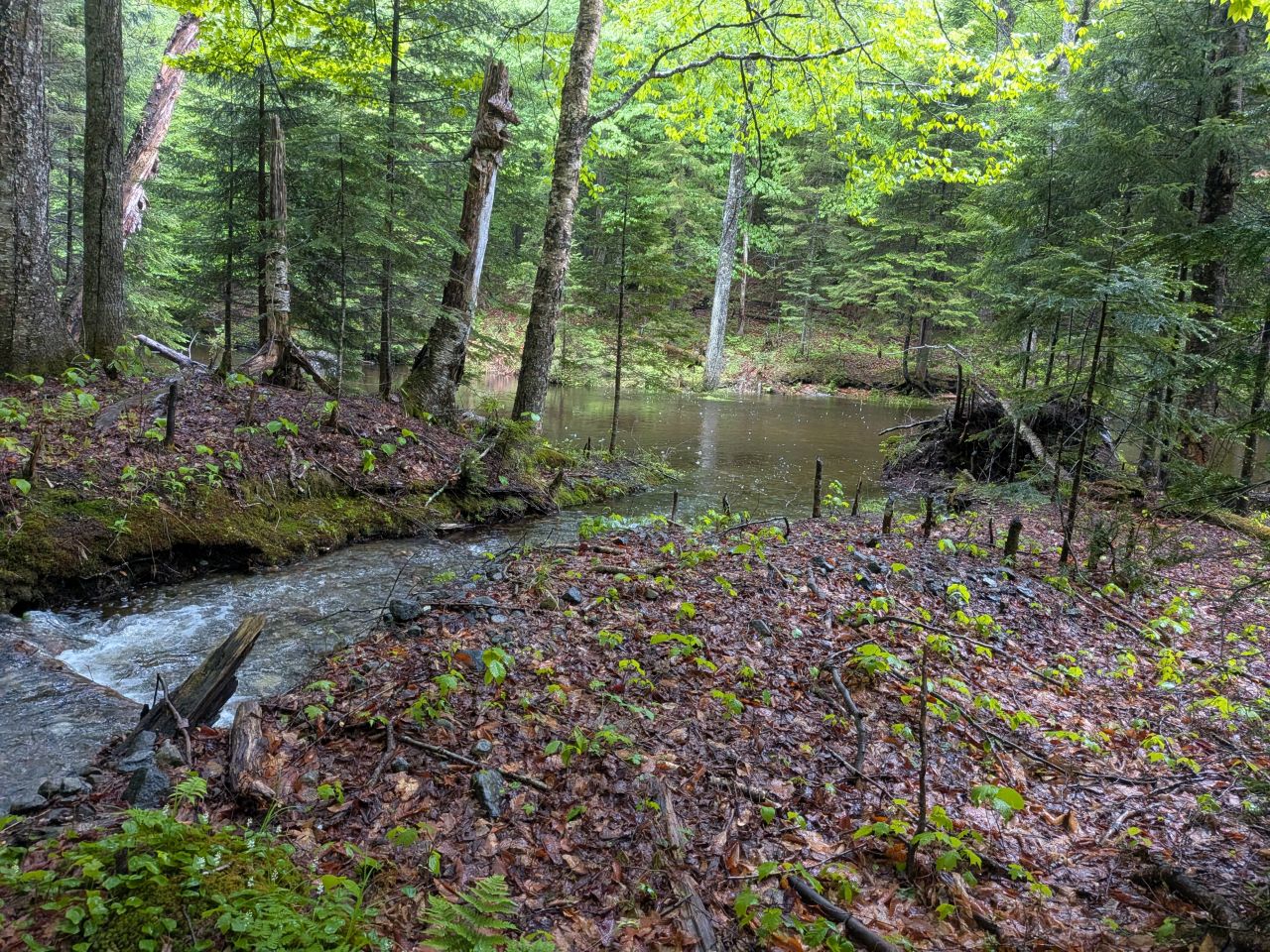
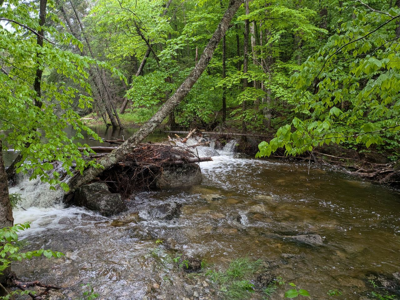
We'd seen evidence of beaver activity back in May and there was even more today. They are quite active here which is unsurprising. If you get water from this stream, perhaps wait until further up as the elevation gets steeper.
As we progressed, the crossings became more and more high. These are little streams and not really a big deal to cross, but I was getting my feet wet at every one with no recourse. It was miserable going, but nothing that would normally stop me from progressing. I was expecting to get wet today after all.
However, it was 1pm and the rain wasn't stopping. I was really starting to get worried about the Indian Pass Brook crossing behind me. I'd given up on the possibility of completing the entire loop today after the hours of blowdown removal and side-cutting we'd done, so we did have to go back the way we came.
I decided we'd done enough work today and we should head back.
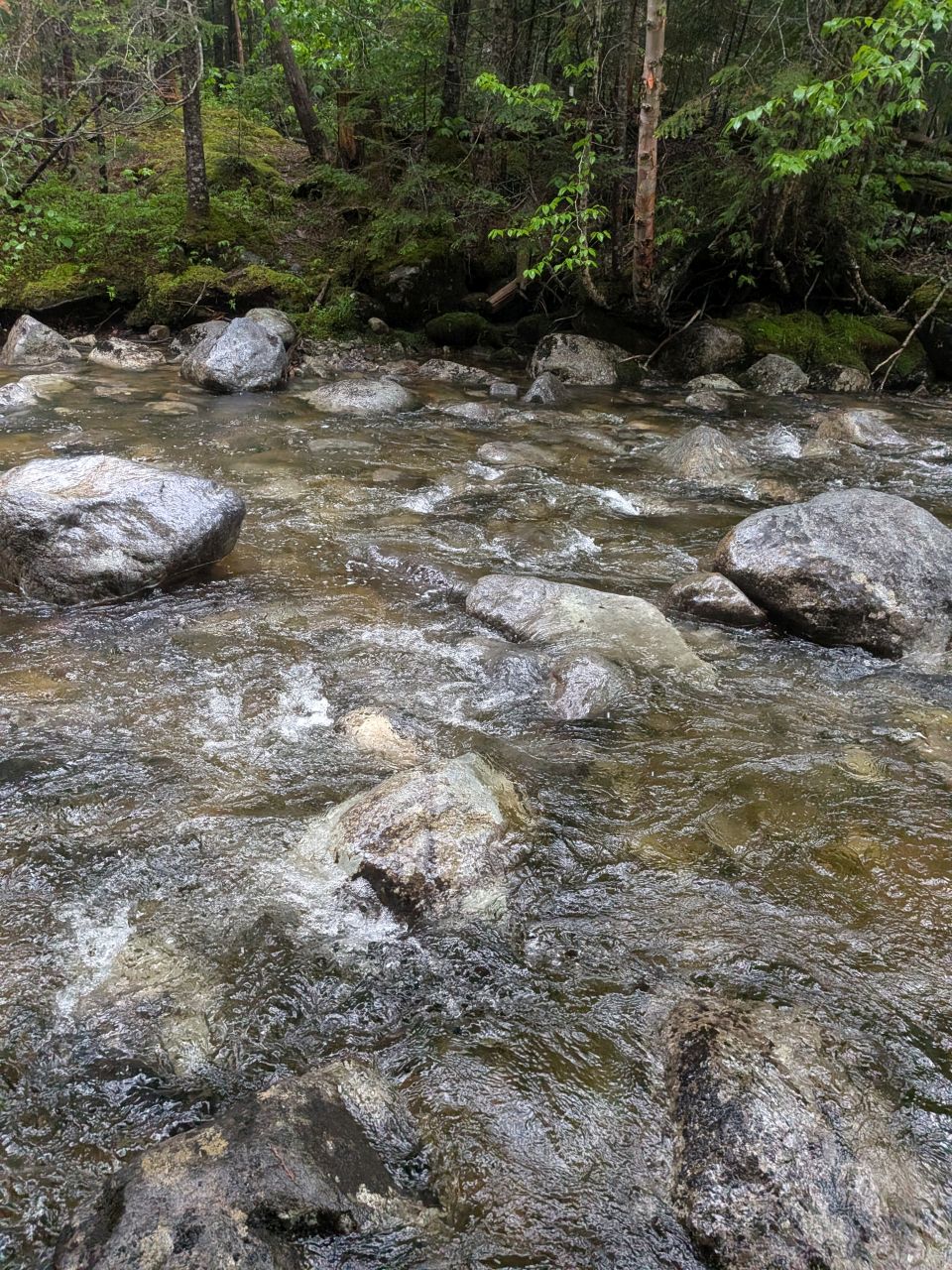
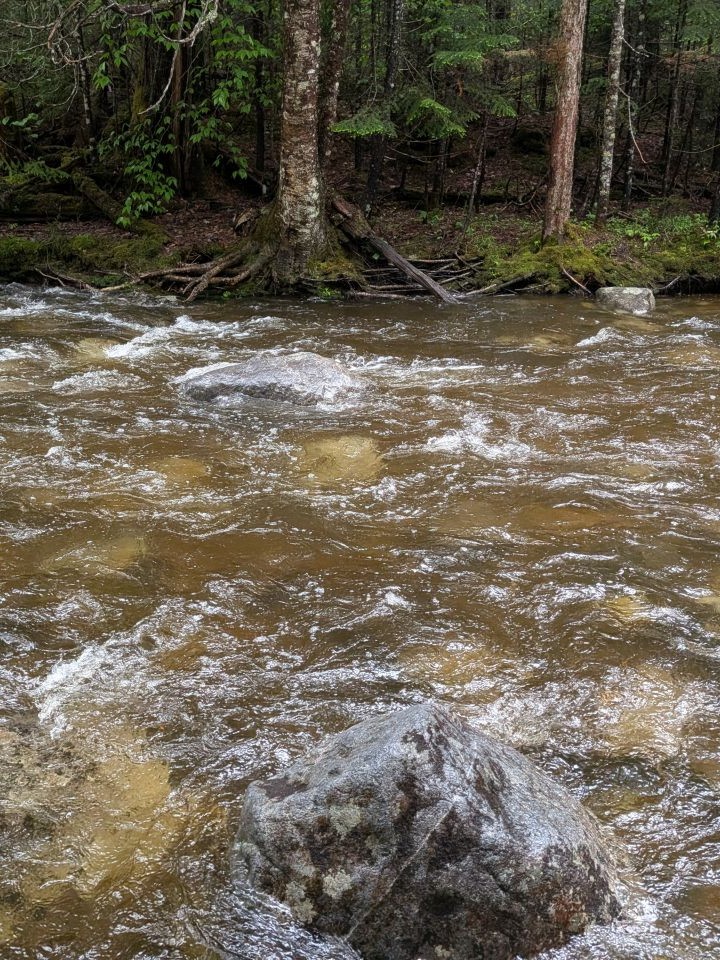
I was glad we did. Here, you can see the first photo is from when we crossed earlier. The second photo is from the return trip. These are at different locations, so don't think the water rose a foot or more, but I believe it did rise about six inches. There was no possibility of using stepping stones on the return trip, so we just plunged in here at this shallow spot. I was able to easily make it across, but I definitely got sopping wet up to my thighs.
We sloshed our way South and eventually passed Henderson Lean-to once again, I think around 2:30 or so; I don't quite recall. I asked the folks at the lean-to if they would mind if we stopped for lunch and they were amenable. They were four young men from Brooklyn - Jamdog, Spike, Steve, and Andy according to the log book (Knicks in 4!).
They were out on a 3-day backpacking trip, having hiked up Calamity Brook trail the first day. Then, they'd climbed Marshall, then down through Cold Brook Pass before climbing up Indian Pass over Summit Rock, and eventually making it here. They said it was dark when they were navigating Indian Pass Trail and they'd lost the trail several times. They informed me that the trail on the other side of Summit Rock is in just awful condition and is quite difficult to follow.
I'm quite keen to get out there as soon as possible to start clearing that up. I hate the idea of folks getting lost out there. Even if the trail markers are sparse, at least signs of cutting would be a good indicator of where to go, even in the dark. I have a feeling we will have to be liberal with our side-cutting through there. Who knows how long it's been since it's been done. In general, I'm glad I didn't try to do all that in one day. I think that section of the trail will be quite challenging and probably best done with friends.
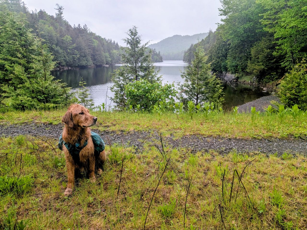
On the way out, we checked out Henderson Lake totally on purpose and not on accident. It's a lovely lake. I've seen photos from boats further North and I believe you can get stunning pictures of Wallface looming over the forest from there.
We were out of the woods by 3:45pm and we were both ready for it. There's nothing quite like shedding wet clothes after a long hike. We talked to one small group who'd bailed on Cliff and Redfield. Unsurprisingly, Uphill Brook was totally dominating the trail there and had been impossible to attempt either mountain.
I was home for dinner which is always nice. My knee was definitely sore after that two hour drive, though, and is still sore today.
I'm glad we got out and I'm glad we got more work done, but I'm really eager to get out and take care of the North side of the trail, especially while the days are still long. I feel like if we can get out and really put a good effort into it, the maintenance should be a lot easier in the following years.
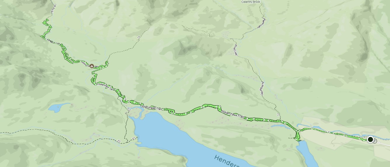
Route Map