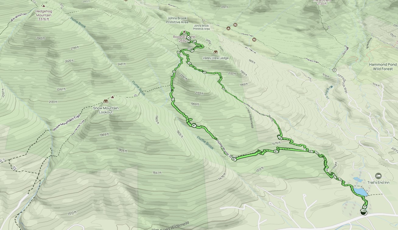
I loaded up the car with my backpacking tools and a common garden hoe, then drove to the Rooster Comb trailhead. I didn't get a head count, but I think there were like a dozen people there. Our trainer said there were upwards of 200 adopters overall.
We chatted for a bit about what we'd be doing when an older gentleman showed up. He said taid that his group maintains the Rooster Comb trail exclusively and that the Rooster Comb trail was already cleared of any blowdown, but did need its drainages cleared. After some discussion, the trainer said we'd go up Flume Brook Trail instead, clearing blowdown on the way up, clear drainages on Rooster Comb trail on the way down.
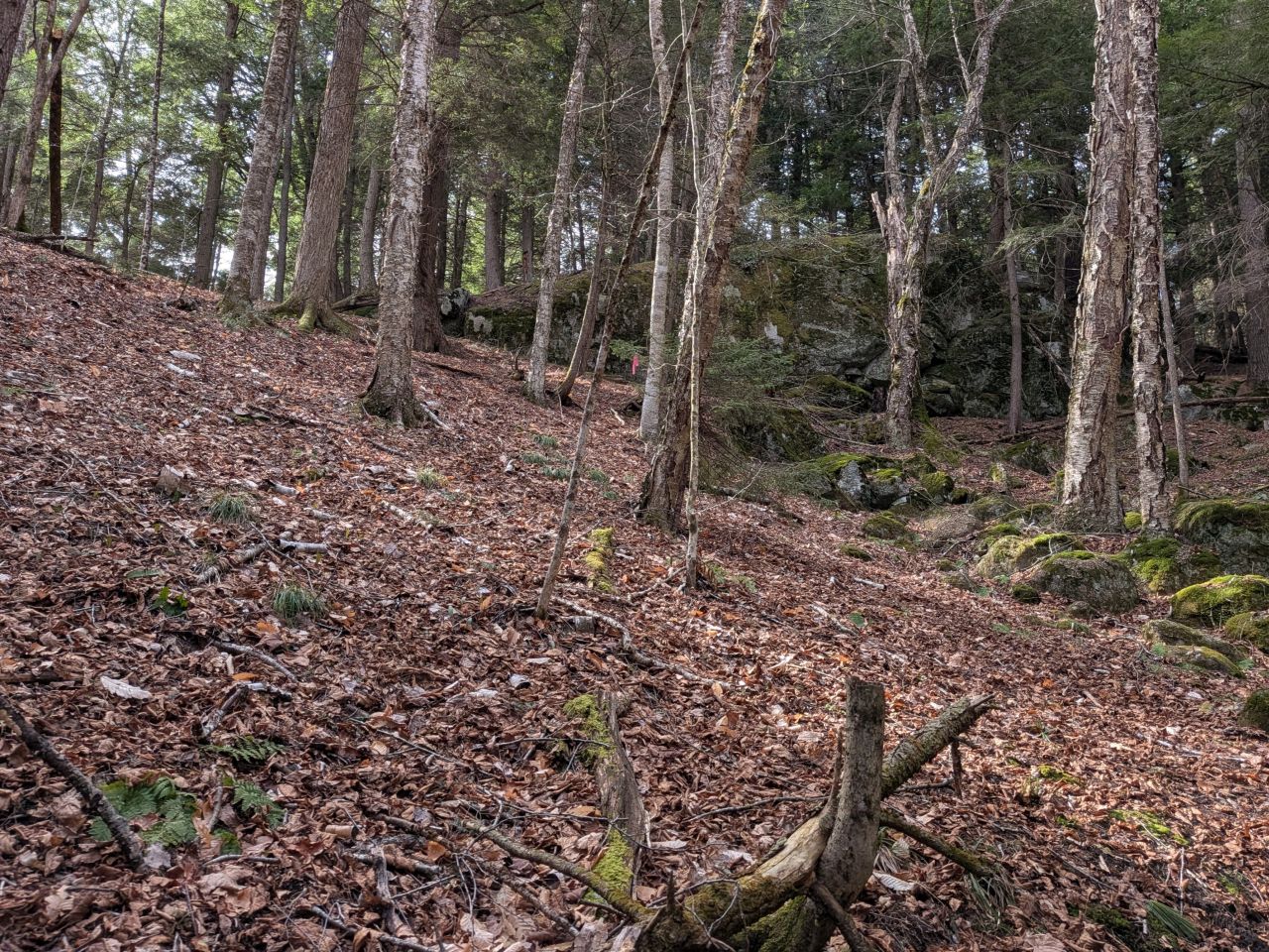
The hike up was a joy. The sun was shining, the birds were singing, and the woodpeckers were knocking. I forgot how pretty it is here with big boulders and woods oddly clear of much underbrush. Our trainer said these woods were nicely populated with big Hemlocks.
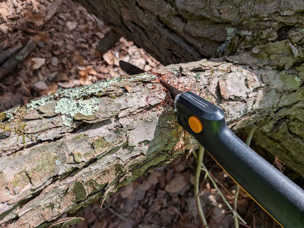
Our trainer told us that the rule of thumb for clearing blowdown is to cut anything that isn't "easy over" or "easy under". Clearing fallen trees isn't limited to just blowdown in the trail, however. Sometimes we need to cut up trees that have fallen in the path of a drainage, blocking it from successfully outflowing water from the trail.
We also got a lesson in chopping thicker trunks with axes, what angles to use and other techniques. This was especially helpful because I've never chopped a tree in my life. Motorized tools of any kind are not allowed; these tools require special certification and even the rangers can't use them except during certain windows on the calendar. However, one of the volunteers did have a device called a "pocket chainsaw" which was fascinating. It's simply two handles with a long, flexible chainsaw-like blade strung between them. It worked a treat.
I need to remember to bring my loppers as well. We use these to cut back the living plants invading the trail. The rule of thumb for this is to cut anything an inch thick or less that brushes against you or otherwise invades the path.
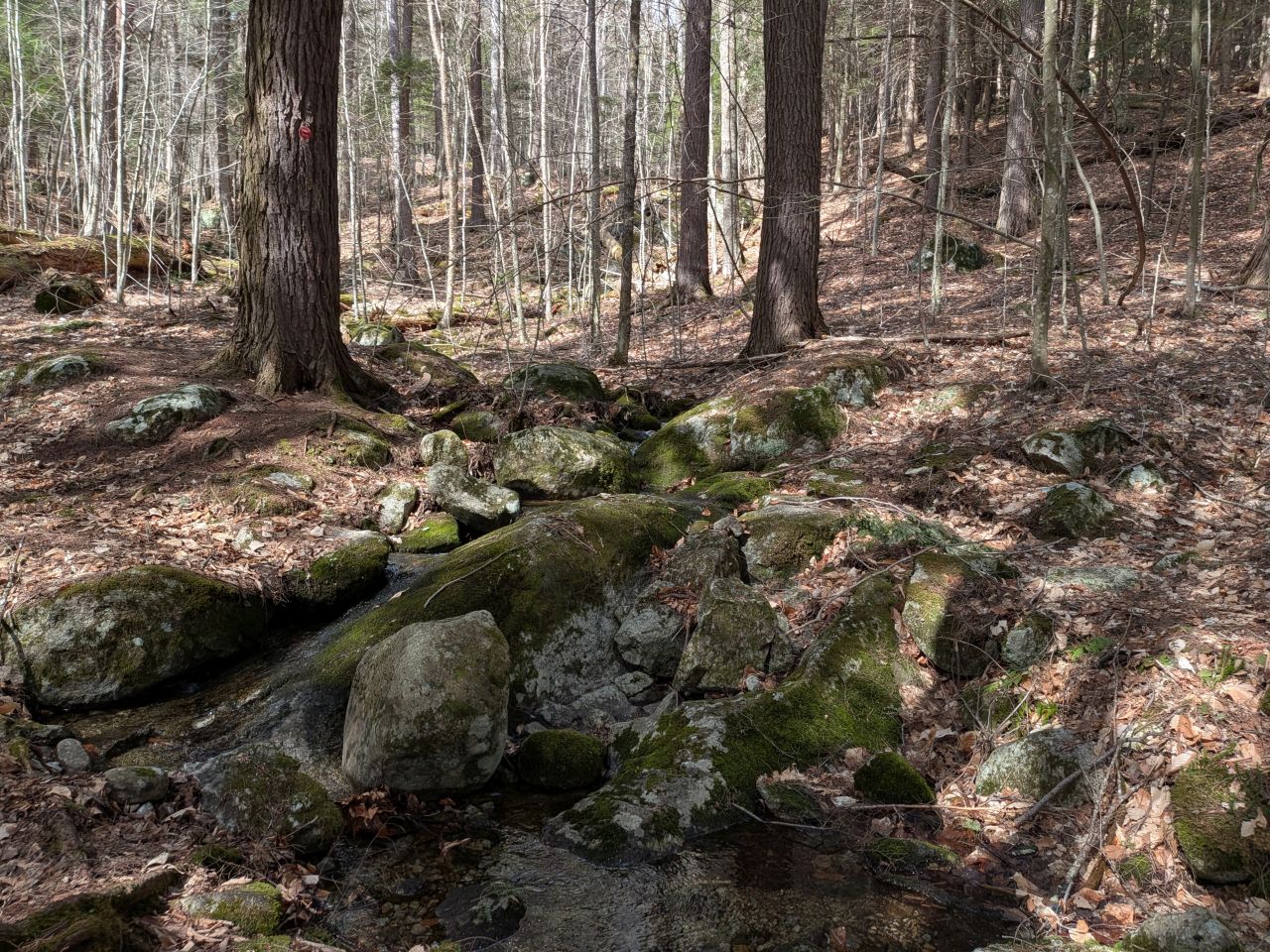
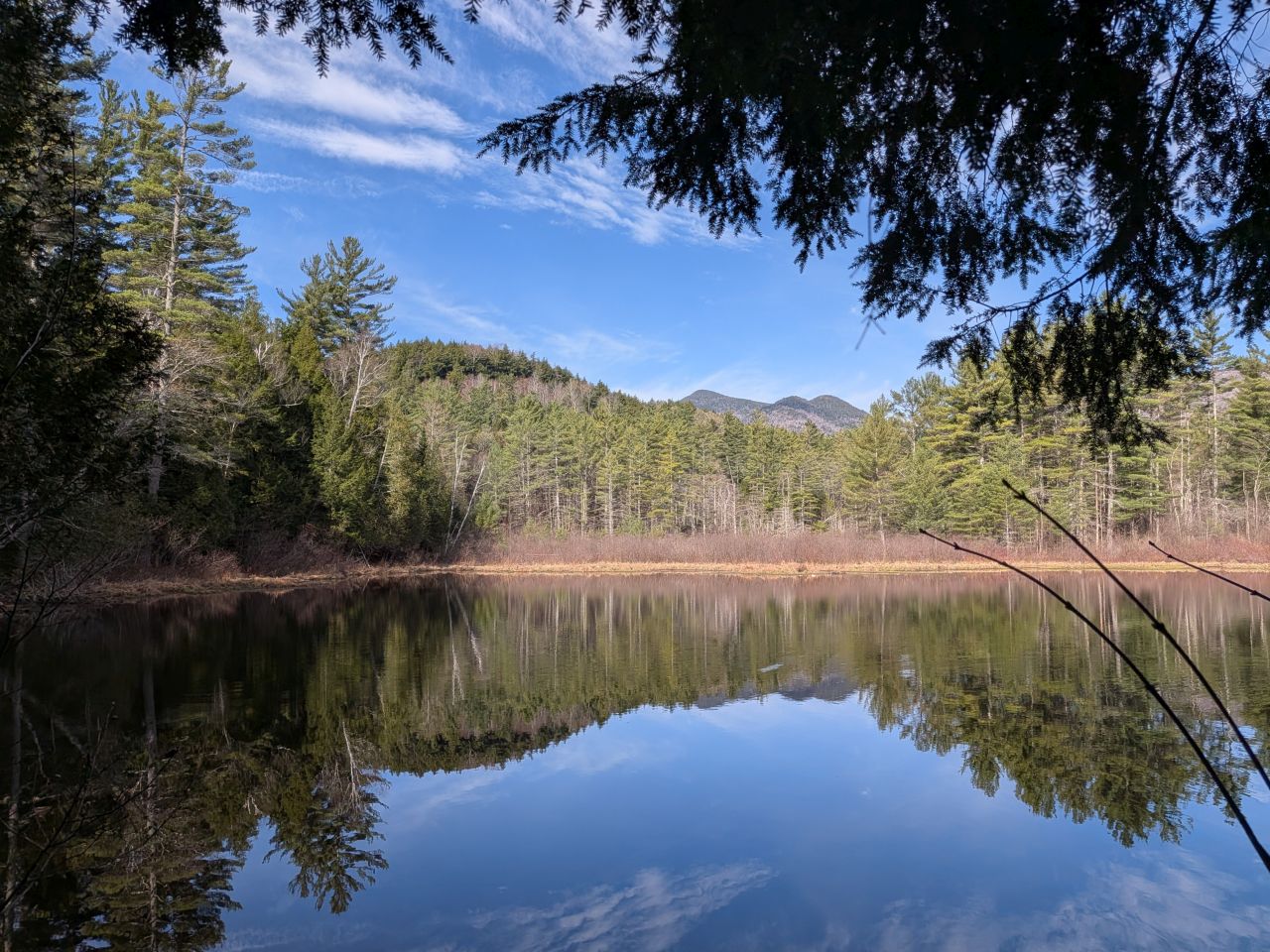
The water was gently rolling downhill today. I did manage to fill up the Befree filter for my first taste of fresh mountain water this year.
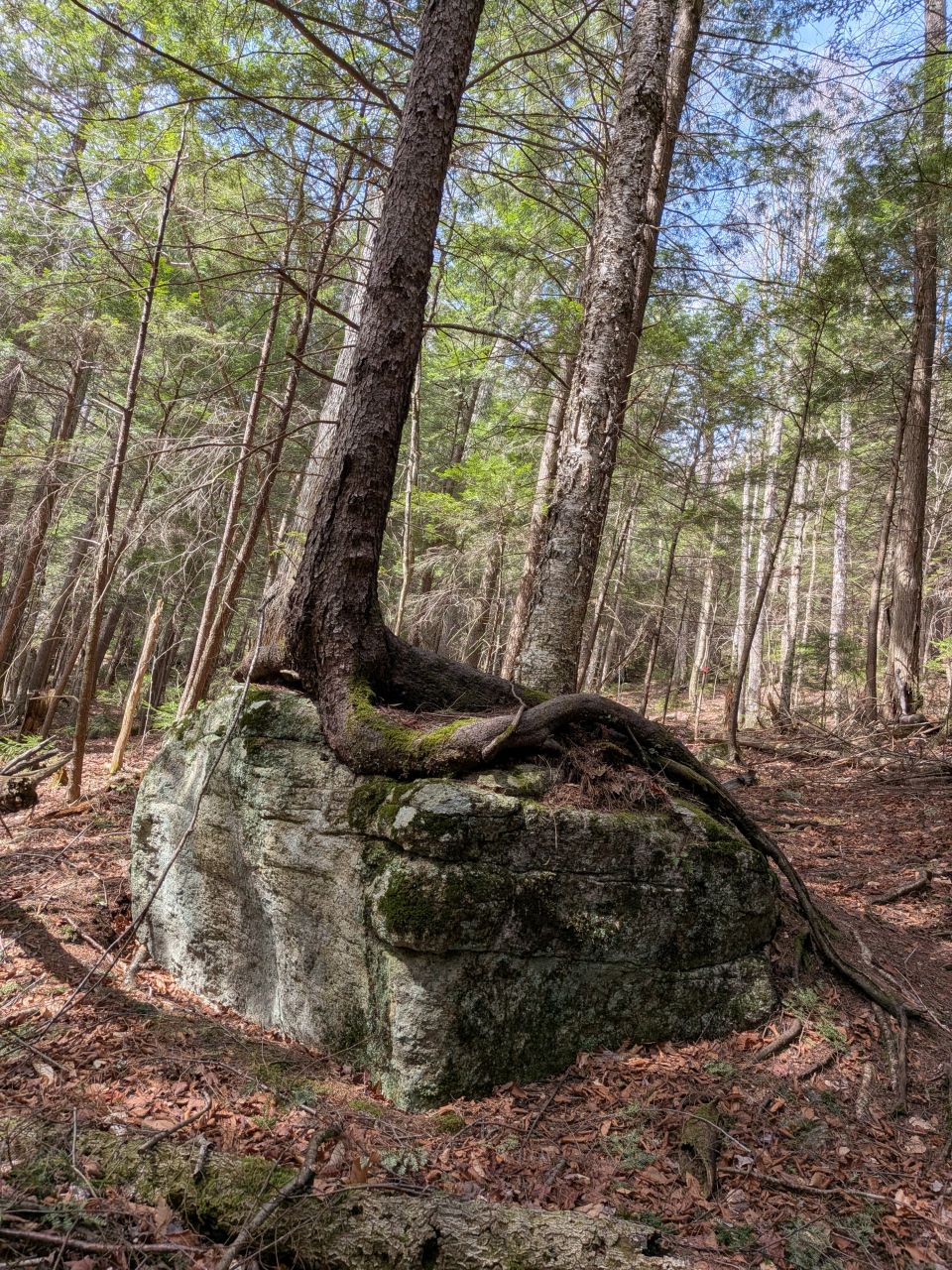
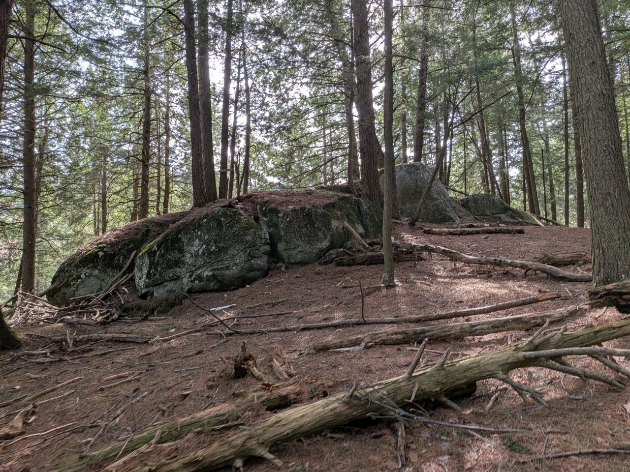
Tree on rock is still my favorite.
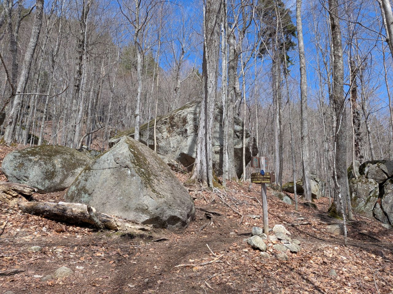
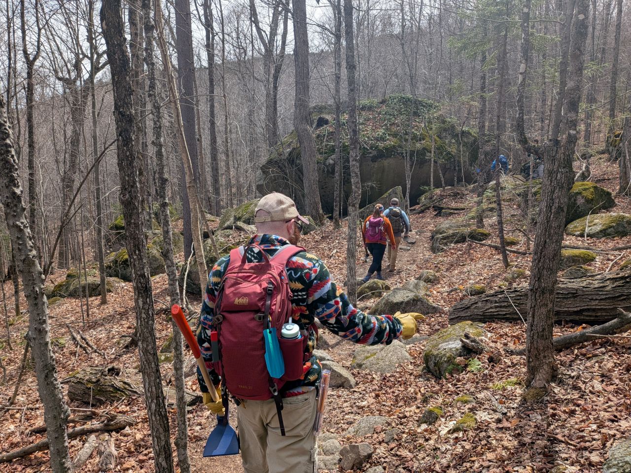
The boulder field before the real climbing begins is so cool.
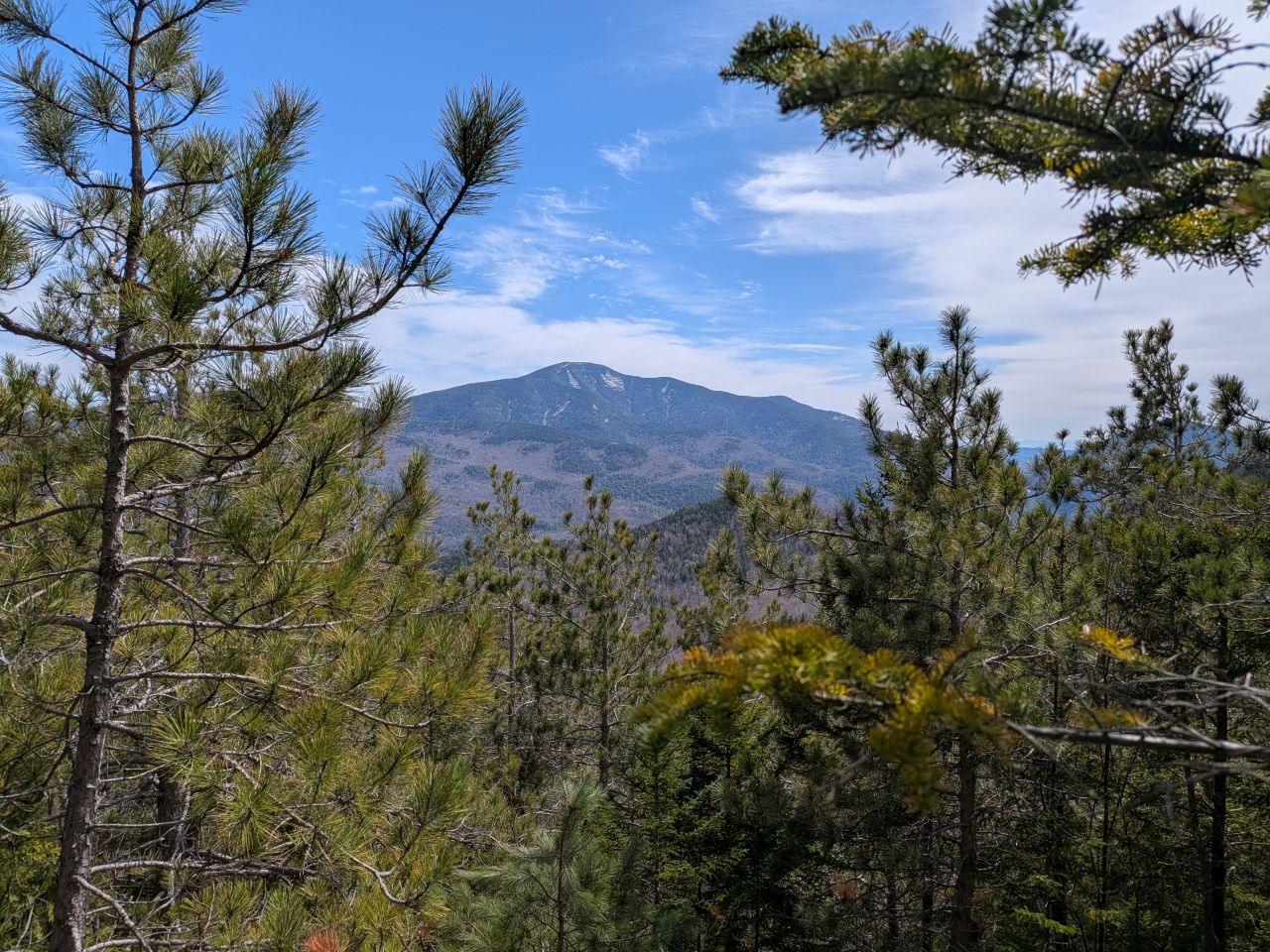
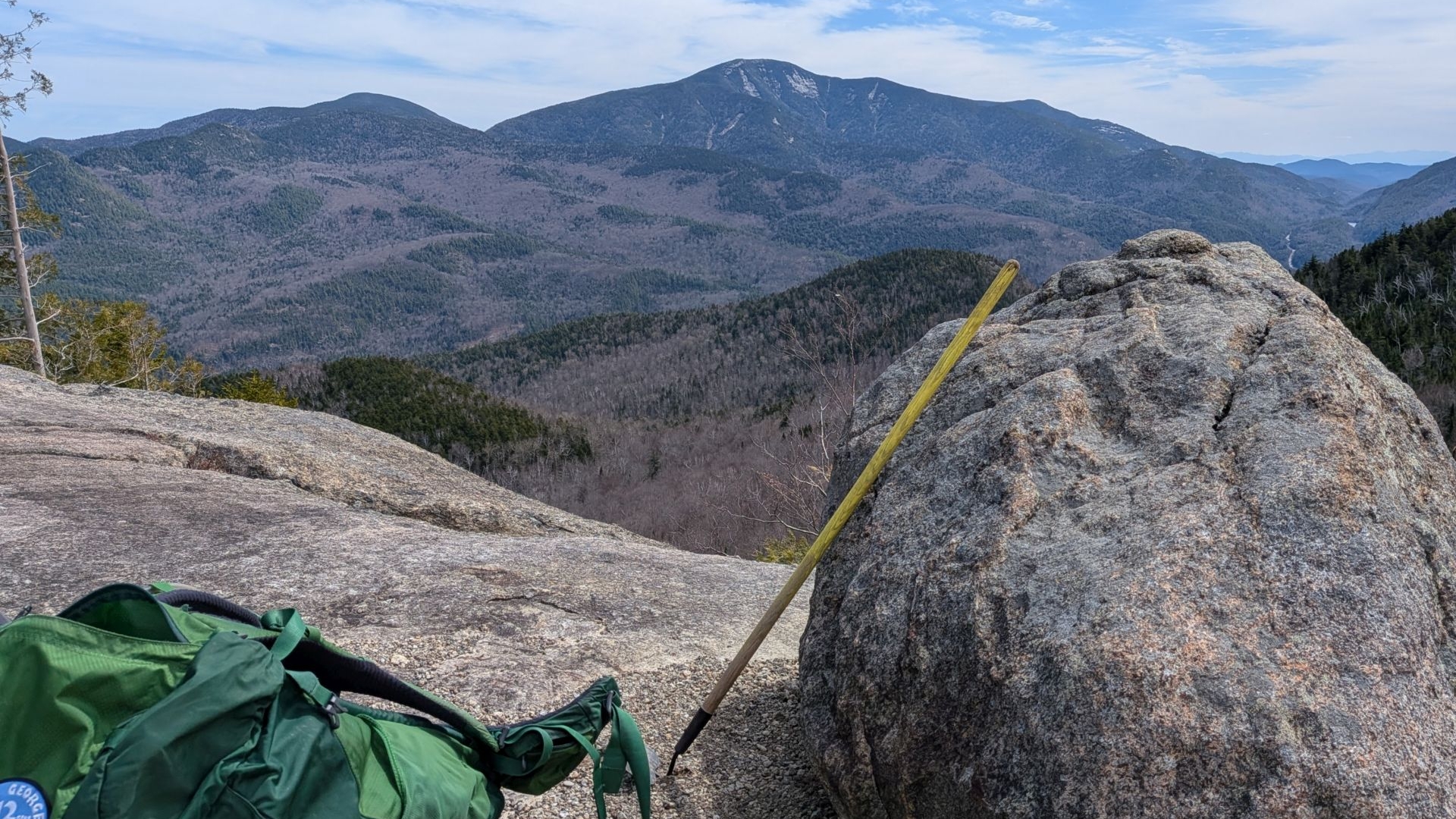
Giant was looking majestic looming over the valley.
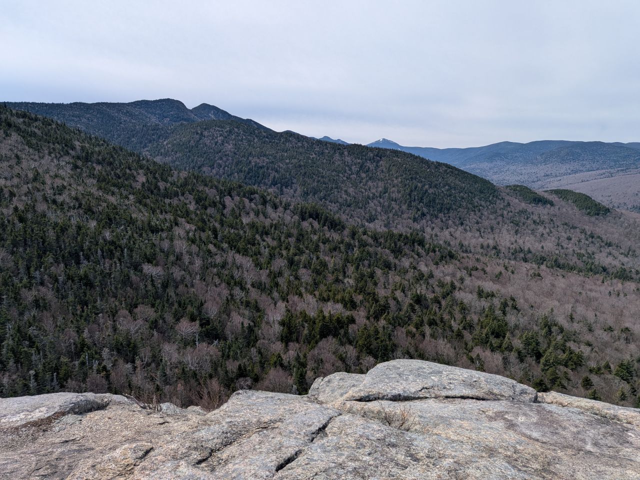
From the summit, the Great Range marched off in the distance. The valley below was still in early Spring slumber. Still, it was a stunning day on Rooster Comb. We hung out on the summit to eat our lunch, then had a nice chat about a variety of topics before heading back down.
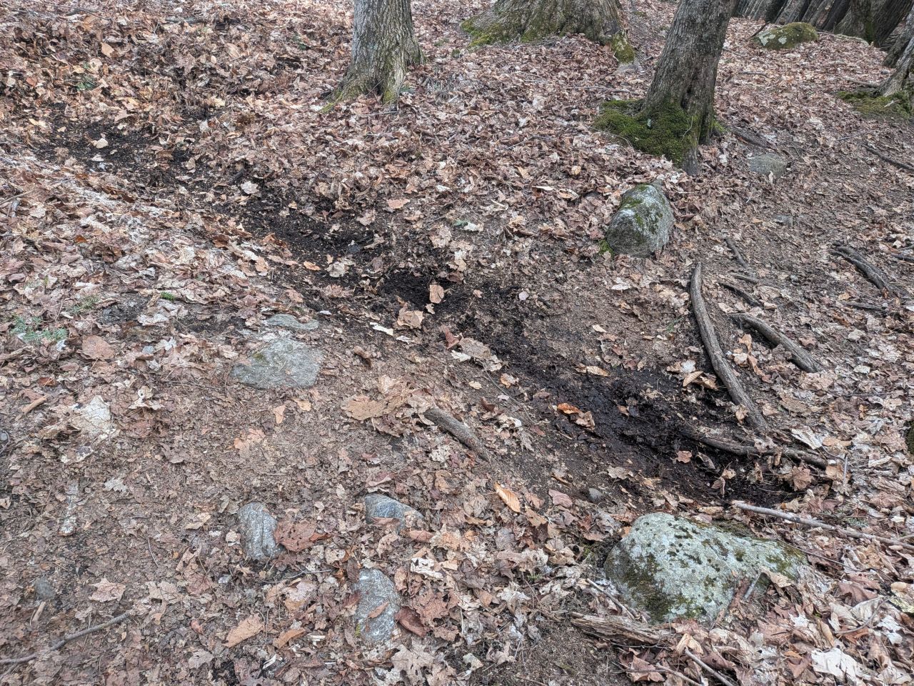
There were lots of drainages that needed attention on the way down the Rooster Comb trail. We learned where to clear obstructions and how to do so. It was good to get instruction on the correct way to do this. One thing we're not meant to do is rock work which means we don't add anything new on the trail like stepping stones.
Members of the group piggybacked all the way down with the front two folks stopping to clear a drainage while everyone else moved on to the next one where those front two stopped, and so on. We were done by 3:30 which gave me plenty of time to be home for dinner.
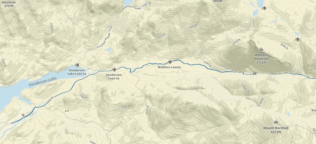
The trail we're adopting is Indian Pass. All told, the trail is 10.7 miles out and back with 2050' of elevation gain.
- The first quarter mile or so is the beginning of the Calamity Brook Trail, but I suspect we share the responsibility of that trail with someone else.
- Then, the Indian Pass trail hangs a left and meanders between a couple of hills and past the shores of Henderson Lake for about a mile.
- After that, the trail breaks away from the lake and starts a gentle climb between MacNaughton Mountain and Mount Marshall. It's on this 2-mile stretch where both the Henderson Lean-to and the Wallface Lean-to lie.
- For about a mile, the trail climbs between Wallface and Marshall at a much steeper grade, gaining about 800'.
- The end of the section descends about 420' down to the junction with Cold Brook Pass. This is the terminus of our responsibilities. I suspect this'll be the most annoying part because then we have to turn around and go right back up it.
I'm also thinking of adopting the lean-tos on this trail. In addition, I may try to work on clearing blowdown now and again on the herd paths going up Wallface and maybe MacNaughton.
The Off on Adventure blog has an article about this trail which has some good details.
Some of the guys agreed to help out when they can and I'm stoked about that. It's always good to have company and it'll make the work a lot easier. We're hoping to get out there sometime in May, though I need to give the forester a couple weeks' notice before we do. The Henderson Lake Lean-to (not to be confused with the Henderson Lean-to) is quite close to our trail. Even though our trail does feature two lean-tos, Henderson Lake allows fires.
Watch this space to see how we get on.
Route Map
Afternoon_hike_at_Rooster_Comb_Trail.gpx (156.33 KB)