For this hike, instead of starting at Ward Hollow Rd, I drove up Rt 2 to Stuffle St. to Grafton Forest Rd. This would set us up to hike the loop of the entire forest rather than just hitting the viewpoints on the East side.
The road does pass the Valentino Community Forest trailheads. That forest also has a lean-to, according to the Hudson Taconic Lands website.
Note that Google Maps stops here, but the road continues to the next trailhead. The road bumps along past a few more houses. You'll want to keep an eye out for big rocks and gravel lumps to avoid bottoming out on the way to the Grafton Forest trailhead.


The parking at the trailhead is very generous especially compared to more popular areas. I was glad to see some color in the trees when I arrived. The day was brisk and I wore my duff and hiking gloves the entire time, but I left my jacket off. I didn't really need one for hiking, plus I'd forgotten my reflective neon vest to go over it.
Highpoint Trail

I decided to save the views for last and hike the trail counter-clockwise.
Considering it was hunting season and there were lots of critters about, Sunny stayed on leash for the entire hike. He was very alert and excited, sniffing about and perking up continuously. Having said that, he wasn't pulling exceptionally hard today, which was a blessing.

The hiking trails crisscross with old logging trails and the snowmobile trails. It's easy to wander onto one of these roads and have to either double back or bushwhack back to the real trail. It wasn't just me either. Several times Sunny tried taking the snowmobile trail or truck trail instead of sticking to the marked hiking trail. I wasn't sure if he was sniffing out the smell of vehicles, people, or animals, but it was a constant struggle for him.
All in all, however, it was a beautiful day.
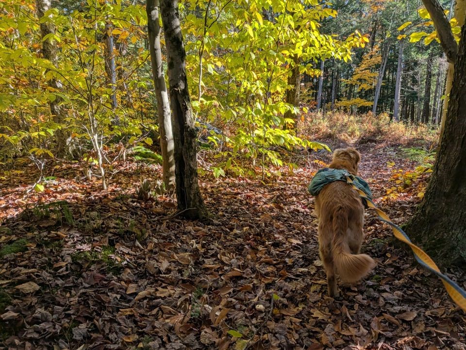
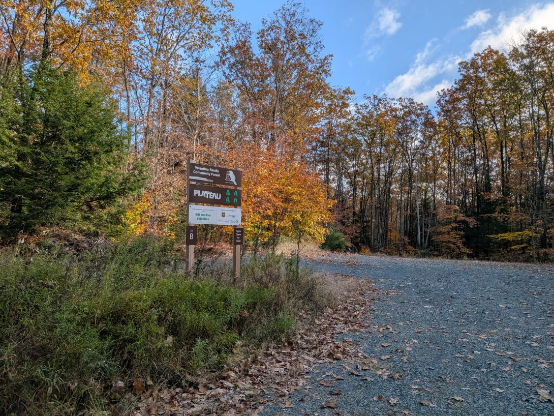
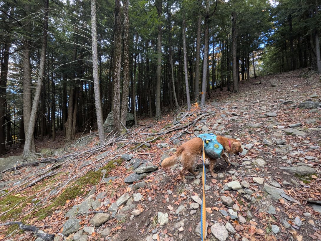
The trail was somewhat rocky, but for the most part we walked on soil and leaves. The rocks on the Rensselaer Plateau are, according to the USGS, "Rensselaer greywacke" which is a type of dark, coarse-grained sandstone. Although it is technically sandstone, it's rich in quartz and feldspar making it a very resilient rock. According to the NYS Parks and Recreation site, the plateu was a basin of this sandstone for quite some time, then the softer rocks weathered away and left the greywacke plateau behind. The hardness of the stone lends to the region's many small ponds and marshes pooling for a long time without abatement.

There's a lovely diversity of beautiful, albeit young trees in the forest.

Many of the paths wide and level, making me assume they were once wider lanes of travel.

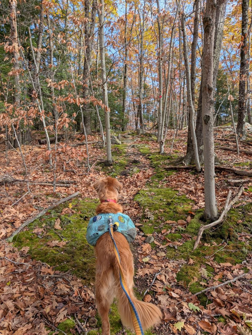
There were some cool rock formations along the way, especially here as we began to approach the high point of the hike.

Thirty-five minutes after we started, we reached the high point of the hill. There are no real views to speak of here, but it is a very pretty place just the same. Here, the trail makes a hard left and heads East across the plateau.
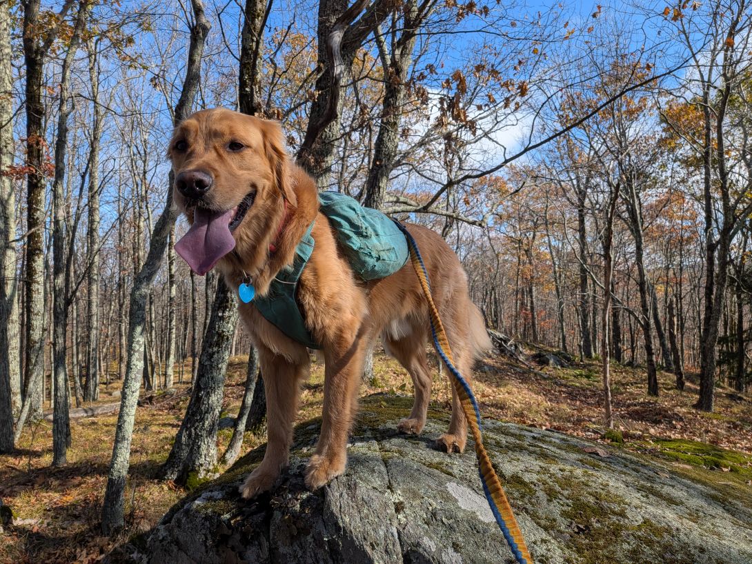
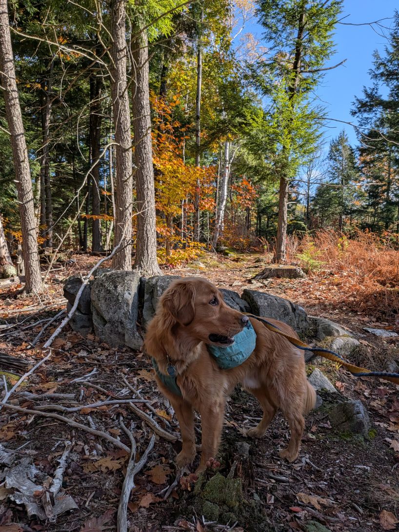
King of the mountain!

The trail passes a bit of a swamp until it meets up with the snowmobile trail again (which actually traverses across the Southish side of the swamp itself).

For some reason, prior to the previous hike, I'd lost the knowledge that two markers mean the trail takes a hard turn. Fortunately, the guys reminded me of this on our Pharaoh Lake hike. In all, the trail was extremely well-marked today.
Lean-to and Rynard's Roost

A short time later, the land opened up and beyond an ancient stone wall, the roof of the lean-to became visible.

The lean-to was built by Xander Michaels and Troop 526 in 2017. It is a lovely lean-to and features a standing grill and, interestingly, retains the bark on the logs.

The fire pit is set off a bit from the lean-to which isn't a terrible idea.


At first I thought there was no real water source for this lean-to, but a very short walk down trail East of the lean-to was an outlet from the marsh above. Boulders shored up the point where the water was dribbling out and the water rolled over several yards of rocks and boulders before collecting in a pebbly pool. The water did seem good enough to filter and if it was running now, I suspect it'll be running most days unless it's been very very dry.

We took a right at the Rynard's Roost junction and moseyed out to the point. It was an easy walk until the end where there is a bit of a climb up a rocky jeep trail to the summit.


The jeep trail curls back around the summit rock and heads back down to who-knows-where. We climbed to the top and found a big rock and a makeshift fire pit.

Views of the Tomhannock Resivoir are gorgeous up here. We enjoyed the cold breeze and the view for some time. Sunny was super alert because we spotted a solitary deer flit from cover to cover down below. The animal never actually fully showed itself in the truck trail, but we saw its tail in the shadows as it bounded away. It was big, dark, and alone, so I'd guess a layman's guess that it was a buck.
Whoop-de-do Trail

The Whoop-do-do trail shares space with the snowmobile trail for a bit. This is fine but I obviously prefer the foot trails.

The bridge over the stream near the lean-to is very broken, but it's not a big deal for hikers or, I assume, snowmobilers.


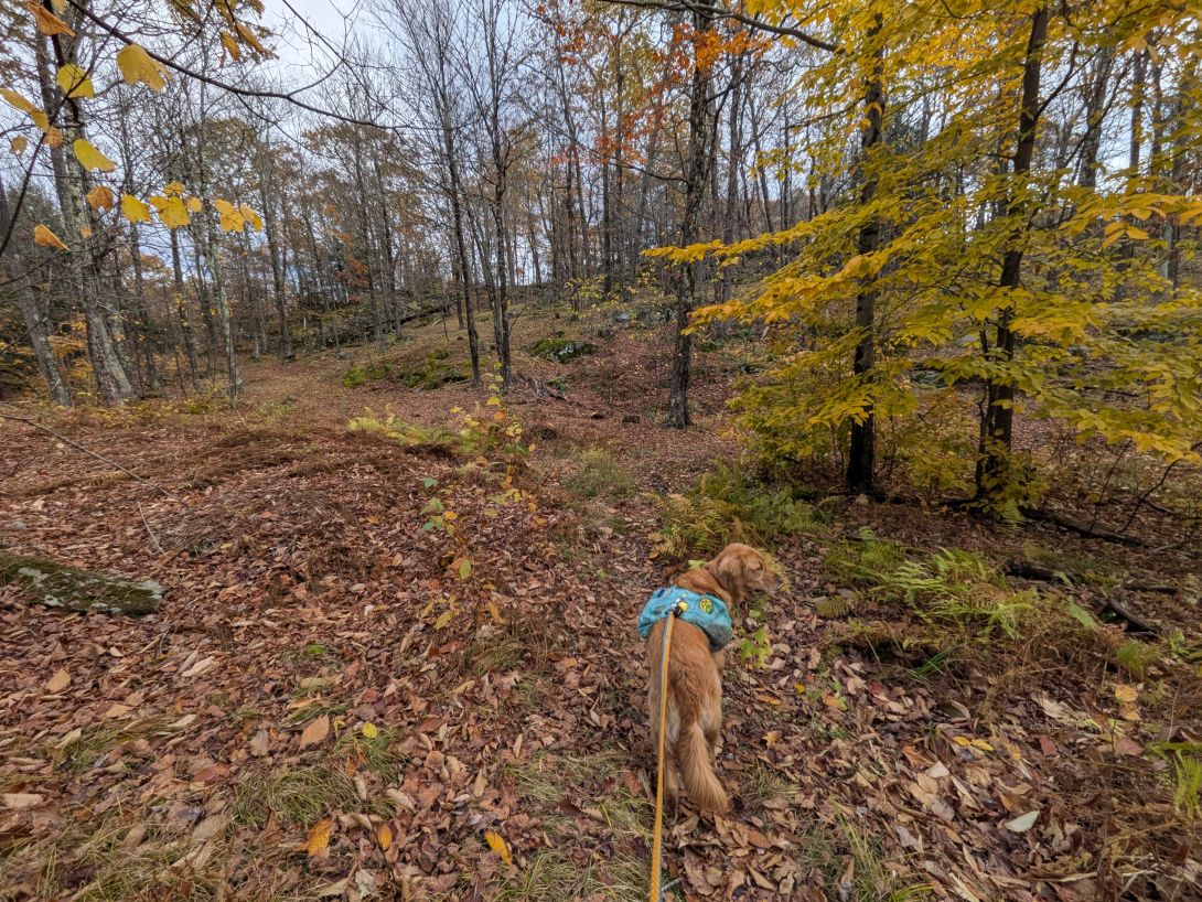
The hike out to Vulture View is very pretty.


The view here is nice; a bit closer to the reservoir than Rynard's Roost, but also a bit more obscured. I decided this should be our spot for lunch. We met the only other two hikers of the day here, both solo hiking from the other direction for the views. We had some friendly chats and were alone again.

The terrain had been mostly flattish since climbing from Rynard's Roost, but now we started gaining a bit and finding more rocky terrain as we approached the next overlook. This hike was fascinating because in such short mileage, we experienced regular changes from wet to dry, soil to rock, and deciduous to coniferous. I suspect the fact we were wandering on a plateau had something to do with that, along with the hard, unyielding rock beneath us.


Big rocks!

The ledge at Valley View overlook was lovely, but I was starting to get anxious about getting back in time for Quinn. After a quick snack, we were on our way.

It was an easy downhill walk back to the car and we were driving off by 2pm. We had a great time in the woods of Rensselaer County this week. I wasn't really expecting to do a hike with views, but this hike definitely had them. It was certainly nice compared to the effort required to find them. I was also surprised by how many lean-tos can be found to close to home.
Sunny and I were moving well today and I was feeling great. It was certainly nice to have less than 10lbs on my back!
I'm not totally sure what's next. My dietician and I discussed motivation for continuing my activity and she recommended pointing myself towards a new goal now that we've finished the 46. I'd told her that we're "Kind of doing whatever" but we seemed to come to an agreement that I work better with goals ahead of me.
As such, I think I'll turn a focus on completing the Lake Placid 9er this winter. I've got 5 mountains left and that seems attainable. Obviously, if someone suggests another hike or if I'm strapped for time, I have no problem sprinkling in other things. The guys and I definitely want to have a go at some Winter 46ers, for example. However, I'm going to set the Lake Placid challenge as a specific, measurable goal until spring.