
Baxter
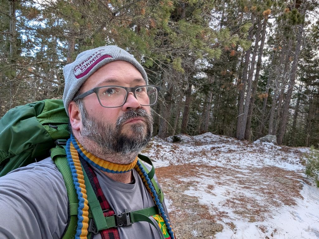
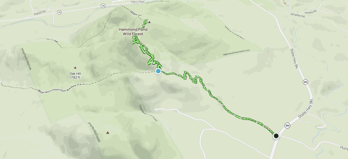
We knew Baxter would be an easier warm-up hike. When we arrived at the trailhead, most of the snow was melted or blown away. We decided to leave our snowshoes in the car and spikes in our bags for now.
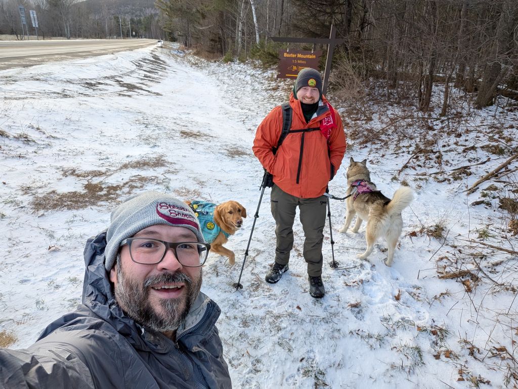
Everyone was raring to go. We were on-trail by 9:15am.

The first half of the trail cuts right through private land. I didn't research whether this was an easement or what, but the DEC wild forest sign is posted as the elevation gain begins.
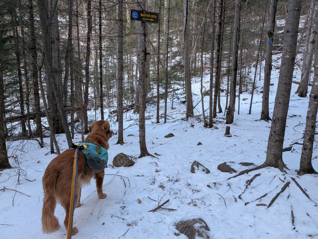
We came to a junction after the initial light elevation gain. A left turn takes you to a residential neighborhood on 73, but not before some private land so I'm not really sure what all's down there. Continue right to Baxter summit.

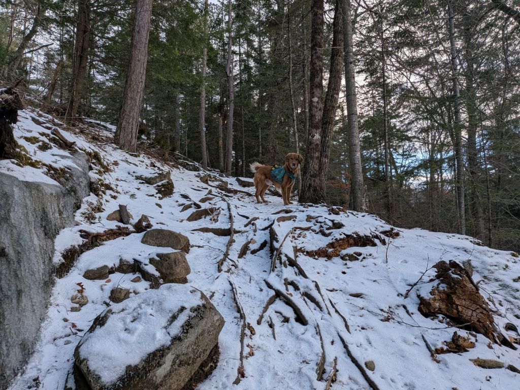
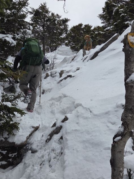
After the junction, the steepness began, as did the ice. It wasn't a difficult ascent by any means; this is a very accessible trail with lots of switchbacks. We did eventually put on our microspikes, however. There was lots of ice.
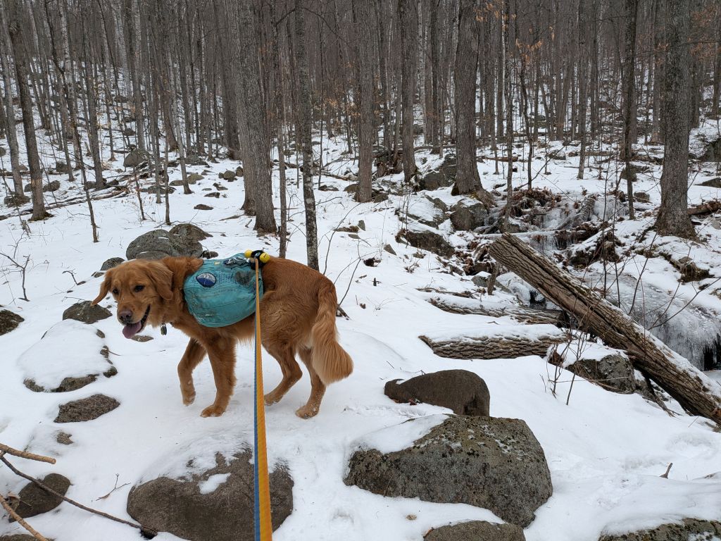
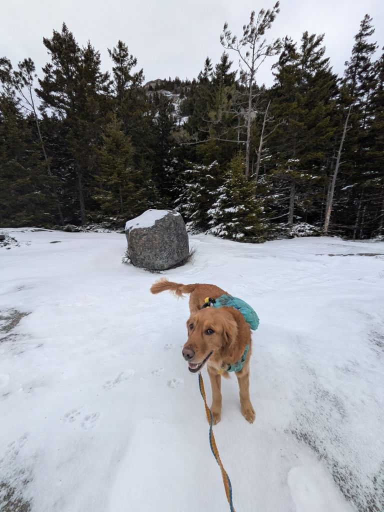
Once we were gaining elevation and on public land, I cut Sunny loose. He immediately started running out all his pent-up energy. We'd been doing some neighborhood running this week, but it's not the same as stretching your legs dashing through the woods.

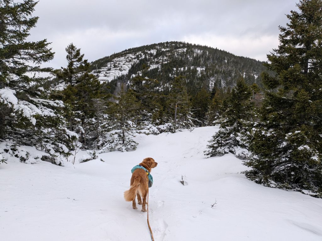
The mountain's false summit features a steep ledge on its Southeast side and some great views can be had here. Jay caught this photo. Both of us were a bit turned around and we figured the peak in the distance was Big Slide by the shape, but something just didn't sit right with us on this. We were right to be wary; this was more of an easterly view. The peak in the distance on the left is actually Giant... the shape is "backwards" from the shape of Big Slide. The peak in the distance on the right is Dix.

The trail hugs the cliffs on the false summit. This is an awesome place for a quick hike and lunch. It offers the best views of the trail. I was a little nervous of Sunny, but he seems to have a good head about him when it comes to heights.

The far Western point offers distant views of the Dix Range on the center left and, to the right the Great Gothics Range and Marcy far in the distance.


Pups were having the best day ever as usual. We came to a summit at just past 10am and celebrated with photos and a snack. As we were heading back down, Jay wondered out loud if that was the real summit. I said "Yeah that must be it," because this is where the red Baxter trail ends and the yellow Upham trail begins.
However, I paused. "Actually, let me double check." I checked the map and, of course, no it wasn't. This was a false summit. Jay chided me for believing an Adirondack mountain could be summitted without first losing elevation at least once.
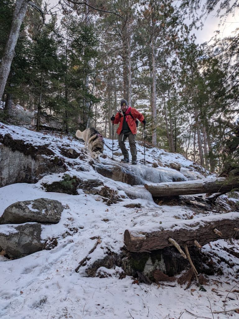
We found more ice in the col between the summits, but very little snow.

The trail on both summits and between them has many paths and tributaries from hikers checking out the various overlooks. We wandered to the left a bit, but eventually found the trail and ascended to the true summit. However, as we approached, Sunny tore off to frolik. For the first time in a long time, I had trouble recalling him.

As it turns out, Sunny had been saying hi to a new friend. They'd been on an adjacent segment of the trail, but we'd never actually seen them. We enjoyed some pleasantries and were soon on our way.
"Again!"
We were back at the car before 11am, making the whole trip up and back in less than two hours. In the warmer months this could absolutely be a lovely, quick hike for just about anyone. If you're looking for a good starter mountain to begin tackling the Lake Placid 9er, this is a good choice.
Catamount is, and I cannot stress this enough, not.
Catamount
It was another good 40 minutes to get to Catamount in Wilmington from Baxter in Keene Valley. I would go through almost an entire tank of gas in my Rav-4 today. Fortunately, we had a Dungeon Crawler Carl audiobook to keep us entertained on the drive.

Jay snagged this shot of Catamount as we approached from the West. The mountain looked extremely intimidating from here. In the Adirondacks, it's rare that you get such a clear and unobstructed view of the mountain you're about to climb.
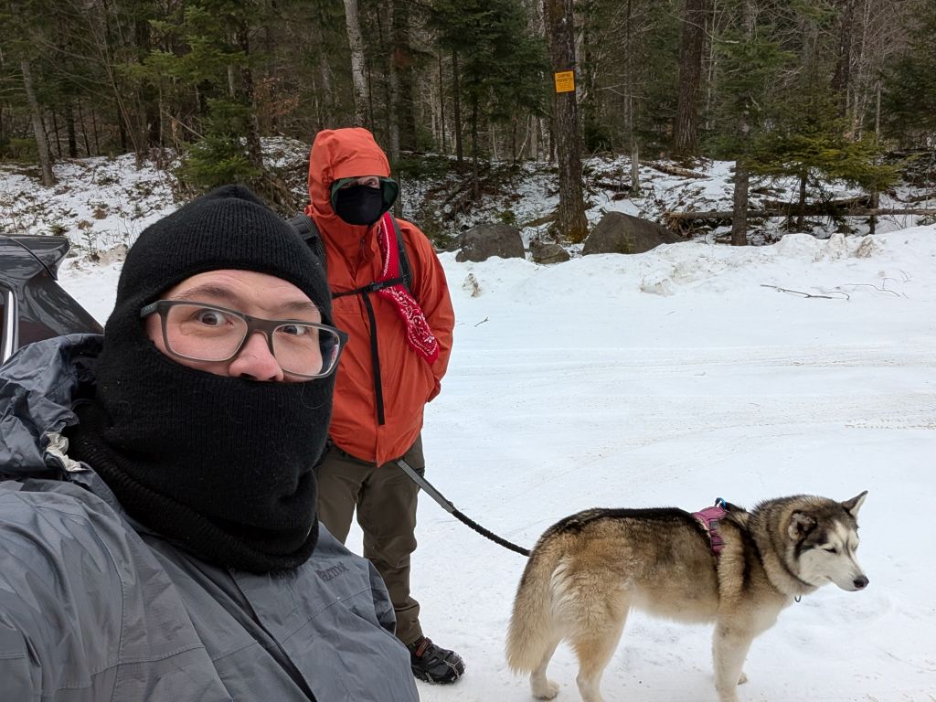
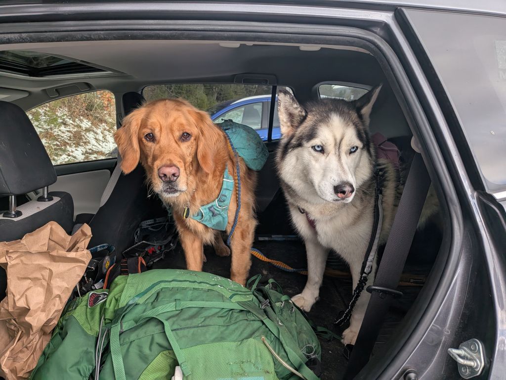
The wind was constant and the temperatures were in the mid-20s. We could hear much louder wind in the distance, blowing through the pass and over the mountain. We assumed the conditions were going to be quite different compared to our trip up Baxter. We dressed for the occasion, but we still left our snowshoes in the car. We were signed in at around noon.

The trail starts off as a wide snowmobile trail bordering private land. After a gated junction to that land, the trail veers right and gets more rugged. Since it was Winter and the foliage was gone, the mountain peeked out from the trees now and again, intimidating us.
We hiked past a stream and eventually crossed it later as the trail climbed the ridge in a single rudimentary switchback. As we climbed, the howling of the wind blowing through the pass to our left and over the mountain to our right grew louder and louder. It was awesome.

The mountain featured 1300' gain over the next mile or so after the switchback. I kept Sunny leashed for a bit so he could help pull me up the first, easier part of the climb. Here, the trail meandered straight up the right side of the drainage. It was a strenuous but fun climb. The wind howled louder than ever, but we were protected from it by the Western spur of the mountain. It was welcome, but ominous for what was to come at the higher elevations.
We reached the overlook before the false summit by 12:50. The location is 1.6 miles and 2550' and marks the point where the hike goes from difficult to strenuous. We took a beat here to rest a bit and catch some views of valleys and mountains in the distance and the summit above.
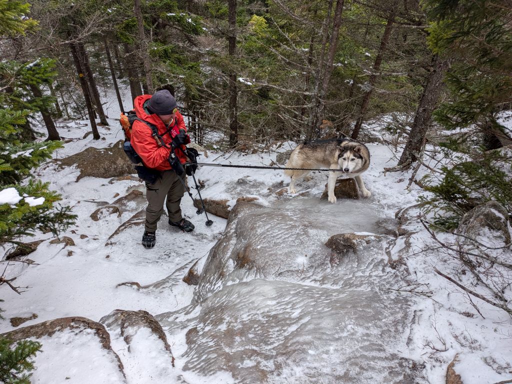
Unsurprisingly, the trail was dominated by ice. As with our last hike, many of the springs were still running warm, creating ice floes and slush puddles in our path. There was only snow in sporadic drifts, mainly between features blocking the wind.

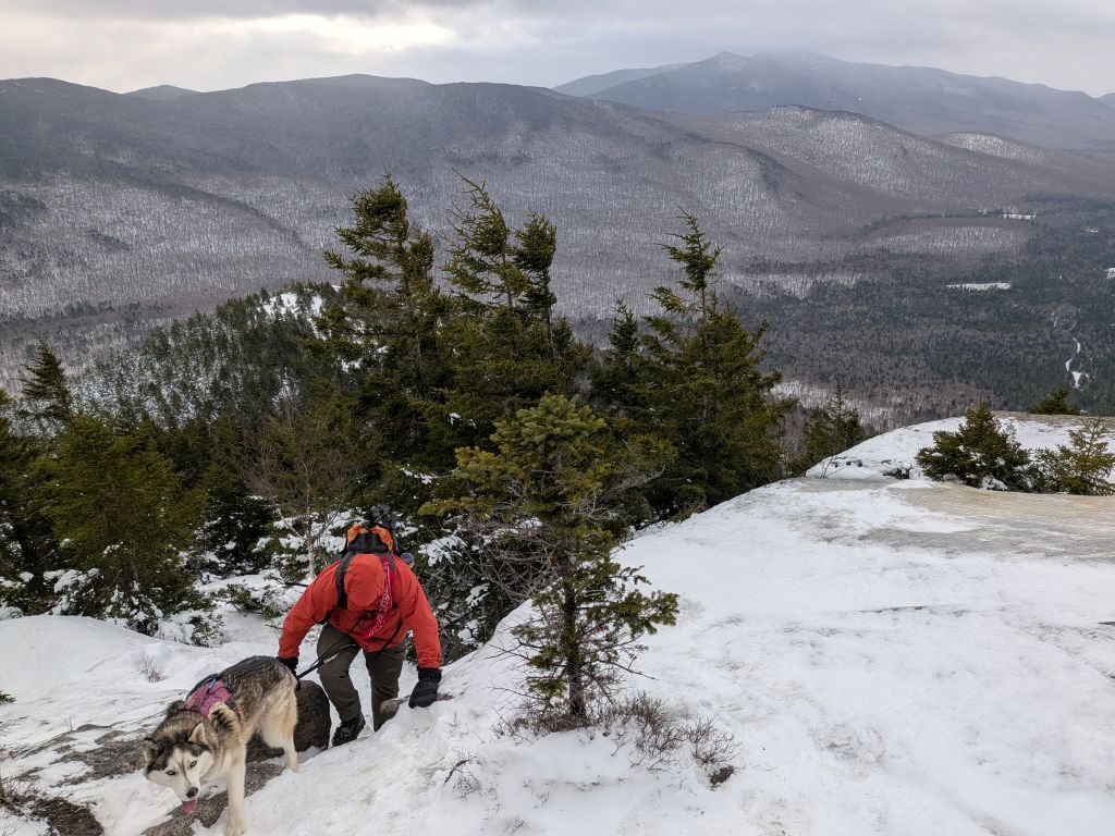
The trail was getting rough, with big boulders, lots of rocks, and evergreens clinging to the thin soil. This terrain was unsurprising considering the cliffs looming ahead.

Here we go...


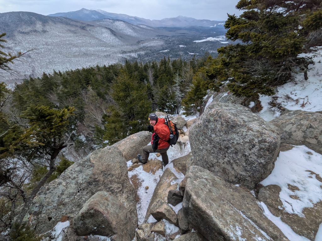
It was soon time to cut Sunny loose and negotiate the real climb. We took turns climbing up the chimney, me going first and encouraging the dogs while Jay did the same from the bottom. For the chimney, both dogs needed a boost. This would be the only time Korra needed a boost. After the chimney, there's a crack that was just wide enough for me to negotiate. The dogs had a fine time with it.
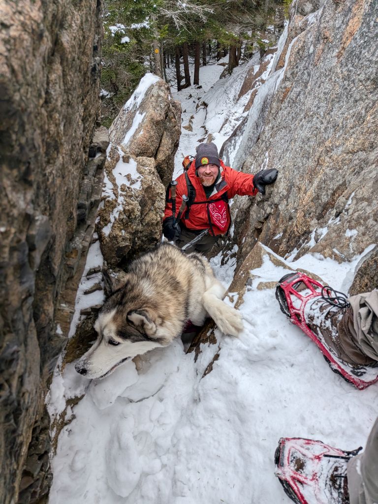
Jay and Korra negotiating the chimney.
The ledge past the crack is, in my opinion, the scariest one of the hike. The dogs managed it well and the humans were mostly ok. Honestly, I was a bit scared. I'm not sure how safe this hike will be in later months. We nearly turned back here, but there was enough bare rock and we had each other to help out if things got rough.

This is fine. Let's go!

The trail was still difficult after this, but never quite as scary. It was type 2 fun again as we climbed and climbed the rocks and ice.
We did face several more short cliffs, some of which were starting to develop a bit of packed snow to negotiate. However, most ledges were icy. Some of these I scratched up with my microspikes, hoping to make them safer to descend on our way back.


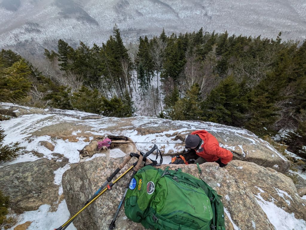
We crested the false summit at 1:30, an hour and a half after we'd started. We enjoyed the view for a bit and did some changing of gear. The wind was hitting us now and standing still made us quite cold. Keeping active was becoming an act of self-preservation.
Here, we were afforded a view of the true summit looming nearby. It was far more intimidating in person. More cliffs dominated most of the mountain's upper face, but a dark green drainage cut into the rock directly in front of us. I hoped that's where the trail went.

We passed another hiker who'd climbed ahead of us and she said the remainder of the climb was mostly exposed, but not as difficult as the climb to the false summit. She was half right. We faced more ice and rocks, but the trail did wind in and out of the woods, protecting us somewhat from the weather. The trail crossed over boulders and ledges, and up a few slabs, but it wasn't nearly as scary as the climb up to the false summit.
As with many challenging hikes, the difficulty of Catamount can be punctuated with frequent stops to look back and enjoy the view.

Good boy!


We achieved the summit at 2pm, two hours after we'd started. I was really impressed with both the people and the dogs. Sure it was only just over 2 miles from the trailhead to the summit, but it was an extremely challenging climb. Although it was overcast, we were fortunately not socked in. We got lots of great photos up there, however it was windy and cold. I had to switch to my winter mittens up there.

We had some concerns for the descent, particularly the ledge before the narrow crack and chimney. For the most part we did great, taking our time on the ice. The sun had peeked out and made for some really lovely views. We were tired, but in great spirits.
Jay gave his opinion of the adrenaline rush we were feeling at the time.
The dogs did great going down. I had issues as usual on some of the medium-sized jumps due to my height. For a lot of these, I had to sit and slide off instead of jumping. However, I did have fun running down some of the steeper sections. There is something to be said for the winter when you don't have to worry about every little root and rock. One of my knees got a bit sore a few times, but that's to be expected. We flew down the mountain otherwise. We left the summit at 2:25pm and were back at the car by 4:15.
That was a hell of a hike. Catamount is no joke. In my opinion, if you can hike Catamount, then you are probably ready for the High Peaks. The location of the mountain is also interesting. It is far North, a lonely sentinel out past Whiteface. I suspect the weather there can get very fun indeed. I'm just glad the trail is on the South side of the mountain and not the North.
We decided to head over to Big Slide for dinner and drinks on our way home. I had the fried chicken and grits which were incredible. Some pints were only $2 in celebration of the Winter Solstice which was an awesome bonus.
Congratulations to Jay and Korra for finishing their Lake Placid 9er. Sunny and I are three shy of the challenge ourselves. We've also been discussing looking at doing some bushwhacking and tackling the ADK Hundred Highest. Wendy gave me gaiters for Christmas, so that should certainly help with that effort.
Morning_hike_at_Baxter_Mountain.gpx (125.75 KB)