Dan and I made great time, packed up and ready to roll by 8am sharp. It was a beautiful day with some clouds in the forecast. We'd actually be avoiding nasty weather by escaping North today which was a nice bonus.
"Send a wire to the main office. Tell them I said... OW!"
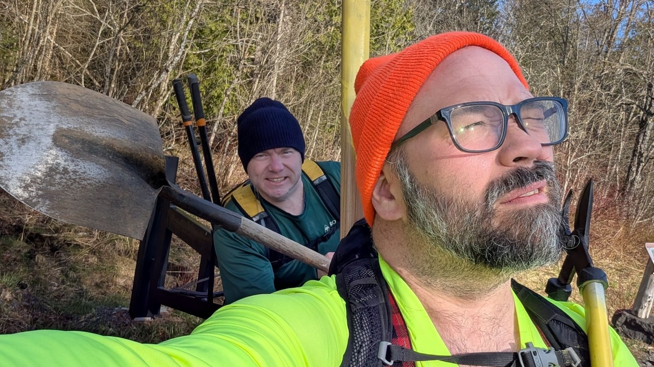
Dan was packing a shovel, bucksaw, and loppers. I brought my loppers, foldable pruning saw, hoe, and a 3.5-lb double-bladed axe I'd bought the day before. I still need to get a sleeve for the axe because I'm sure it did a number on my old pack. We both brought our water filters today, saving us a lot of weight in doing so.
Sunny would not be joining us today, I'm sorry to say, but I don't think he'd have been very much help and I wanted to get as much accomplished as possible.

There wasn't really a ton of maintenance needed for the 0.2-mile leg of the journey travelled by everyone using the Calamity Brook Trail towards bulk of the High Peaks region. The Hudson was rushing by happily when we crossed it.
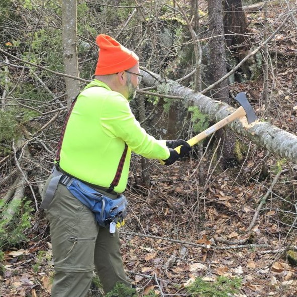

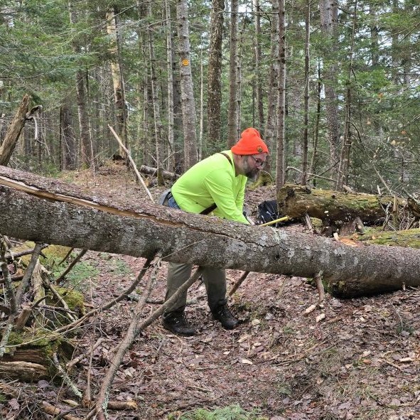
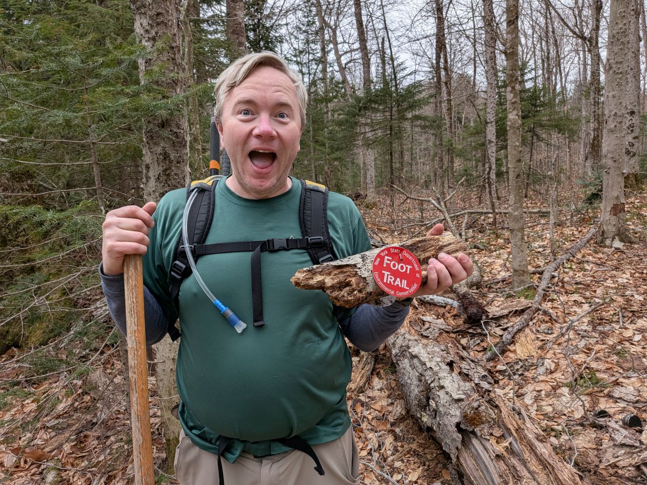
We actually did have a bit of a log to clear between the Henderson Dam junction and the Calamity Brook Trail junction. We probably could have handled this with the saw, but I was itching to try out the axe. It worked great. I'd never really used an axe much in my 47 years of life and I was a bit surprised how quickly we ate through the tree.
Calamity jct. to Duck Hole jct.
After the Calamity junction, the trail starts off soft and easy with actual grass underfoot through a hallway of evergreens. The mood of the trail changes pretty drastically shortly thereafter.
In my mind, our main focus today was reconnaissance and clearing major blowdown. I wanted to get to the end of the trail to get the lay of the land and work our way back. This was not to be, however. I was having a really hard time leaving the work behind.
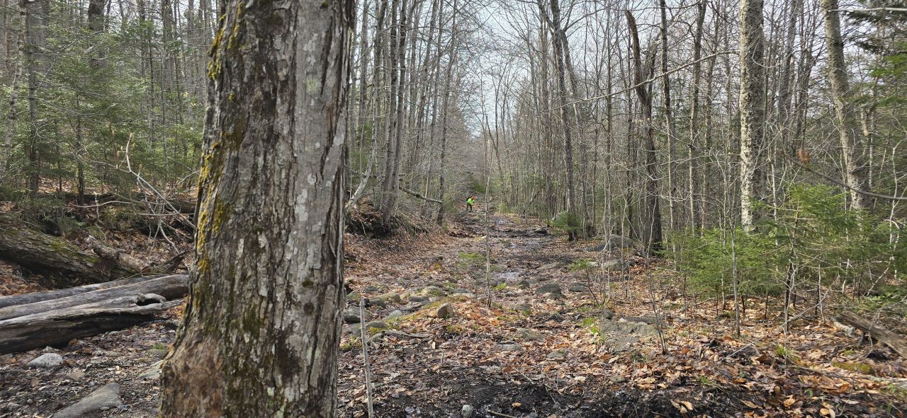
This photo that Dan took provides a great illustration of what much of the trail between Calamity junction and Duck Hole junction looks like. The trail is quite wide. I'd have guessed this was a road long ago, but if it was, it was a very long time ago. Even the 1904 topographical map at the USGS shows it as a trail. You can use this specific map link but it may not be permanent.
Parts of this trail remind me of how the Calamity Brook trail has been redesigned where the wide trail is still there and still muddy, but the part where hikers are meant to tread has been consolidated to a single hardened lane, slightly raised above the mud. This lane is interspersed with actual drainages where the water can run off.

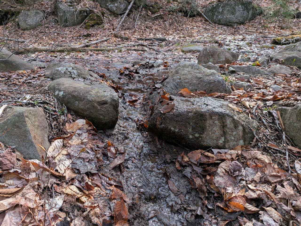
Here are some drainages from this section that we cleared out. In many places, they were backed up to the point where hikers couldn't really see where they were supposed to hike. I feel like it's a lot easier for them to see now.


Other parts of the trail are laid out in a less modern style with whatever stepstones could be maneuvered into position. Drainages in these parts were a bit more informal than in other sections, but I think they were true drainages. When we cleared them out, the water moved quite well.
However, I had a hard time deciding how far to pull leaves and gunk from because, honestly, the mud and leaves are kind of needed to help heal the trail; we aren't supposed to scoop and dig mud out. After all, hikers are meant to hike on the rocks and raised beds in these especially-eroded trails. Having said that, sometimes the stepping stones are few and far between and they seem more to be just exposed stones from the place they were laid by mother nature aeons ago (and revealed through erosion) rather than placed there on purpose by a trail crew.

There were a few ups and downs on this part of the trail as it meandered along and some of these higher sections were much drier. In one of these spots, we came across our next blowdown and this was a pretty big one which definitely warranted using the axe. Again, I was pleased with how quickly we chewed through it.

Victory!
We marveled at this erosion bar with a sluice cut into it.

We were nearly to the Duck Hole junction when we came across a reroute. When I say that, I mean I started working the trail past that point when Dan informed me that I was now maintaining not the trail. I'm not surprised the trail was rerouted to higher ground here; the mess beyond this point seemed quite nasty. I piled a bunch of sticks and logs on the South side while Dan did so on the North side. We arranged them in such a way that water could drain easily. I'll check on this again the next time we come through.

1.7miles according to the map (2.4 according to the pedometer) and 3 hours from the trailhead, we finally arrived at the Duck Hole trail junction.
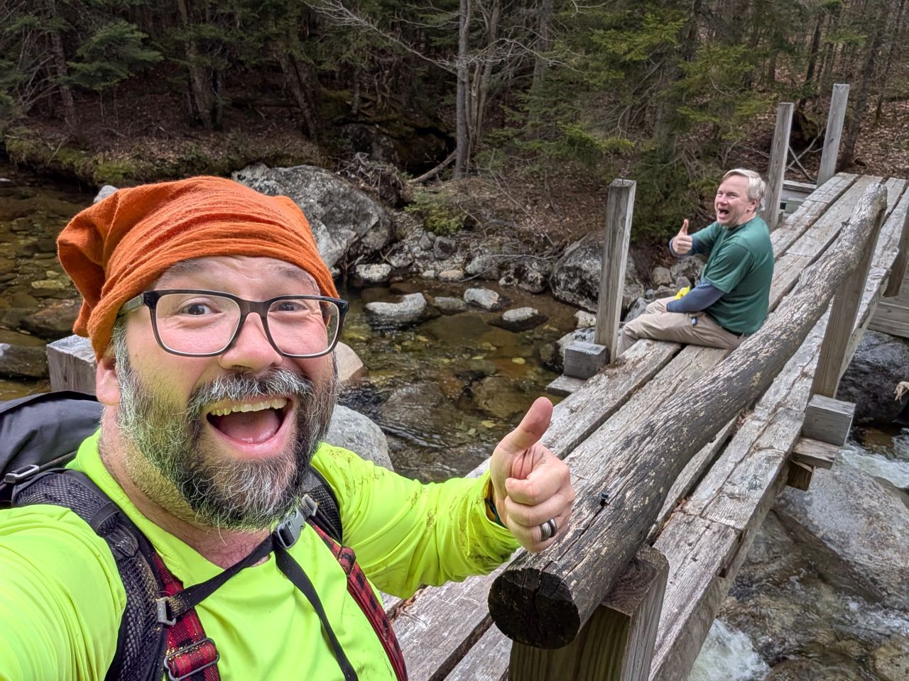
We went down to the bridge to have a snack and drink some water. We'd certainly earned the break but at this point we were still in pretty good spirits. We didn't tarry long because we knew we still had another three and a half miles of maintenance to do.
Duck Hole jct. to Wallface Lean-to

The trail was much firmer, drier, and less eroded after the Duck Hole junction. There were a few spots worn down to puddles, but it wasn't half as bad as the previous leg of the journey.

We quickly came to the Henderson "LEAN2".


Henderson Lean-to (not to be confused with Henderson Lake lean-to) is a great shelter. It's in fairly good shape (Dan said the North wall is a bit cockeyed) and has a lovely view of the trail and Indian Pass brook beyond. There is a well-used fire pit despite the admonition disc on a nearby tree and the structure itself.
I don't condone breaking the rules, but I also think banning fires on this trail and remote trails like it is fairly dumb. It's not a heavily trafficked area and there's lots of blowdown lying about that could stand some thinning.
I'd say you want to get your water from the brook because the little stream to the South is slow-moving and kind of passes close-ish to the privy.

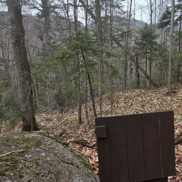
Speaking of the privy (or, if you prefer, the "2LET"), it's situated on a bit of a hike uphill (marked with yellow trail markers). Dan and I were both quite impressed with the location and condition of the thunderbox. It seemed like quite a lovely place to sit and think about your life choices.

Shortly after the lean-to, we came across one of the better swampy drainage locations we crossed this day. Dan remarked that the logs were situated in the correct direction (allowing the water to move freely downhill. We just had to scoop out some leaves and twigs and this ponding was greatly reduced on our way out. I may cut back some more of the foliage here so folks can better see the correct path through here.

This photo better shows what most of this section looks like as it meanders up and down parallel to the brook. It's kind of a lovely walk in the woods.
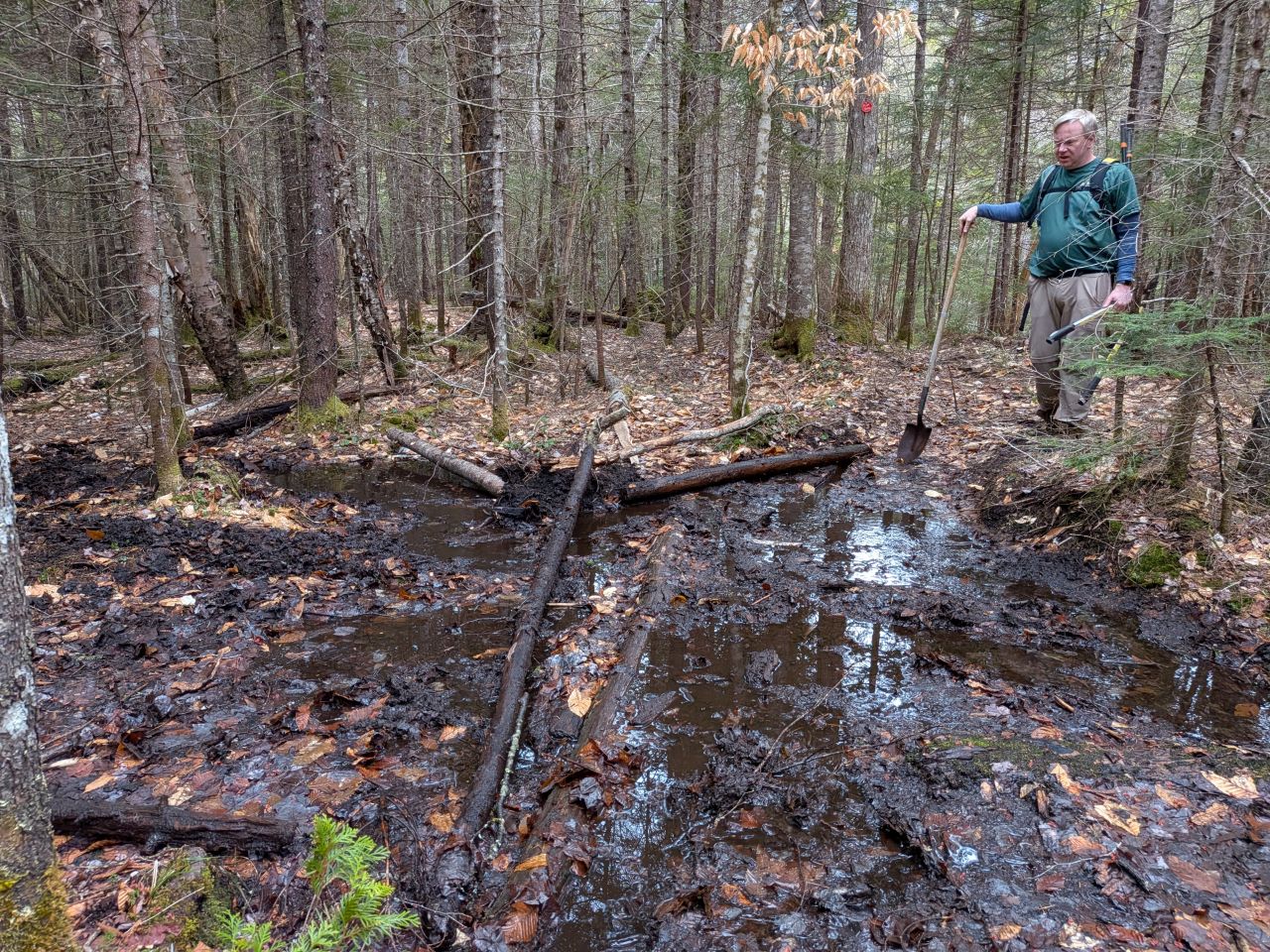
We did come across this mess. There are a couple of spots like this on the trail where someone has put a couple of logs across standing water. We believe this mud patch wasn't always like this; it was probably a lot more narrow, but someone put some logs here to cross it. There was no drainage to speak of regardless of there actually being a place for the water to go.
We removed one log and moved one back, then scooped out gunk on one side to allow the water to flow out. This picture doesn't show the final form this work took, but on the way back we saw a big improvement on the wetness of the area.
I personally think we should come back and just remove both logs, cut them into 4 pieces each, and lay all 8 pieces turned 90 degrees from their current alignment. I'm not sure if that's something we should do with our current remit, but it really seems like the right thing to do. I'm not sure how easy it will be with the logs being so waterlogged.

We passed the Calamity Crossover junction before noon and came to the bridge over Indian Pass Brook shortly after.

The bridge is definitely still out, but it was easy to ford today. I'm not sure if the brook would be easier to cross upstream or not. The brook is formed from two tributaries that come together a short hike uphill. Ostensibly, the two tributaries should be more shallow, but I don't know how difficult the terrain is to bushwhack.
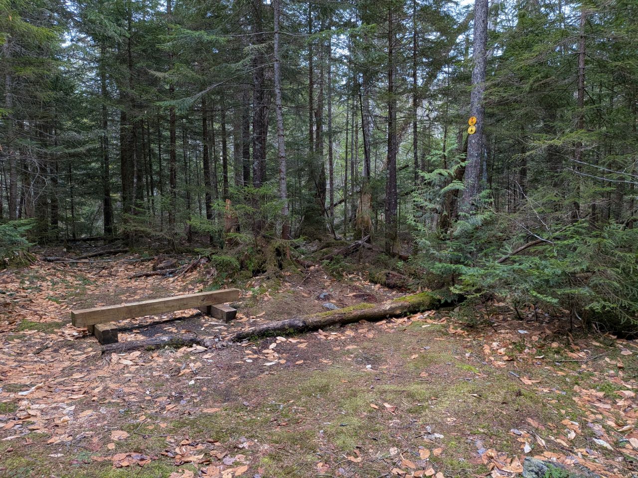
There is a designated campsite situated between the two lean-tos almost exactly two miles from the Upper Works trailhead. The site can probably fit three single tents. I'm not sure about hammocks. The tent spots are a bit wet right now. There are at least two other perfect campsites along this trail with "no camping" discs on them.

After this, the trail tried tricking us into thinking it would be dry and easy from now on. We weren't fooled!

The trail was gaining elevation, but there were still some flat, muddy trenches. Indian Pass brook growled to our right as we climbed.

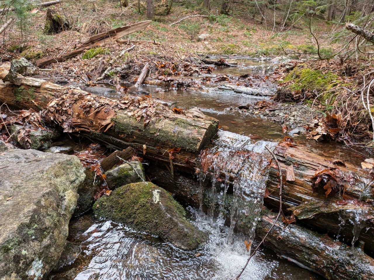
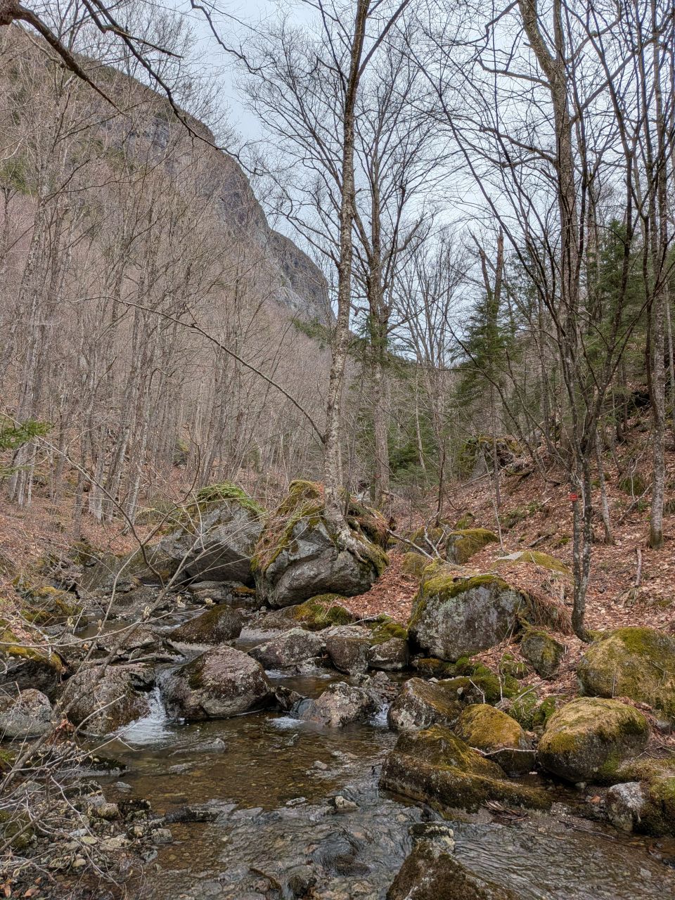
We heard some loud, rushing water through the trees and I had to go down to get a photo of whatever it was. I got some shoddy pictures from an easy vantage point. Then, I dropped my hoe in the water, so I had to climb all the way down to get it. While I was there, I figured I may as well get a nicer photo.

At great length, we came to the Wallface Lean-to. It was 12:30 and we were feeling fatigued. I was straight-up hangry at this point.

The lean-to itself is in pretty great condition. We were happy to take our packs and boots off for an extended break. I ate half my turkey wrap and some more Nerd clusters. I also put an electrolyte packet in one of my liter bottles; it was a cool 48 degrees Fahrenheit most of the day, but I was sweating from all the work we'd been doing.

The privy was in atrocious condition. The toilet was full, the door was off, there was a hole in the floor, and it had a weird mailbox full of used toilet paper. The privy is also oddly close to the shelter itself. I made sure to make use of the privy's condition in my report. Honestly, there's enough woods around that this could and probably should be replaced with a thunderbox situated much further from the lean-to.
Wallface lean-to to Wallface climbing trail jct.
Fed, hydrated, and rested, we left the lean-to. We discussed the possibility of ending our day early and I think we were both feeling like we wouldn't be making it all the way to the Cold Brook Pass Trail. Considering all the work we'd already done, I was feeling okay with that.


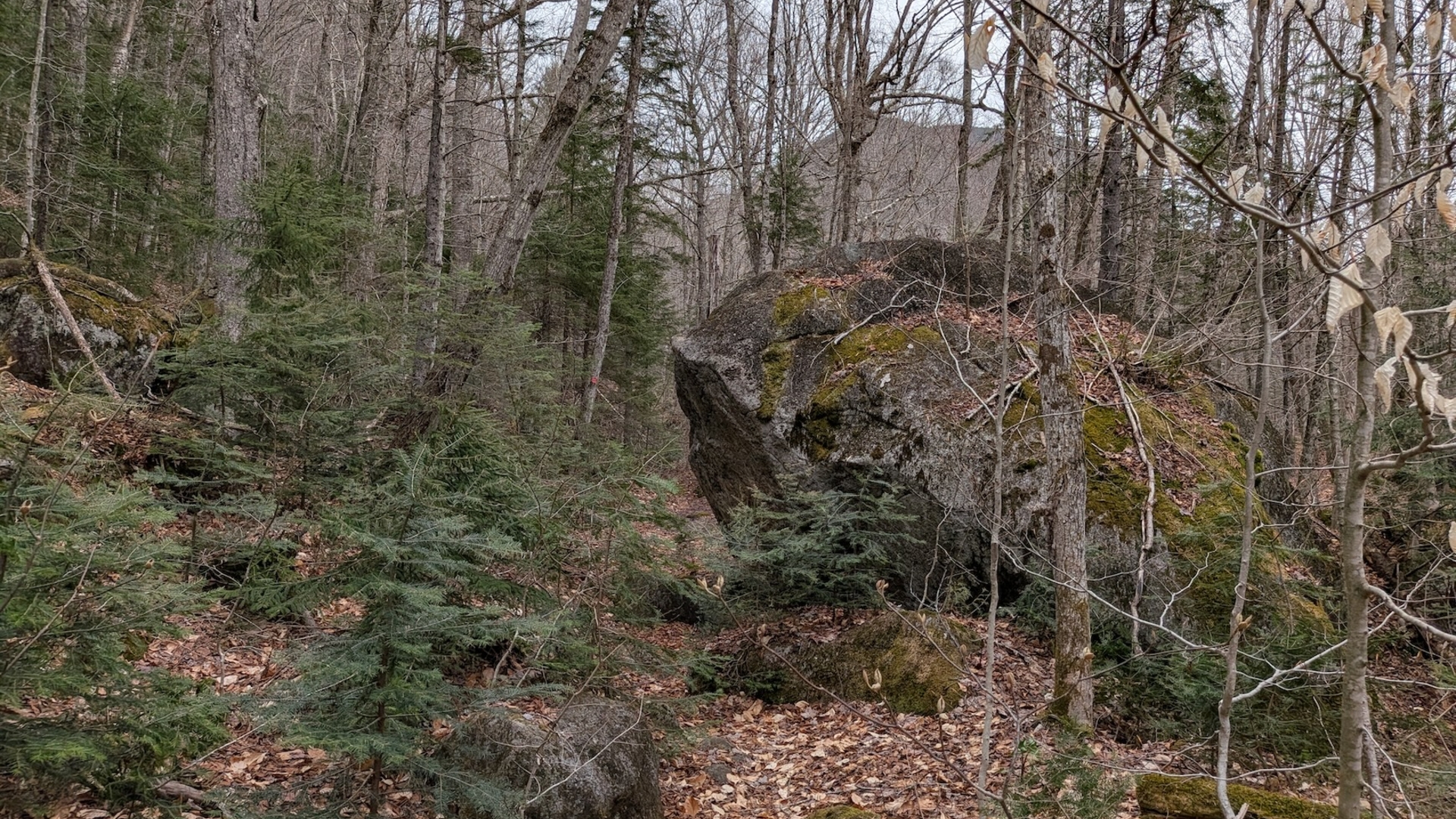
After the lean-to, the trail climbs along fairly close to the side of MacNaughton Mountain's Southeastern feet, sandwiched between the mountain and the brook. This section is rocky, fun, and pretty.

There are lots of big boulders here. I suspect that these are just as likely to have rolled down the mountain as they were to have been placed by a glacier.
This section North of Wallface lean-to is in need of some trail marker replacement. It seems like several are missing and we also have a few stream crossings with no guidance.

There are quite a few little streams coming down from MacNaughton here, but they're not bad crossings for the most part.

As the trail bends away from the mountain, it passes through flatter terrain where two tributaries come together and the standing water is more prevalent. Some of it can be drained, but other sections have no place for the water to go. Some places could stand to have more rock work to make them more passable. I mentioned this in my report, but I think I'll make a more concise list with detailed suggestions in the future.

We saw evidence of beaver activity in this swampy area.

There were a couple of spots where a large log had fallen along a place where water had once drained. I'd like to come back and clear these away at some point to allow the water to flow away more easily again.

There is a messy section here where the trail is wide and muddy with lots of standing water. One part has been redirected around the messy part, but the trail markers showing the detour aren't really visible and the old trail hasn't been barricaded much. I'd like to come back to re-mark the entrances to the redirected trail and add some logs and brush to the old trail.


There were a few more sections with erosion bars holding back standing water and blocking it from draining downstream. Dan worked at clearing these while I cut back encroaching saplings and bushes. These drainages still need more attention, at the very least cutting sluices into the erosion bars.

We were nearly out of the swamp when we came across a nasty blowdown. There was a clear herd path bypassing the blowdown. We stopped to clear the mess. Since the blowdown consisted of 3 or 4 smaller trees, we tackled it with saws and loppers instead of the axe. Every piece we cleared away got piled into the herd path. It took us thirty minutes to clear this blowdown and we were dog tired when we were done.

After that, the terrain started climbing slowly over rocky terrain as the valley narrowed once again. There were some opportunities for minor drainage clearing, but the trail work here was mainly a bit of minor side-cutting. For side-cutting, I took Dan's philosophy of considering the difficulty of carrying a rescue litter down the trail.

Big rock with a stream coming out it is a pretty sweet aesthetic.

Three eras of trail markers in one shot.

We finally arrived at the Wallface herd path junction at 2:45. It was at this point that we decided it was time to call it a day. We put a ton of work in today, but we weren't feeling a 600' climb to the high point in the pass followed by losing 400' down to the Cold Brook Pass junction, then climbing back up the 400' again.
We took a break to eat some more calories and filter water. The brook was still moving quite well at this elevation and it was both cold and delicious.
I'm not sure what to expect from what's left of our trail. I wouldn't expect to need to do much more in the way of drainage work because the pass narrows quite a bit as it climbs to its high point. However, looking at the map, it does describe a swampy area between Summit Rock and the high point of the pass, so we may yet still have more work cut out for us.
Fruits of our Labor
We packed up and headed back just after 3pm. Shortly after starting back, we came across a couple of young people heading up the trail.
They'd showed up at Upper Works at around noon with the intention of driving up the "road" to Colden Dam so they could hike Marcy. Much to their chagrin, they found out this was a trail rather than a road. A man gave them a map and said the Calamity Brook Trail was boring and they should hike up Indian Pass Trail instead. That guy, we told the kids, is an asshole. Good on him for giving them a map, but wow.
They had made it to this point in two and a half hours so they were moving pretty quickly. I pointed out that they could bag Marshall if they were quick. Barring that, if they wanted, they could hike through Cold Brook Pass to Lake Colden to take some pictures and head back on Calamity Brook Trail.
Dan asked them if they had headlamps. They did not. I gave them mine. We would easily make it out before the 8pm sunset. We weren't so sure about them. We hoped they'd go up to Summit Rock and head back, but they'd at least have light if they decided to send it.

We'd been looking forward to the hike back because we wanted to see the fruits of our labor. Dan said we'd utter the phrase "How did we miss that?" at least once and he was genuinely correct. Still, we could see the drainages were much healthier now all up and down the trail with a lot of the standing water either drained away or lower by inches. It was clear we had more work to do on this front, but it was definitely a lot better.
We made it back to Henderson Lean-to in a little over an hour. There, we took a break from 4:20 to 4:50, eating more snacks, drinking more water, and just enjoying the spot.
We signed out at the trailhead shortly after 5:30. Looking at the log book, the two young folks we'd seen earlier hadn't signed in at the register. I signed them in.

Back at the car at 5:40, I stripped off my pant legs and socks, then replaced my shirt with a fresh, dry cotton tee. It felt so good to be dry again. I all but begged Dan to agree to stop and have a proper meal on the way home and he kindly acquiesced. We stopped at Adirondack Pub & Brewery in Lake George which is one of my favorite spots. I got the ribeye and it was incredible. Even bad food can taste good after a strenuous hike, but great food is transcendental.


Veratrum and Yellow Trout Lily
I'm grateful that Dan joined me for this task because I'm pretty sure I wouldn't have gotten much done otherwise. The trail definitely needed work and still needs work. So far, however, it's not really as terrible as rumor has made it out to be. Still, we have a little over a mile of trail left to explore, so the jury is still out on that one.
This isn't the easiest trail, but I definitely feel like we're making a difference out there. I'm proud of the work we did and I am actually looking forward to heading out again soon.
Route Map
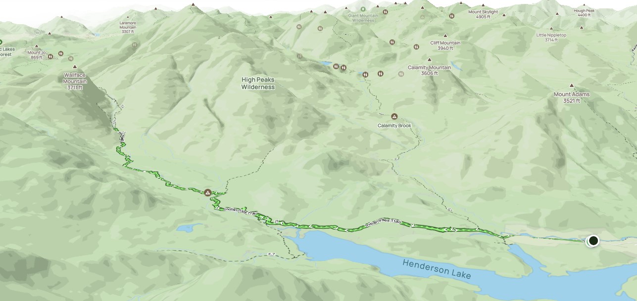
Afternoon_hike_at_Adoptatrail.gpx (358.56 KB)