


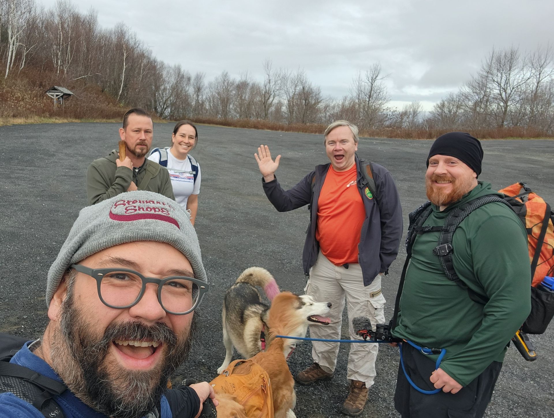
We all agreed to do a quick hike from Rt 2 to Snow Hole, a 6 mile out-and-back in Rensselaer County. With rain forecast in the afternoon, this seemed like just the right thing. We met at the Petersberg Pass trailhead lot at around 8am.
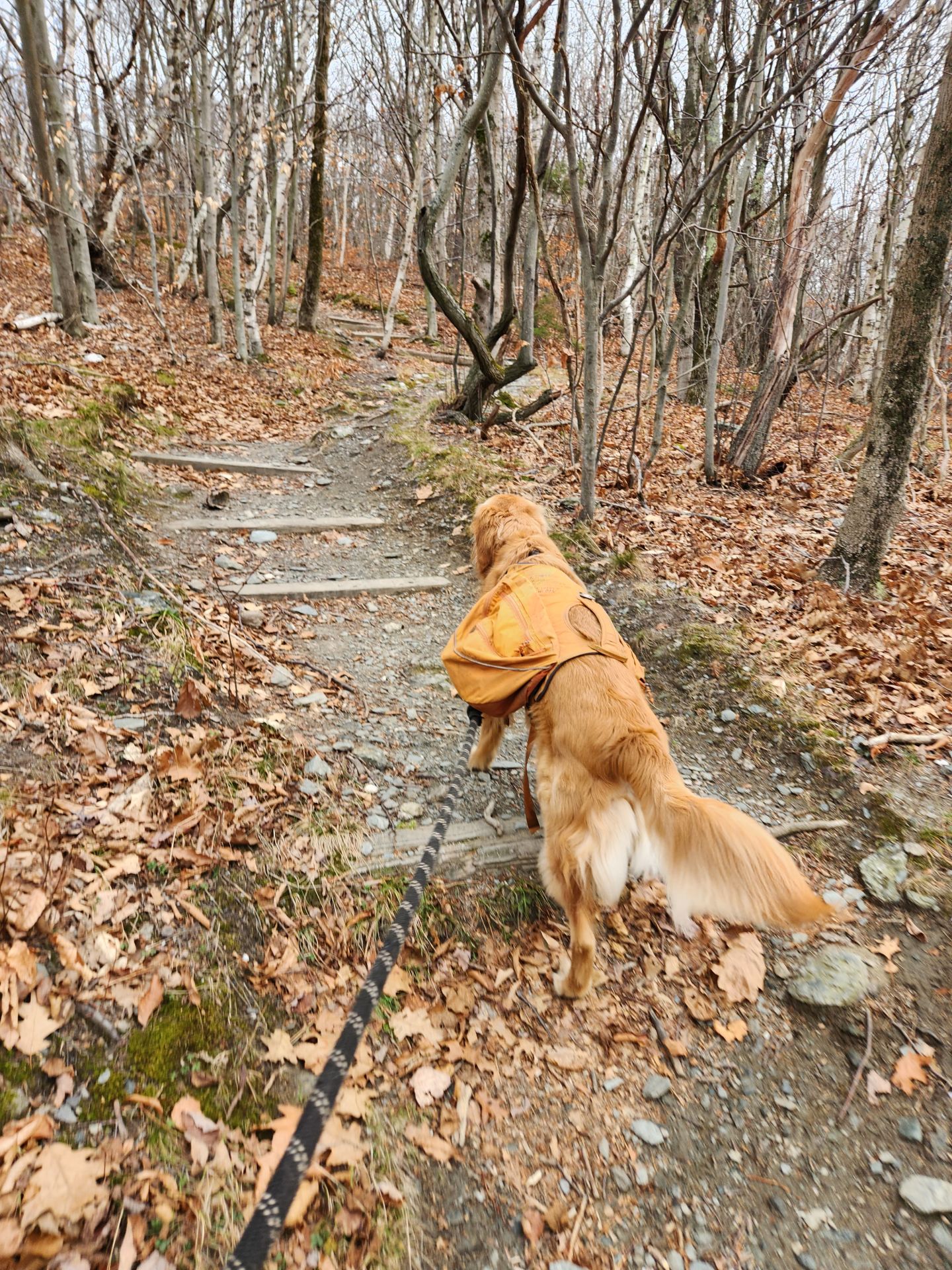
The trail was extremely well-maintained, wide, and clearly marked. I'd be very disappointed in myself if I got lost on this trail.

This part of the trail is called White Rocks with a little peak later named White Rock, and I'd suspect they're named after all the Quartz you can find all around the ridge here. It is very pretty to look at and stands in stark contrast to the fallen leaves and remaining greenery.
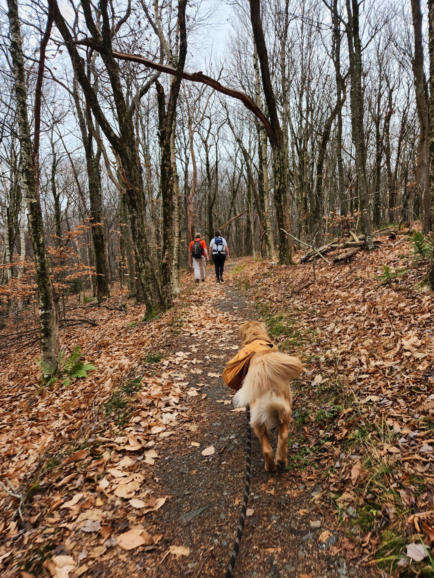
Sunny was very excited to be among so many friends on this hike.
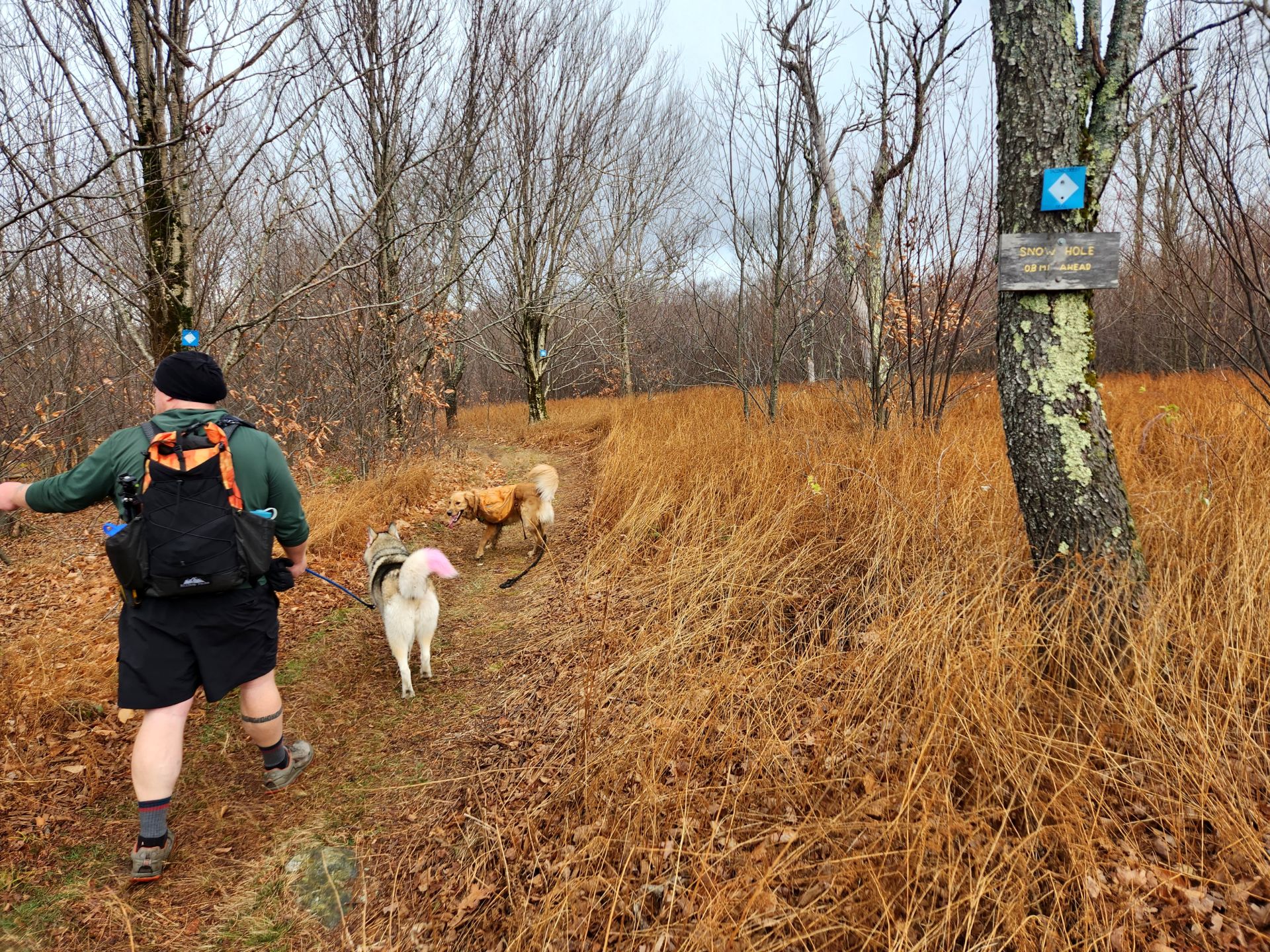
Although he did sometimes get annoyed when Korra tried to lead. What a mysogynist.

There were some interesting experiments or something set up throughout the early part of the hike. I'm not sure what they were. We suspected it was some kind of tick study, but I'd be interested in hearing if anyone had an idea.
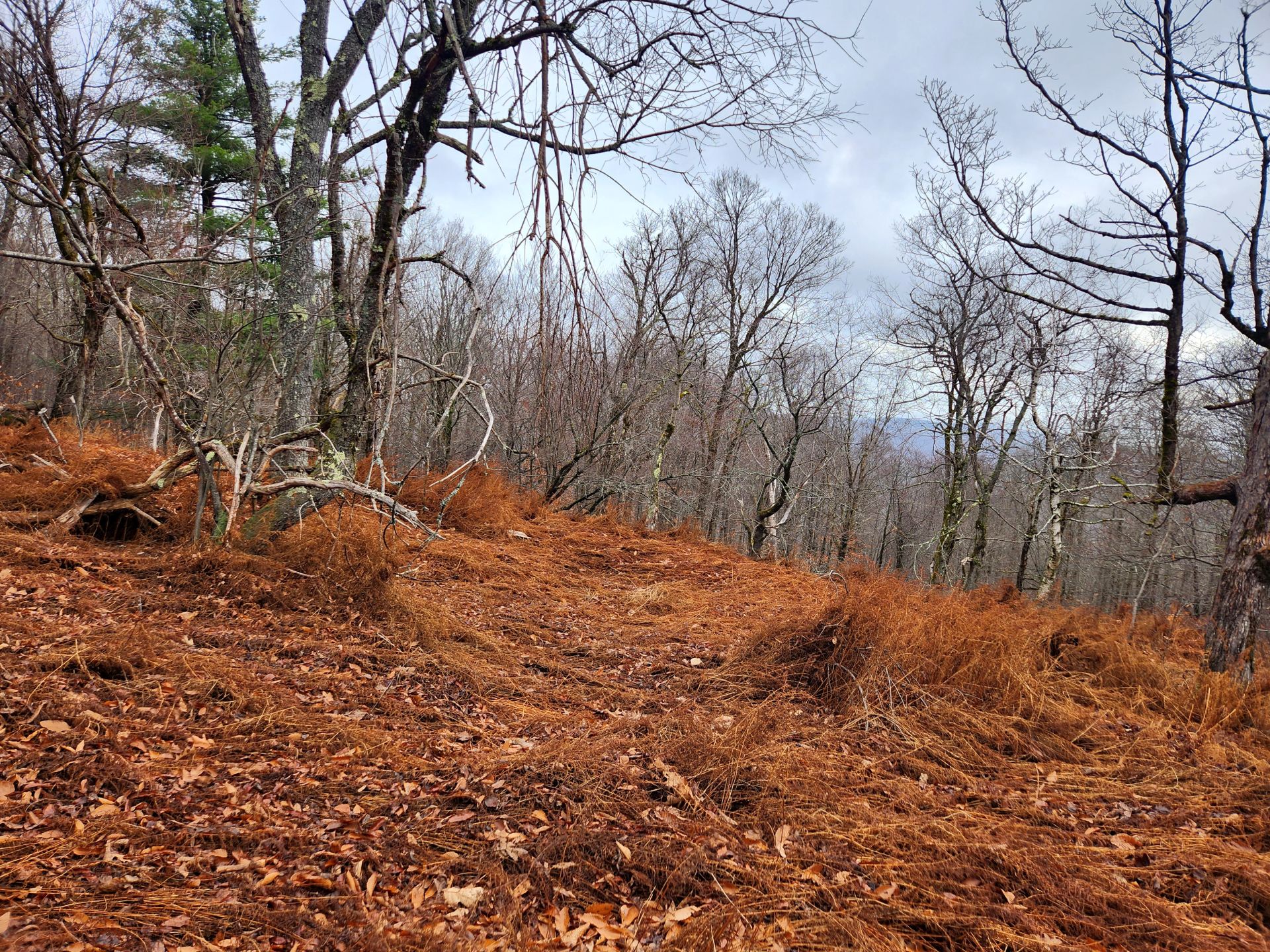
The terrain was very different from the North Country. Of course, it reminded me of my old stomping grounds in the Troy hills. This shouldn't come as any surprise because its the same ridge and the same fault line. There was shale everywhere and the kinds of trees and grasses that don't mind that kind of purchase.

Sunny inexplicably found mud.

The views were a welcome hit of Good Brain Chemicals despite the late season.

Puppy hugs exponentially enhance the GBCs.
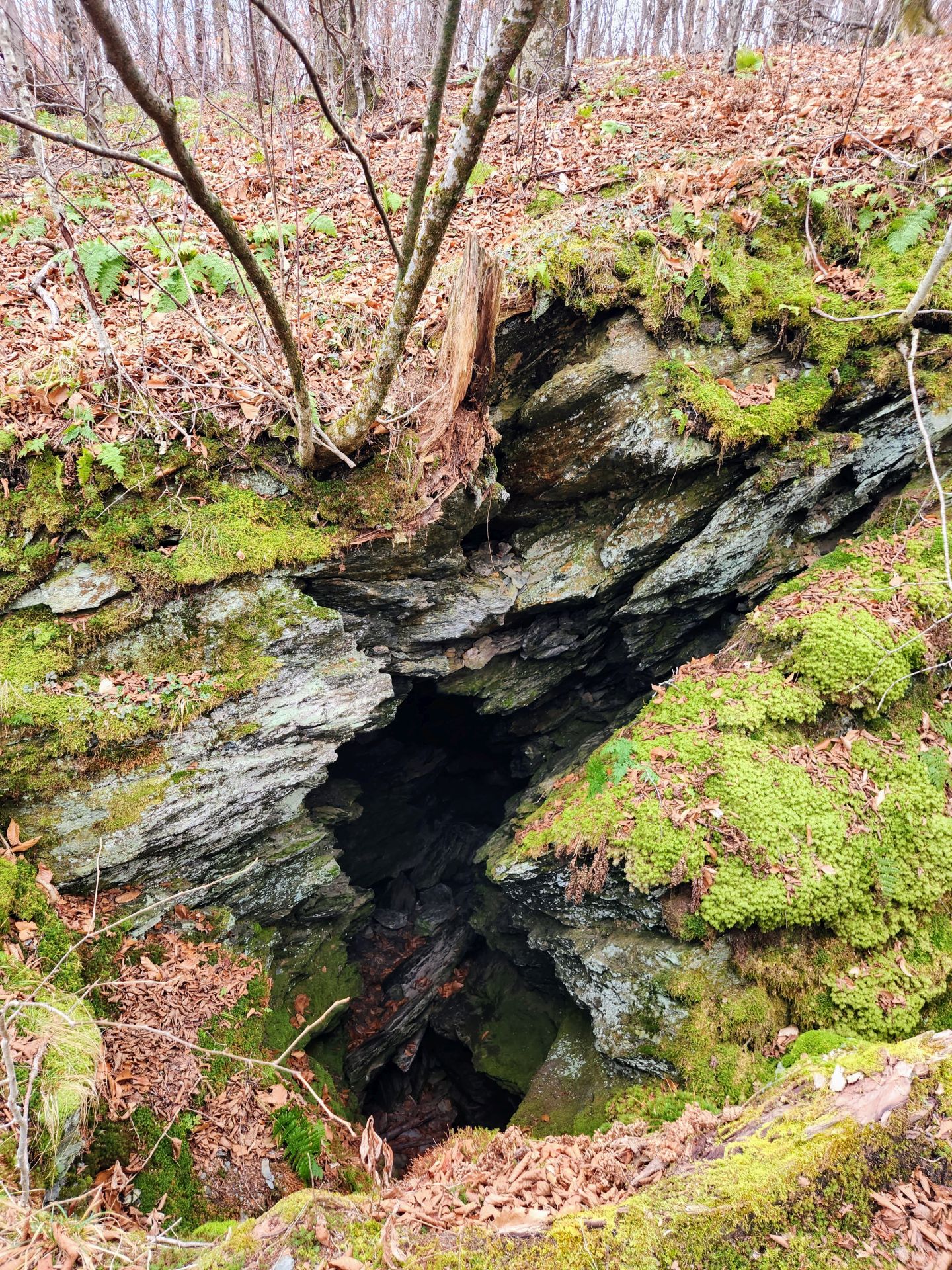
We found a hole...

But no snow!

Sunny isn't too sure about hole, but he stood for a magnificent pose...
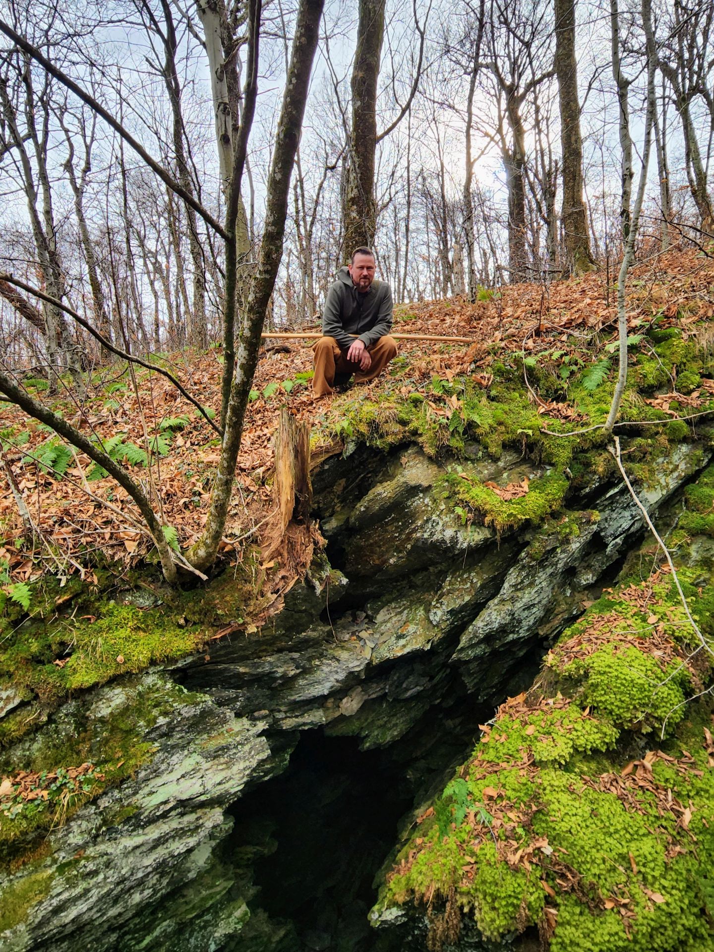
...as did Jorel.
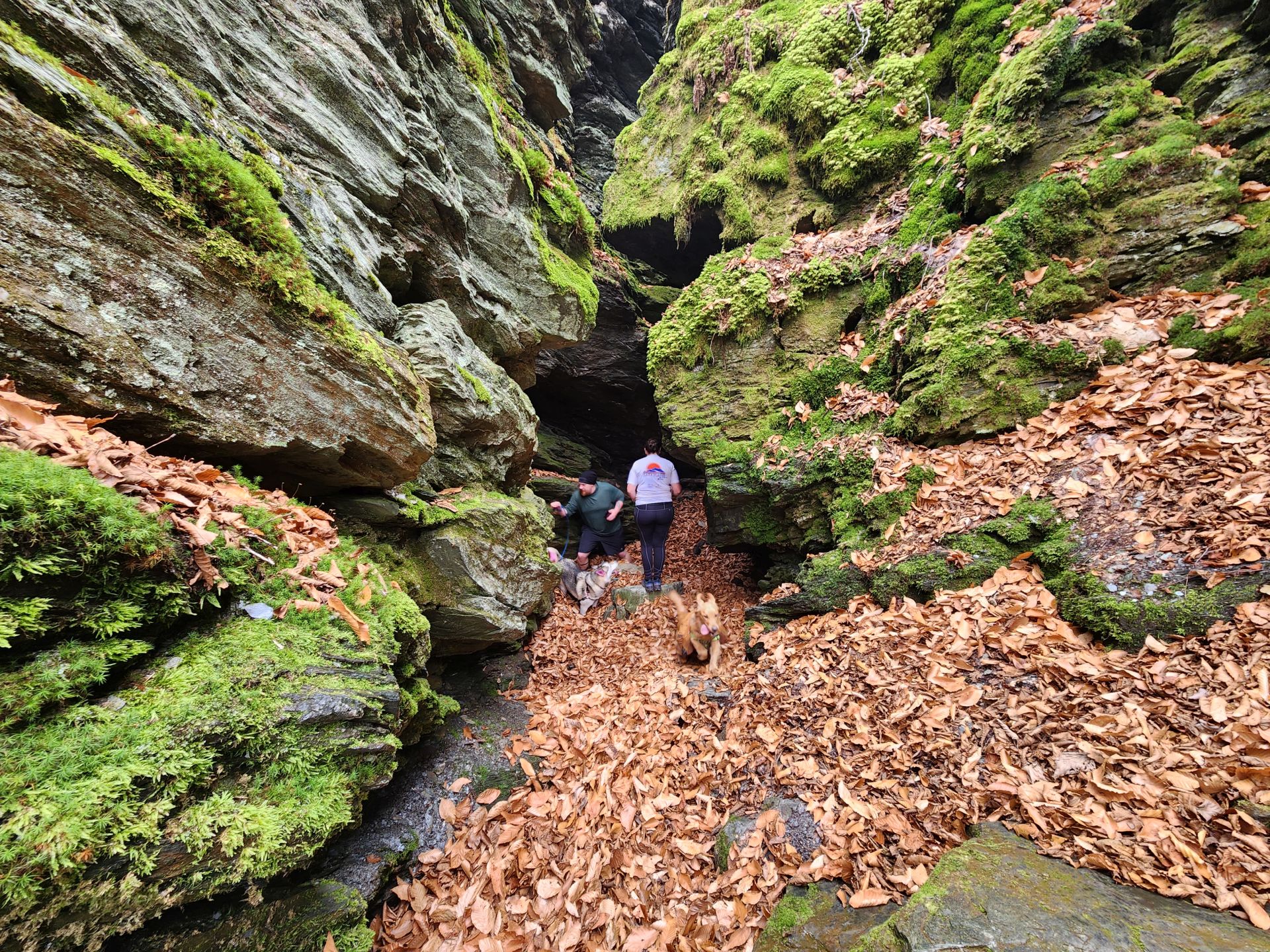
It was very cold down in the hole. Jay says he's been here twice before, one time in June, and both times there's been snow here. Today there were leaves and ticks!

And love...

Sunny found the perfect golden shot...

You can really see how this trail is perfect for a quick day out. We saw several kids and older folks out and about today.

We relaxed and took in some more views on the hill near the trailhead at the end of our hike...

also displays of affection...

and exercise...
That was a fun morning out in the woods. It's a ridge walk, so there were lots of ups and downs but this part was mostly up on the way there and mostly down on the way back. Our friends said that the entire trail is quite challenging, due in no small part to how little flowing water there is. Keep that in mind and don't let my characterization of this particular hike color your impression of the entire range.
I noticed that, this time, I had my phone's data turned on the entire time. I believe that losing and regaining signal kind of messed up my tracking more than if I just had Airplane Mode turned on.
It was a good time with friends and I was glad to try out a new spot that reminded me of home. I'm looking forward to getting back North soon, though.
Route Map

The out-and-back route begins at Petersburg Pass on Route 2 and follows the Taconic Crest Trail south across the ridge toward Snow Hole and White Rock. The map labels White Rocks at 2,316 feet, Smith Hill at 2,307 feet, and White Rock at 2,543 feet. The recorded track is approximately 6.8 miles round trip, ranging from about 2,060 to 2,535 feet, with roughly 1,730 feet of cumulative elevation gain.