
Herd Path to Shelving Rock Climbing Wall
The electronic maps online including both AllTrails and Trailforks show a herd path leading to a short peak adjacent to Shelving Rock Mountain. Trailforks actually shows several climbing walls there and they are a very short bushwhack to the Ridge Trail. I know that the Lake George East shore terrain can be very erratic, but I decided to risk being cliffed out in order to see these climbing walls.


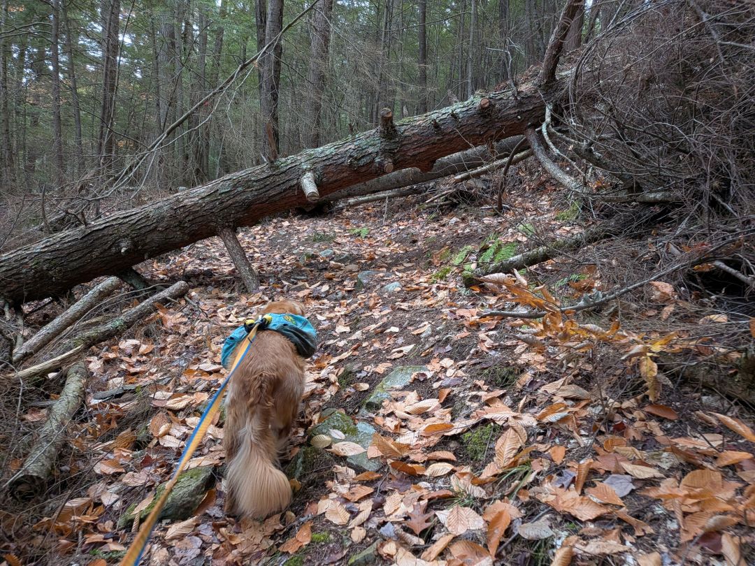
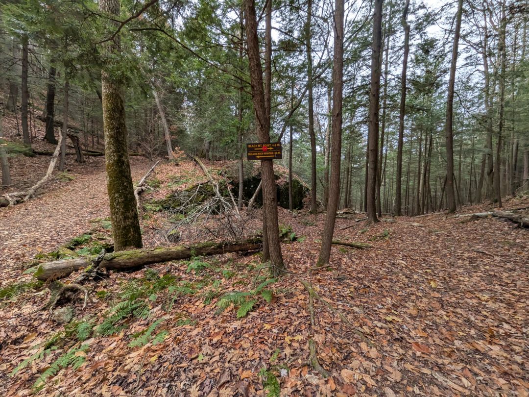
The herd path to the climbing walls is just past the first junction. Some cut logs are pushed aside (at least for the time being) to mark the trail. Even if someone obscures it, you should be able to find it using GPS.
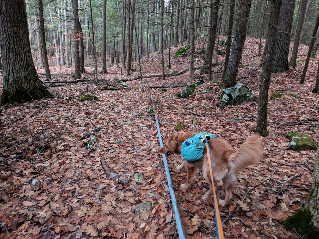
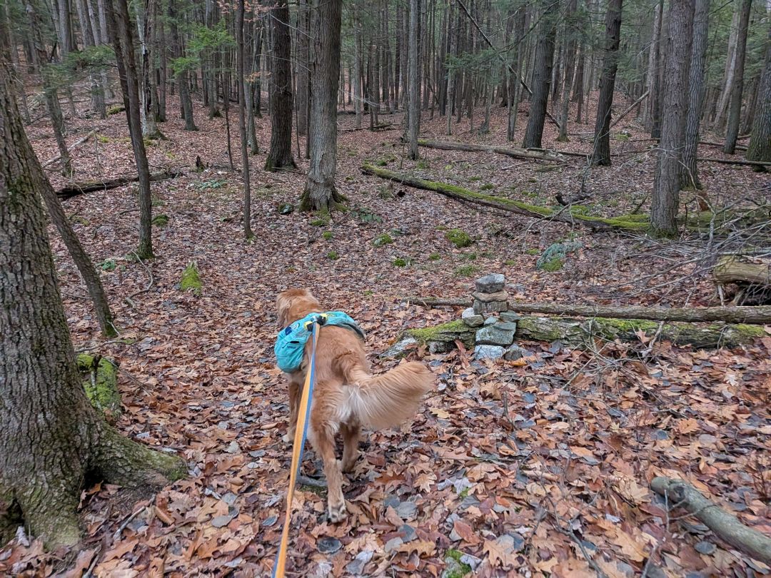
The trail first follows some pipe leading to what I assume used to be a shelter of some kind or a spring. I wouldn't even rule out electrical. There's so much old infrastructure throughout the Lake George area that it's hard to say but easy to speculate on these things. The pipe leads to a cairn and the trail proceeds flattish after that. It's a little hard to follow at first, at least in late Autumn, but as the trail gains elevation, the erosion gives it away easily.

The trail leads to the Western edge of the wall and affords a brief obscured view of Sleeping Beauty.

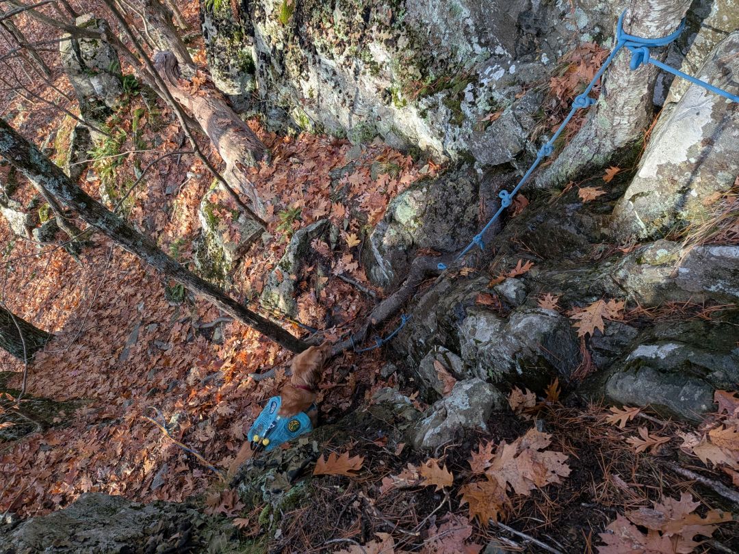
There's a bit of knotted rope tied off on the Western side. This crevice is the easiest point to ascend here on this side; the wall does continue on North a bit from here, but is also thick with vegetation. I climbed up the wall here much to Sunny's dismay. His barking echoed throughout the forest.

The view from the top of the headwall on the West side offers a slightly obscured view of Lake George, Buck Mt., and Shelving Rock Mt. I didn't explore much from this side because Sunny was still losing his damn mind, so I headed back to him.
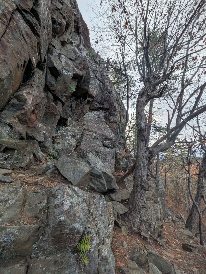


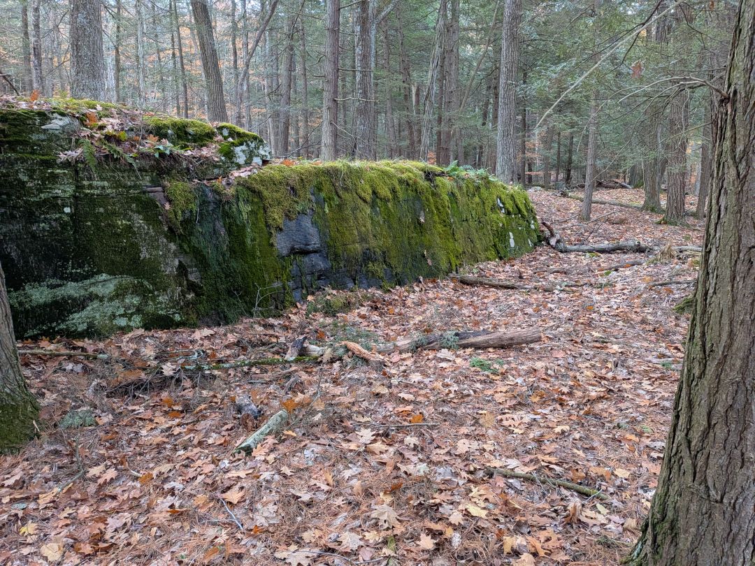
We headed back West along the exposed headwall. It was a pretty impressive sight. There's a clear trail along the broken boulders at the foot of the wall. If you come here, I recommend following this path. Further down the ravine is full of scree and vegetation.
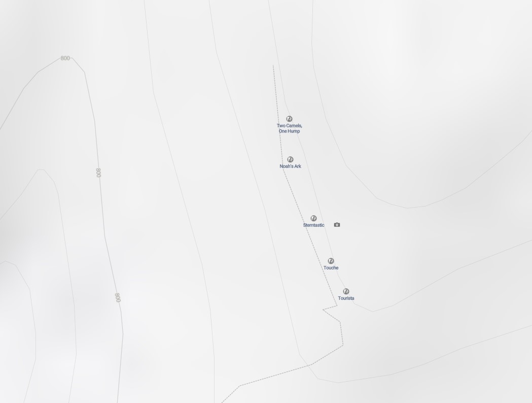
This screengrab from Trailforks for the location of this wall. There's not a ton of information about this one. I think it might be because Shelving Rock Mountain itself has a bunch of climbing on the West side (the Main Wall) with very open clear views of the Lake. There's tons of information online about that one. The wall we visited on this day is on a smaller peak East of the main peak.
I'd definitely like to head over to have a look at the Main Wall another day. According to the maps, there's a herd path leading there from Lot #5.

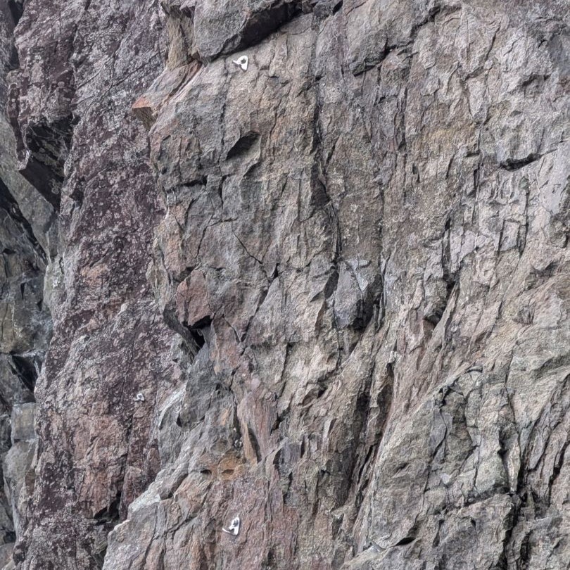
Even though this is a lesser-known wall, there's still some equipment anchored into the rock.

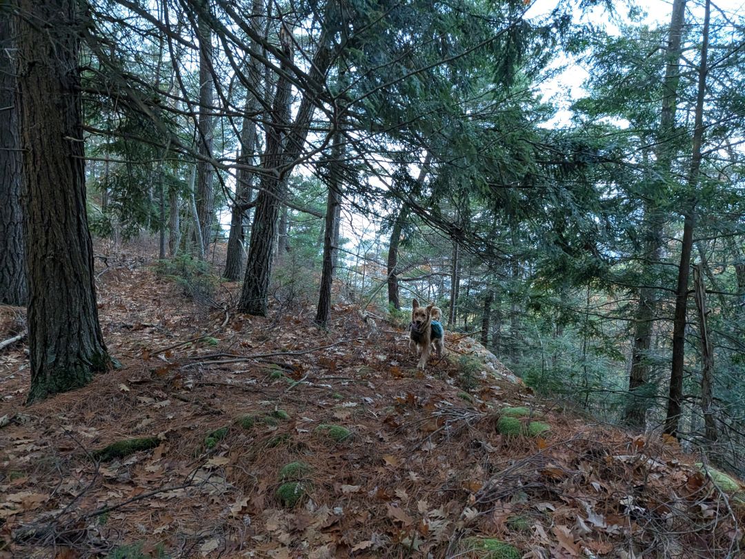
Sunny and I followed the trail around the West side of the peak. Here, the terrain smooths out and offers the perfect place for hikers and dogs to climb up to the top easily.
The views from here are fairly nice. The one pictured above isn't the clearest view; there are several spots where you can sit and have a snack on the ledge, presumably where the climbers reach the top. This really is a great, little spot with good views for minimal effort. I'd say this is a good option for a hiker that wants to avoid the crowds on Shelving Rock Mountain.
Ridge Trail
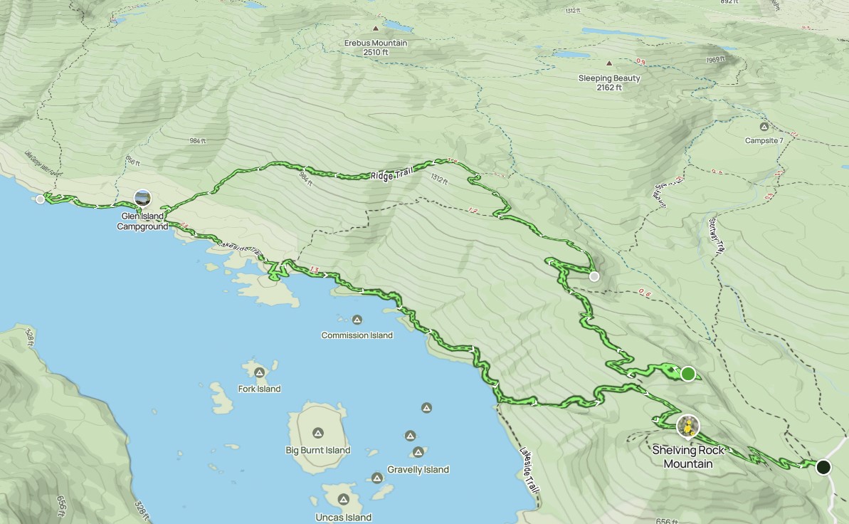
According to the maps, both the Ridge Trail and the Lakeside to Shelving Rock Trail were a very short bushwhack away from our current location. I'd decided we would take the ridge trail to Black Mt. Point, then return along the East Shore Trail, so we set off downhill North.
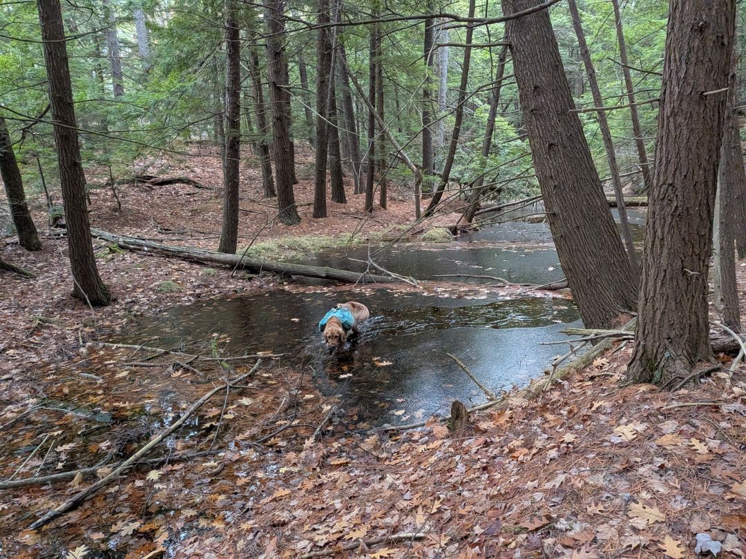
We quickly came to the first of many vernal pools we'd pass today. These, along with the multiple gurgling streams we crossed, Sunny had plenty of water today. Some of them did feature a thin crust of ice.
It wasn't long before we'd descended to the trail. Many of the trails up here on the East side of the lake do double duty as a horse trail or snowmobile trail
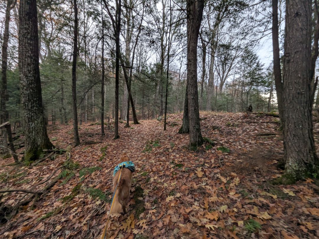
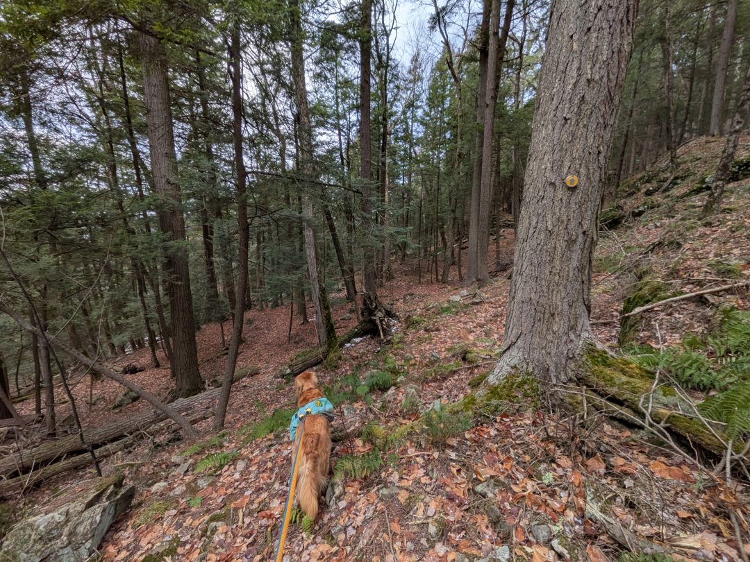
There are some ups and downs along the ridge obviously, but I wouldn't call it challenging, really. It's quite pretty up there and you get a few peek-a-boo views to the East from time to time.

Although the trail is easy to follow and well-maintained, there's still some blowdown along the way. There were two places today where a very large tree had fallen and the branches had been trimmed off, but the trunk had yet to be cleared. The brush here isn't very thick, though, so it's easy to go around if needed.

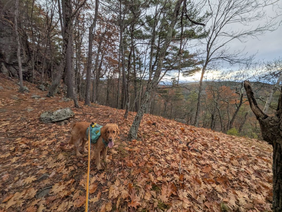
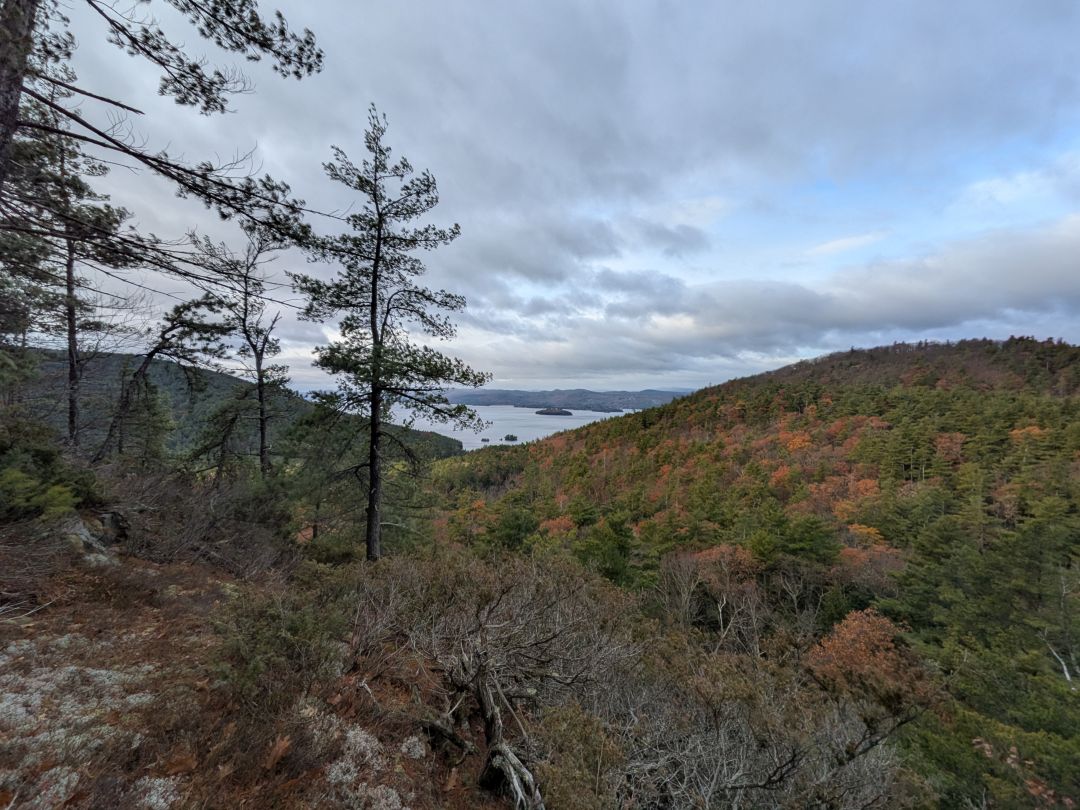
After a little over half a mile of ups and downs, the trail comes to a switchback that climbs to the top of another little peak with an exposed ledge. It's quite pretty up there and affords some great views to the West. We could see climbing walls to our right and Little Buck to our left with Buck beyond. Shelving Rock was hidden behind the climbing walls.
The spot I took this photo from is actually 20 feet taller than Shelving Rock Mt., but it has almost no prominence to speak of, so it doesn't have a name. You could probably say it's really the leading edge of the Southwestern spur of Erebus Mountain.
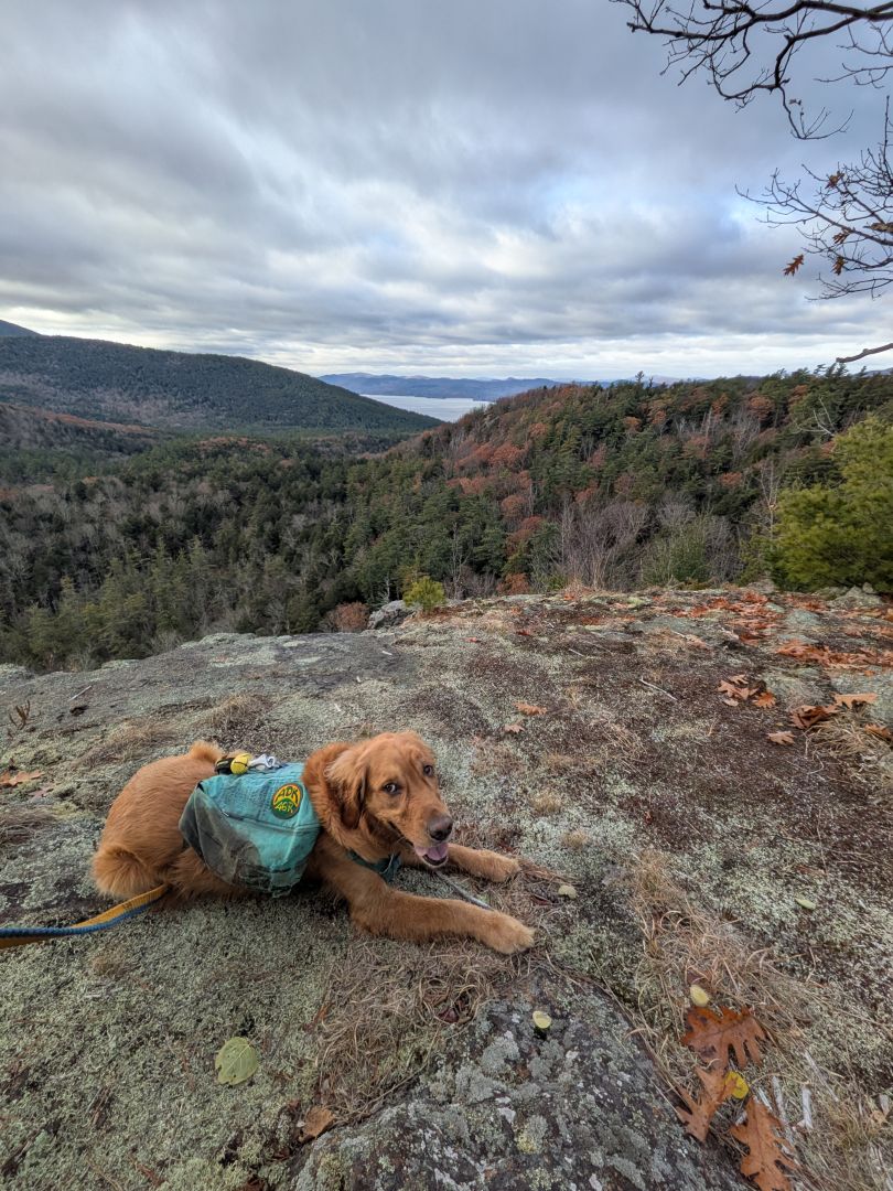
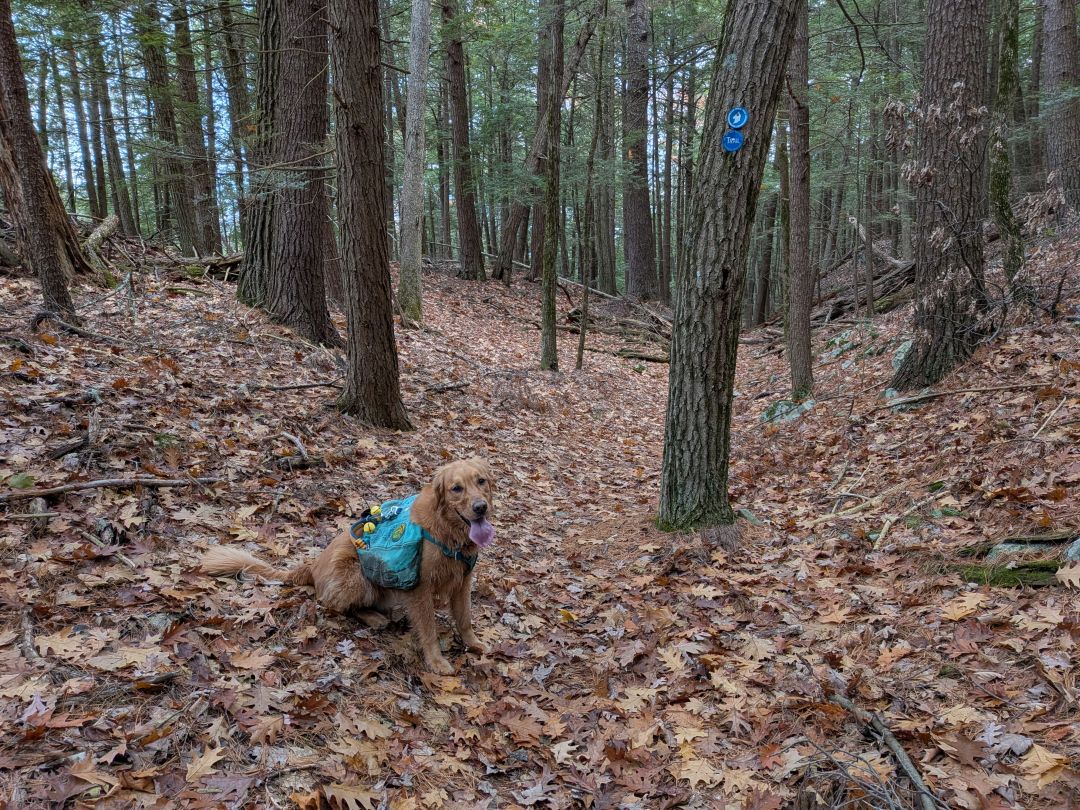
Sunny was polite enough to pose for a photo.
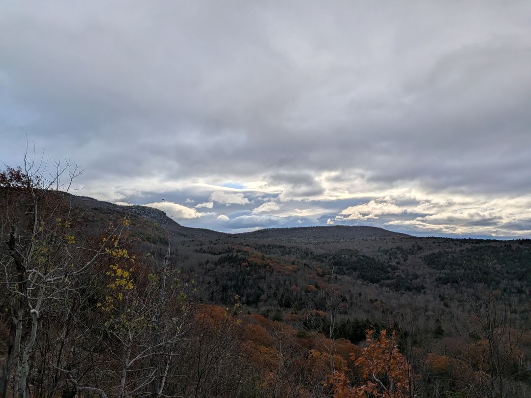
This spot also offers views East towards Sleeping Beauty.

I hardly noticed the steady climb up Erebus's Southwestern spur. It was gentle and fun. The woods were very pretty despite it being brown season. Note that, during this hike, Sunny was only off-leash in the climbing wall area. We are in hunting season now and it's best if he stays tethered. He also wore double bells today, just to be on the safe side.

The steady climb up Erebus's Southwestern spur was a little tiring, but not terrible. It was gentle and fun. There are a couple of junctions along the way, including one that can take you down to Red Rock Bay. We remained on the Ridge Trail for the entire distance. I did end up shedding my jacket as we climbed. I was well over-prepared for the hike, but this is the time of year for being over-prepared.
The woods were very pretty despite it being brown season. Note that, during this hike, Sunny was only off-leash in the climbing wall area. We are in hunting season now and it's best if he stays tethered. He also wore double bells today, just to be on the safe side.

We made excellent time crossing the ridge. I was feeling great. We reached the 2nd spur trail junction by 9am. We bore left. If you want to make a real day of it, you could hang right, climb Erebus, and then take a different trail down to Black Mt. Point if you want. I had no desire for Erebus Mt. today; I had campfire on my mind.
The trail climbs a short distance up to an elevation of nearly 1500' before it starts to descend. The West slope of Erebus Mountain is pretty steep, but the trail is well-planned and cuts across the slope instead of descending straight down. The trail is unsurprisingly rocky in parts because it's a trail on the side of a steep slope in the Adirondacks, but it's not too difficult to traverse.
The trail does, eventually, make a hard right and head straight down to the lake. But at that point, the trail has come to the base of the mountain where aeons of scree and dead vegetation have evened out the slope a bit.
As we descended, the wind started to pick up. I didn't put my jacket back on, but my sweat was drying about as fast as I was shedding it. The trees were creaking and squealing with creepy voices all around us.

I must reiterate that the trail maintenance is pretty good here.
AllTrails showed a few weird campsites near the shore that aren't on any other map. I wandered over to this one which sits just before the next junction. It is clearly not a designated site, but it's also certainly been used in the past. The sheltered spot and flat ground makes it a pretty good location.
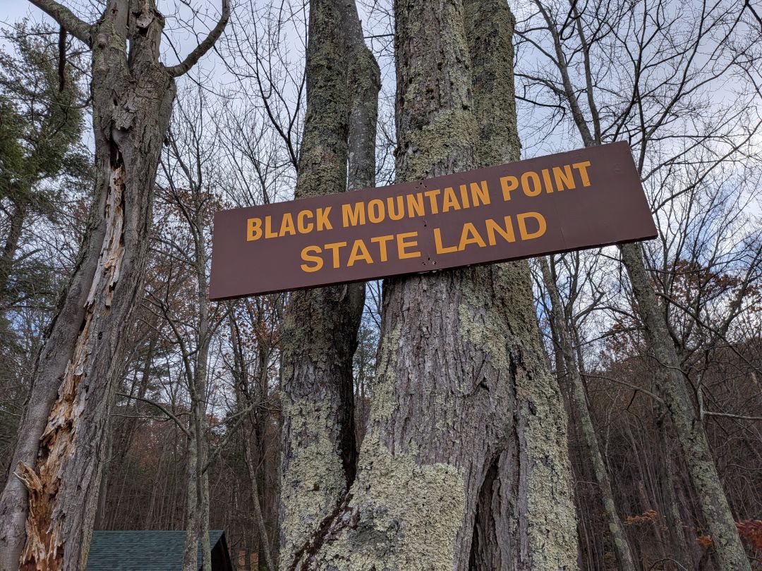
Black Mountain Point
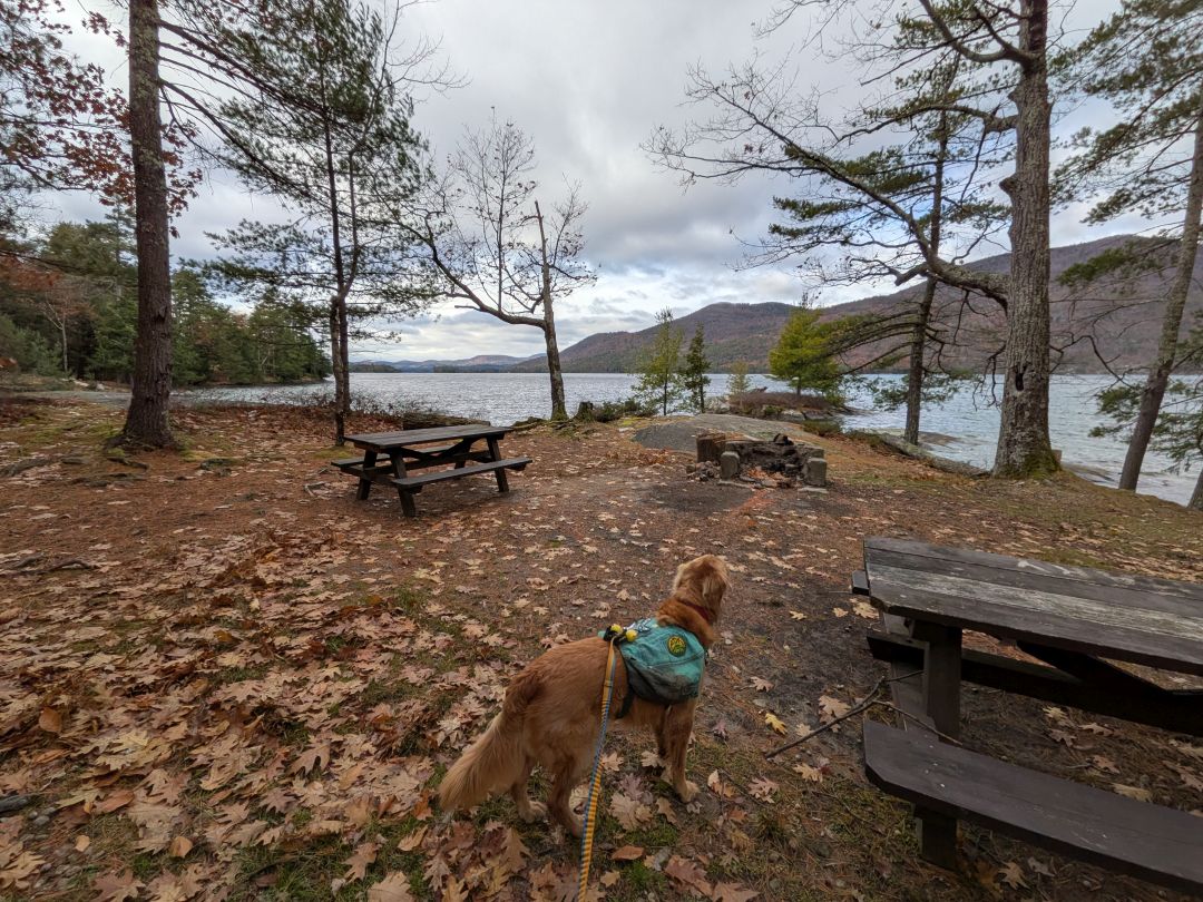
The Ridge Trail eventually empties out onto the Lakeside Trail where there are tons of campsites and day use sites. I'll detail those in a later section. For now, I want to fast forward to Black Mountain Point.
Even with a lot of exploring and taking photos, we arrived at Black Mt. Point Day Use Area by 10:30am.
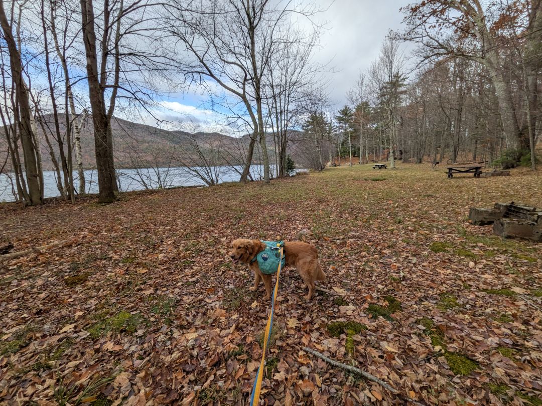
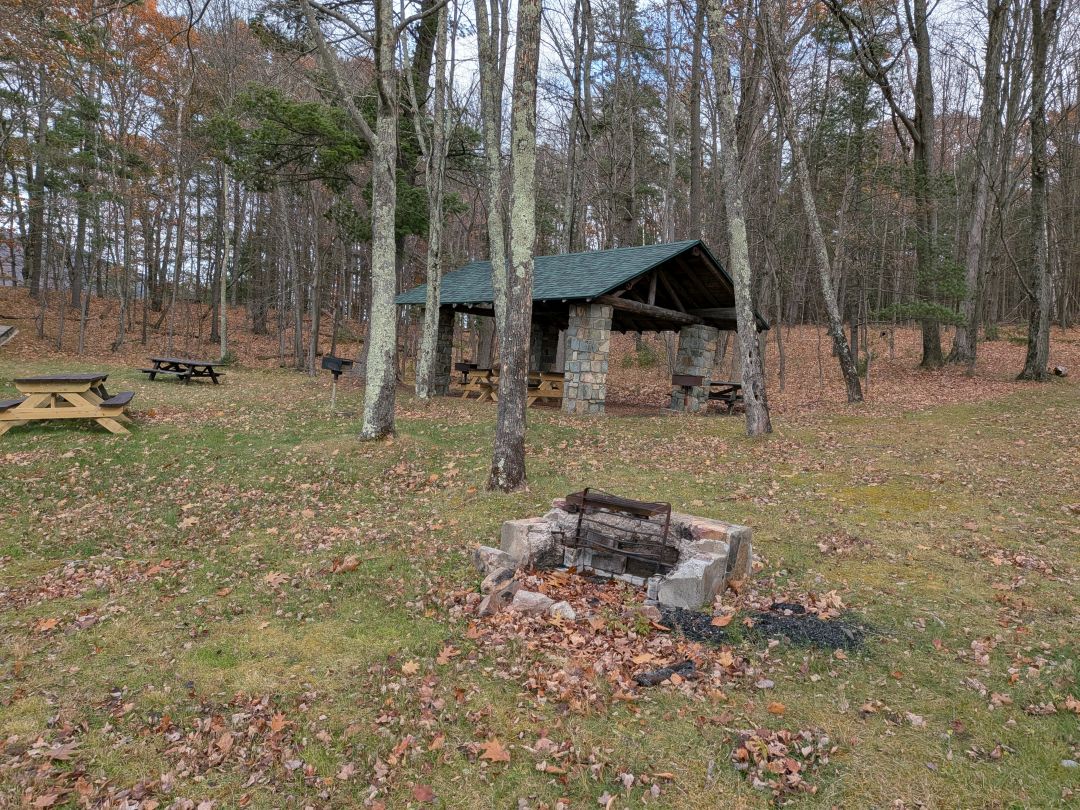
The first thing we came across upon approaching the area was a big field with lots of standing grills, fire pits, picnic tables, and a pavillion.
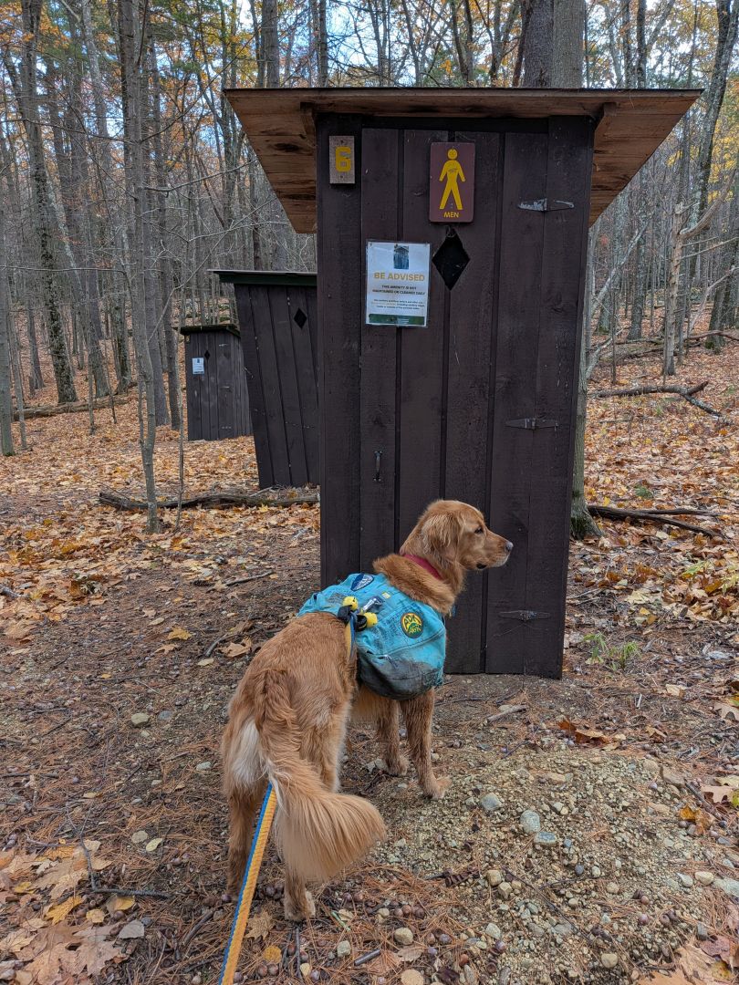
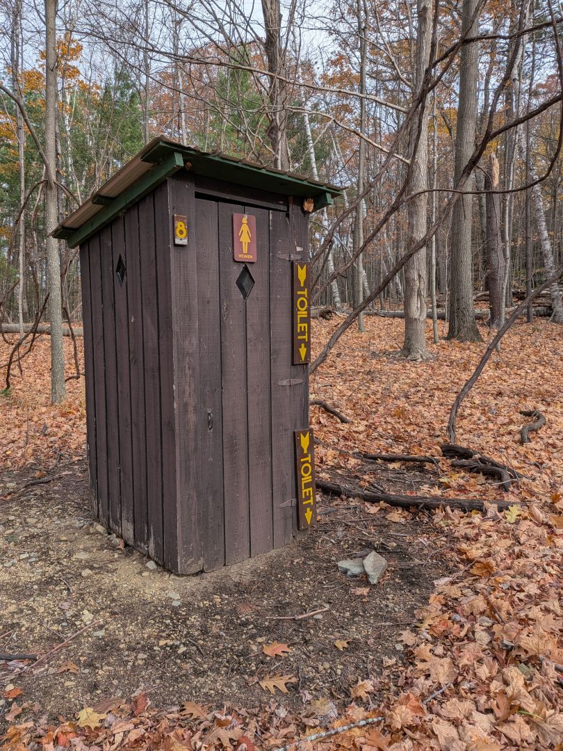
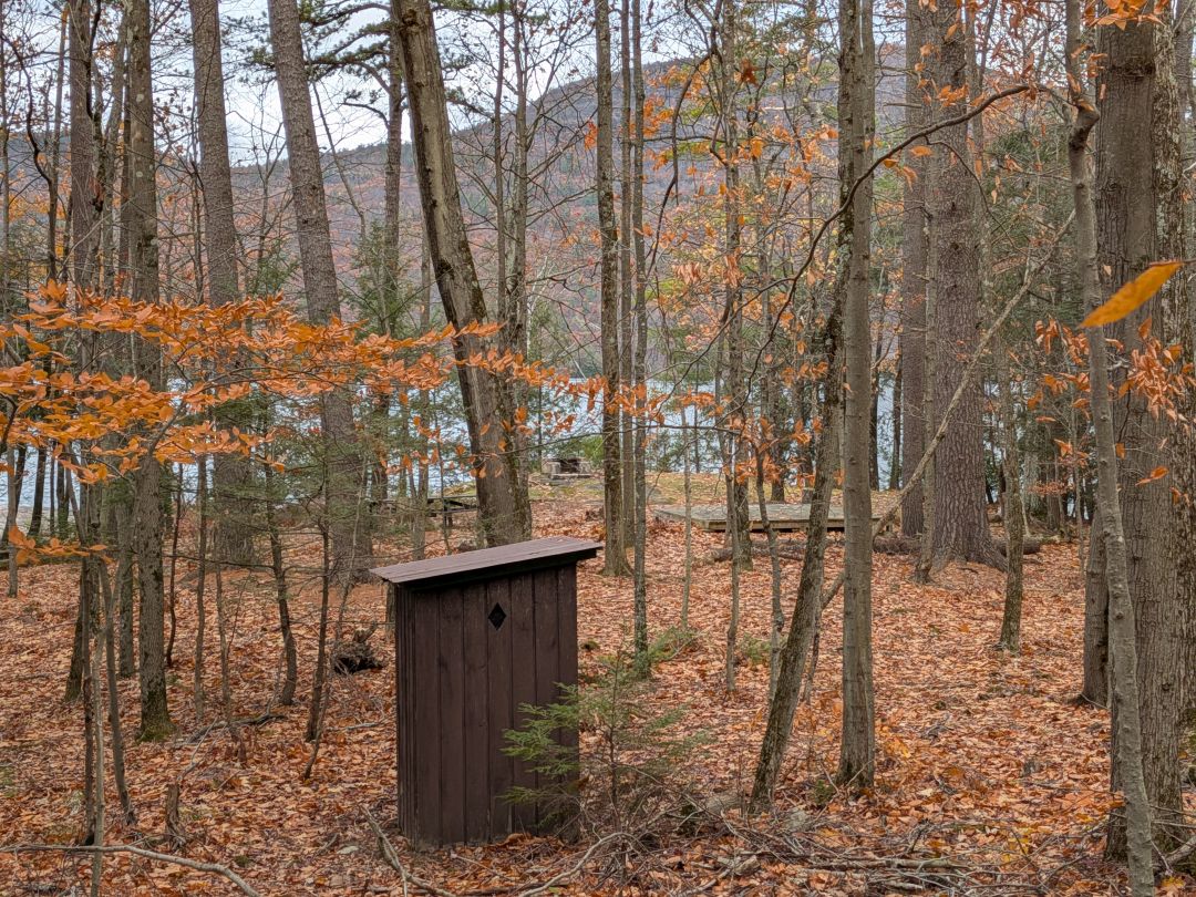
I couldn't help but laugh out loud at the gendered outhouses.

We hiked out to the Black Mt Trail junction, then turned around.

The point itself features several picnic areas including another pavillion. Despite the fact that the wind had picked up a bit, I decided we'd stop here for lunch.

I cut Sunny loose for lunchtime. It was chilly and windy, but beautiful. He was kind enough to pose for me in front of the Southern Tongue Range.
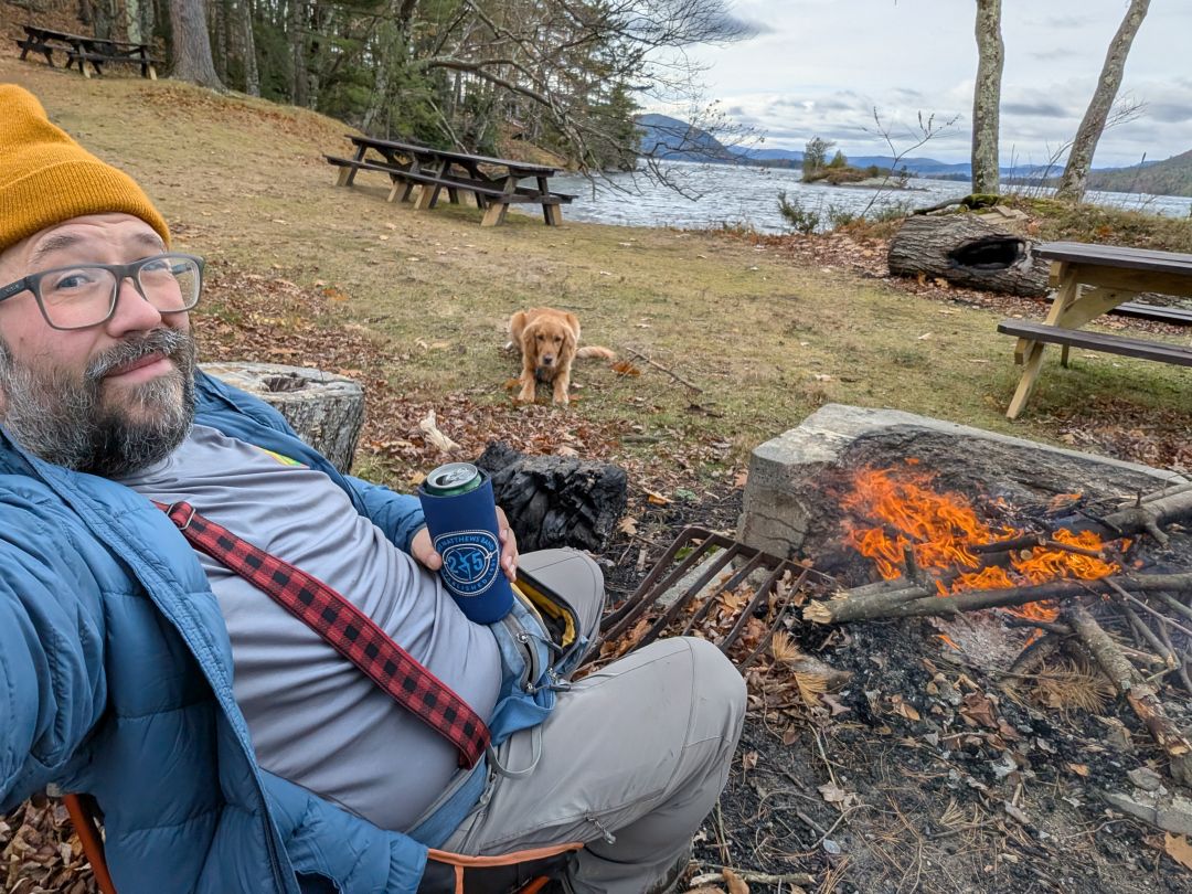
I'd brought my saw, but I didn't need it. There was plenty of dry, medium-sized wood laying around. I got a fire going and we were able to enjoy it for a little over half an hour.
Return to Shelving Rock via East Shore Trail
We doused our fire and were on our way by 11:30. The Lakeside Trail is an old carriage road and is very easy to traverse. There are a couple of washed out crossings along the way, but really nothing major.


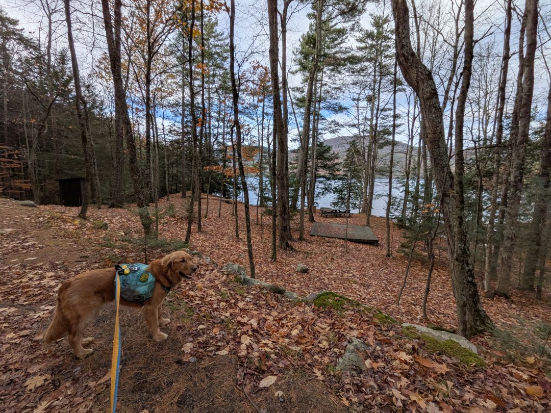
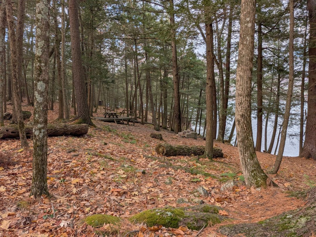
There are several campsites with tent platforms. I figured folks would appreciate a photo for each of them.
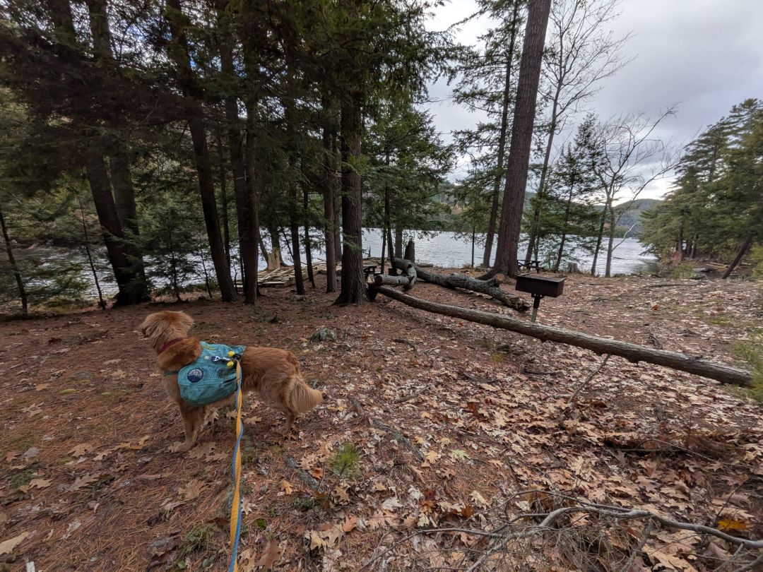

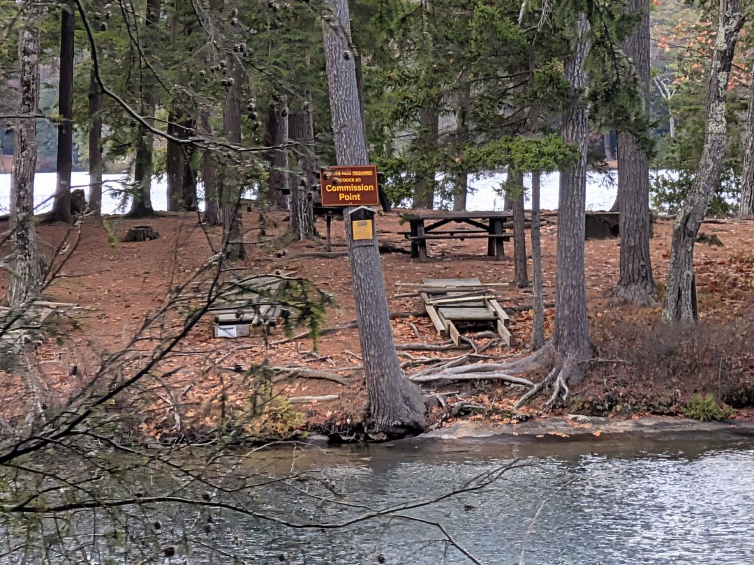
There are also tons of day use sites. All of these shoreline sites boast docks in the warm months and if you want to use them, even the ones out on Black Mt. Point, require pre-registration.
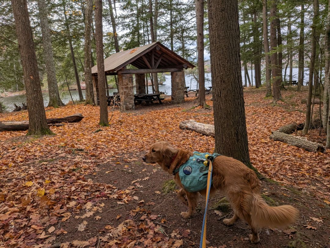
Another day use area with a pavillion.

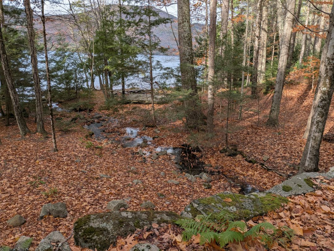
I saw a really cool rock formation with a waterfall as we drew near our junction. The 12-year-old in me wanted to climb it, but I resisted the urge.
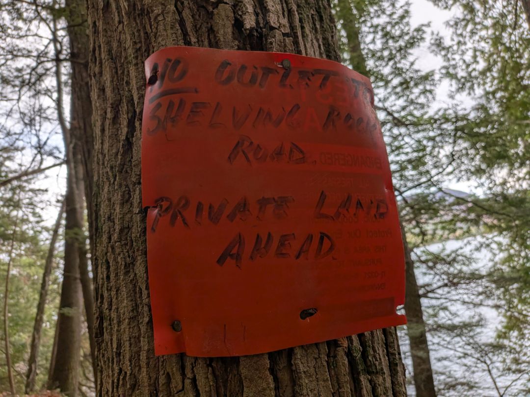

The maps were pretty clear about the terminus of Lakeside Trail abutting private property. The only way to this trail is either by boat or over the ridge somewhere. We hung a left and headed up over the pass between Shelving Rock and the climbing wall we'd left several hours ago.

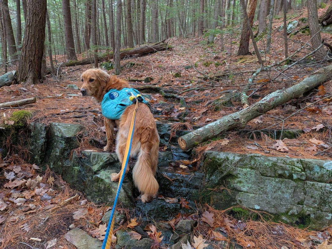
This trail steeply climbed a drainage at the beginning. It was also a bit unkempt. I was breathing fairly heavily right away.

After a while, the drainage opens up, allowing the trail to kind of switchback a bit into the ravine.
Sunny was still game for more miles.

Although we were in the finish line, the descent from the ridge down to the parking area killed my knees. It had been some time since I'd hiked more than 10 miles in one go and I was feeling it.
I slid into the car at around 2pm. I felt great having spent the day in the woods with my pal. It did feel weird that we hadn't seen a single person all day long, but I wasn't feeling lonely. Brown Season isn't my favorite of course, but it's still better than a day in the office.

East Shore Trail _ Ridge Trail loop.gpx (521.67 KB)