

We awoke to a warmish Monday morning. Sunny said goodbye to Quinn at around 6:20. I set the GPS to Bear Den Mountain, popped on The Talisman audiobook, and we were on our way.
Bear Den Mountain
Bear Den isn't just near Whiteface, but it's a part of Whiteface. The peak is situated on a Southern shoulder of the mountain. The old map I have hanging on my wall labels neither the peak nor the trail to get there, so I wonder if this trail was marked out fairly recently. The trailhead for Bear Den Trail is actually adjacent to ski area parking. When I came in around 8:30, the helpful attendants helped me find my way to the correct parking location.
I glanced at the trail and decided to start the initial hike wearing spikes, however since we were basically climbing the side of Whiteface, I figured I'd better bring along my snowshoes. I thought "Sure, why not give them an escorted tour of yet another Adirondack summit?"
I was wearing a new pair of REI hiking pants that Wendy had bought me. They fit great and had an elastic waist. Pants like this have no front zipper, so I figured I'd try these without my suspenders. I also put on a thin mid-layer jacket for some reason -- I knew I would regret it almost immediately. After ensuring Sunny's paws were generously slathered with Musher's Secret, we were on our way at around 9am. It was 20 Fahrenheit and breezy.

The trail was initially mostly ice with at most an inch of powder on it. All of the streams full of spring water were still running unfrozen. It took us about 15 minutes to hike the first quarter mile because I had to deal with taking off my mid-layer and Sunny had to poo. After these delays, we moved quickly.

Whiteface trail markers.

I let Sunny off his leash after the Flume Knob junction and he was very grateful. After this point, the trail began its ascent. Note that the hike up to Flume Knob also seems like a really nice hike with pretty Southeastern views and the Sentinel Range. I may have a go at it someday with Quinn.

The trail hugs the South side of the drainage as it climbs up. Here I felt quite protected from the wind I was hearing deeper in the woods.

I honestly just included this picture because I thought the contrast of the roots and trees against the snow was cool.

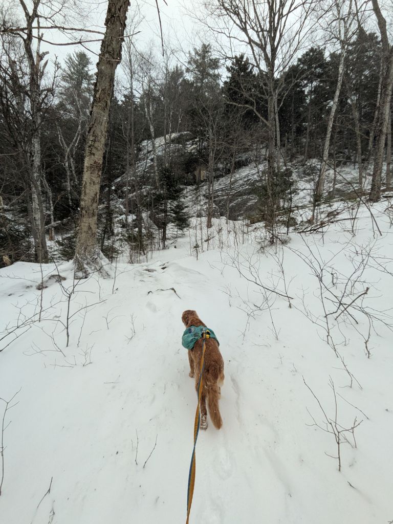
After a mile of gentle climbing from the trailhead, the snow began to deepen. The prints I'd been seeing had disappeared and the rut of the trail had shallowed to merely a hint. As such, I was veering a bit from the trail and crunching through the snow crust to my calf. It was officially time to put on snowshoes. Sunny waited patiently for me to do so.

"OH MY DOG, I LOVE SNOW!"
The climb to the ridge did get more steep, but I left my risers down most of the way. The trail climbs up the face of the ridge diagonally, then executes a few switchbacks to get you to the top. I did lose the actual trail a few times, but it was easy to stay on track regardless... I had nowhere to go but up after all.
I was once again super grateful for the gaiters Wendy had bought me for Christmas. My feet have never been so dry or so warm on a snowy winter hike.

And, besides, Sunny knew the way.

We reached the first overlook at around 10:45. The wind immediately slammed into us as we crested the ridge. Fortunately, it was blowing at us from the direction of Whiteface, so blowing us away from the ledge. The incredible views of Whiteface summit were obscured by blowing snow, but it was still quite breathtaking.

I watched the skiers negotiate the mountain for a little while before moving on.

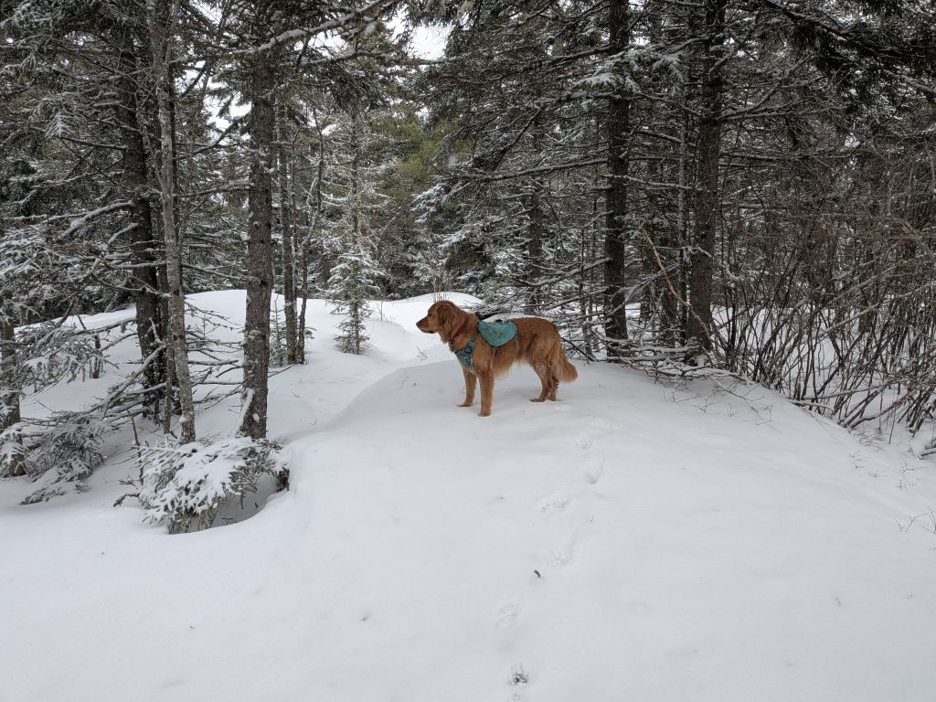
There were herd paths all over the place up here... literally. There were lots of piles of deer droppings everywhere. Clearly they'd been up here quite a bit recently. I'm not sure if the lee of the mountain is a refuge or if there's something they eat up here or what, but I've never seen so much deer activity at a peak like this.

After some tromping around and climbing, we eventually made it to the summit shortly before 11am, less than 2 hours after we'd started.

We didn't stay long. The wind was wild. Sunny did take the time to make sure the mountain knew who it belonged to.

Sunny was wary of the ledge and the wind. He dutifully posed for more safe pictures as we hiked back down from the summit. Apparently there's a herd path to the little knob in the distance, but I had no interest in wandering over there.

On the way back down, we noticed that our tracks were already starting to fill with drifting snow.

We flew down the mountain. I intentionally skipped two or three switchbacks, electing to, instead, just go straight down. It was honestly super fun. I only fell two or three times. Sunny was very helpful.

I kept the snowshoes on for the rest of the trip through the flats. The sun was really trying to do something, but it was mostly failing. Still, the wilderness was pretty today.

We arrived back at the car around noon, about an hour after we left the summit. I'd lost one of the baskets on my trekking poles and one of the chainlinks on my microspikes had popped, but we'd arrived unscathed, so that's a win. I carry 3 microspikes just in case anyways.
We fired up the car and headed for Cobble Hill in Lake Placid.
Cobble Hill
I really need to research these little hikes more. I often spend too much time reading up on High Peaks hikes, but way to little on the smaller ones. In this case, I didn't realize you had to park in town in order to hike Cobble Hill. I parked down at the tennis courts on the southern tip of Mirror Lake across the street from Lake Placid Pub & Brewery.
I packed my spikes in my bag, leaving the snowshoes. I also put on my suspenders; despite the elastic waistband on the pants, I'd missed the support of the suspenders on the earlier hike. I also re-applied Sunny's Musher's Secret.

Sunny and I started the 1-mile walk to the Cobble Hill trailhead a little before 1:00pm. It was a chilly walk along the lake and it took my fingers a little while to warm up after re-applying Sunny's paw treatment.

The Mirror Lake Dr. sidewalk features periodic stone cobbles that mark the 46 high peaks and their elevations. The sidewalk is well-maintained and was well-salted. This isn't as great for dogs, but Sunny is made of sterner stuff.

For the entire trip we could hear the baying of the sled dogs circumnavigating the lake. It was neat to see them in action. The sound kind of drove Sunny nuts. I wonder if he thought it was his friends, Korra and Zuko.

After a 20-minute walk we were at the trailhead and crossing the initial boardwalk. The trail was covered in about an inch and a half of snow with ice under it. I kept my spikes off at first.

Most of the trail winds between a fancy school on the right and fancy houses on the left. Still, it's not a bad walk in the woods.
Eventually, the trail gains elevation. The location is actually marked with an informational placard for visitors. It was here that I finally donned my microspikes. After a short jaunt uphill, the trail comes to the cliffs near the summit.


The cliffs lead to a big slab which has been worn smooth by decades of hikers. A stair had been put in to negotiate the cliffs, but now it was nearly a single, smooth sheet of ice. I managed the climb up well, but didn't put as much thought into descending as I should have.
For his part, Sunny decided "F that" and climbed up to the left, then crossed on snow instead.

There are pretty views across the lakes from the top of the slab. I could see Scarface today, but I'm sure the views of the Western High Peaks are pretty great on a clear day. The sounds of the baying sled dogs carried up to us on the wind.

We reached the summit at 2:00pm. There is an "window" lookout East-ish across a golf course and, I presume, the Northeastern High Peaks beyond. We didn't see much today.
"Dad. Why are we here?"

I slid down the top of the slab with Sunny following close behind.

When I looked down the last of the stairs with exposed stone, I wondered how I was going to get across the rest of the ice to the right. I slowly made my way down to the trees and snow ahead and had a look. I genuinely couldn't think of a safe way across. Down straight beyond the trees was no good either... it was all ice with a treacherous slide of a good 20 or 30 feet. It wasn't vertical by any means, but even a controlled slide would end with a very fast collision.
Instead of panicking and making a go for it (either across or down), I climbed back up to the snow on the slab. There, I crossed where Sunny had done so earlier, then came down on the far right side where there were more trees growing from between the rocks and there were some bare rocks without ice on them.

Here's a look back at the slope. You can see how, on the right, the slope is just a sheet of ice, but on the left, there's some crunchy terrain and trees I used to negotiate down. This section took me a full fifteen minutes to negotiate.

We actually enjoyed the walk back and when we got to the public waterfront, Sunny and I went down to the lake to walk on the ice. I took some photos, but got paranoid about crunchy noises and went back to shore. Although the dog sleds were out, I'm still a bit chicken when it comes to standing on a damn lake.

We arrived back at the car at 3:10 and were home a bit after 5:30. Unfortunately, the weather had made it impossible to make it back in time for Quinn's hockey practice, but I called in to watch for a bit before hitting the showers. I was able to repair my microspike. However, I'll have to hunt down a new basket for the trekking pole; the company that makes these used to sell them in pairs with the baskets included. Now, they sell them separately with only a 2" dirt/leaf basket. Lame.
With these two mountains done, we're only one mountain away from completing the Lake Placid 9er; Mount Jo. I'm hoping to hike this mountain with Quinn on a clear day, so it may be a bit of time before we get that done. Despite the poor visibility today, a day hiking is better than a day at work. I'll probably return to these mountains at some point as well; both are extremely accessible.


Afternoon_hike_at_Bear_Den_Trail.gpx (143.81 KB)
Afternoon_hike_at_Cobble_Hill.gpx (156.4 KB)